![]()


COL SANTO
from Giazzera
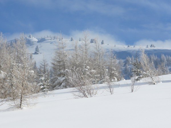
The Col Santo is a modest elevation (2112 meters) located in the northern part of the Group of Pasubio. Despite the unpretentious altitude, it is an exceptional vantage point that allows you to enjoy a 360° view of almost all the peaks of Trentino and of the Dolomites of South Tyrol and Belluno.
The route described here is very simple and offers no particular difficulties, and is suitable for any season. With the snow it is a path extremely suitable for snowshoeing, and especially in the highest part, a real fun for skialpers. The central part is rather flat while the lower part is in the woods.
Access
From Rovereto you drive along the Vallarsa, on the orographic right bank, for about 5 Km until you see the signs for the refuge Giazzera and Lancia: follow them up to the parking place at Giazzera.
Ascent
From Giazzera you continue for a few hundred meters down the road to one of the two parking lots. Usually the road is cleared of snow up to the second parking lot.
From there you continue on the snow-covered road to a junction (SAT signpost) and follow the path that goes off to the left (towards Col Santo).
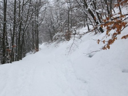
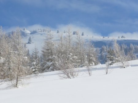
You go up the first stretch in the woods, rather steep, until you come out on a beautiful plateau.
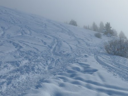
From there, the path climbs up along lawns and some shrubbery; the slope is challenging but pleasant, fairly constant.
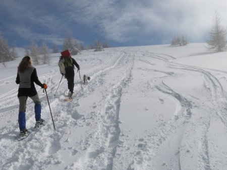
You gradually gain altitude, until you get very near to the Alpe Alba; from there you could descend to the refuge Lancia. Instead, to reach the top of the Col Santo, you keep going near the ridge that gently leads to the Doss dell'Anziana.
Continuing on the wide ridge you descend a few meters and then go up the last few meters (steeper) to the top of the Col Santo.
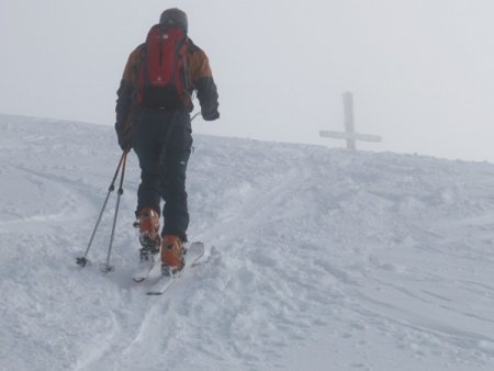
Being a rather isolated summit, it often turns out to be a windy area. For the same reason you can enjoy a stunning 360° view.
Descent
From the top you can descend along the same route (as shown in the GPS track), or you can go beyond the summit and down below the saddle that separates the Col Santo and Col Santino, and from there down to the Refuge Lancia. This second solution, however, turns out to be steeper and requires stable snow.
■ bd, 2014-02-09


