![]()

PYRAMID OF COL DEI BOS
by Spigolo Alpini, from Ristorante Strobel

The Pyramid of Col dei Bos is located at a short distance from Falzarego in the direction of Cortina d'Ampezzo. The Spigolo Alpini, despite the name, climbs only a short distance along the edge, while the rest remains more or less aside.
The route is composed of 10 lengths, on rock good, especially in the upper part, and is provided with cemented ring stops, except the second, equipped with two nails. There are also a number of nails along the lengths, some of which are cemented.
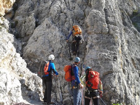
Author's Note: I thank my friends Flavio and Armando, who shared with me this climb, and who appear in several photographs.
Access
About 1.5 Km east of Falzarego along the SR48, you will find a large parking lot, both in front of the restaurant Strobel, and on the opposite side of the road.
Approach
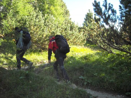
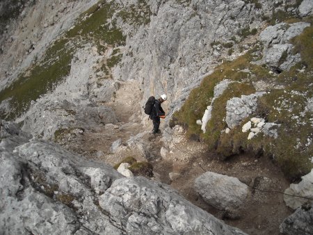
From near the restaurant Strobel, you take the path that leads to the north-east, with some zig-zag sections:
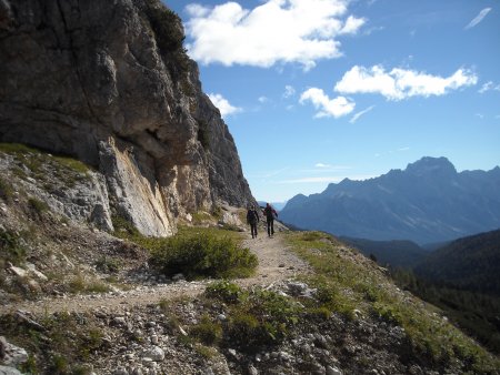
After about 15 minutes you find an old military road, which takes you east:
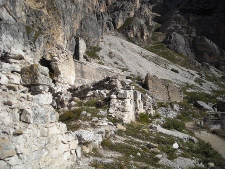
You quickly reach a clearing at the foot of Falzarego towers, occupied by the ruins of an old military hospital:
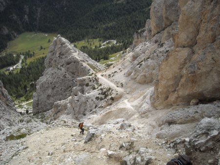
You go straight following the track that goes east along the mountainside:
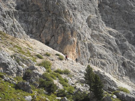
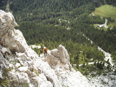
You pass at the foot of the Pyramid, near the starting point of the Ferrata degli Alpini:
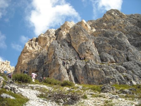
Just beyond, you find the start of the route:
Route
L1: Climb straight up along the slab, up to the stop:
30 m, III.
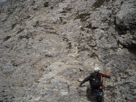
L2: You continue to rise straight on; at the end of the length the rock has some stretch with debris:
You stop on two nails. 45 m, III, II.
L3, L4: You easily climb up to a little saddle, then climb the wall to the left, reaching a terrace with large boulders:
Then you easily go on up to the stop. 55 m, II, IV-, II.
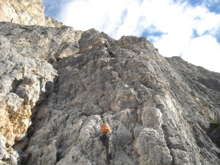
L5: Climb up the plaque roughly following the crack, up to the stop:
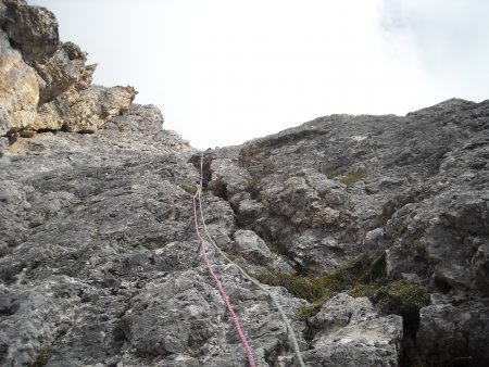
40 m, III.
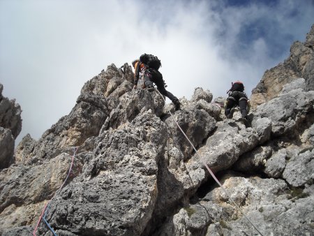
L6: You climb up to the edge:
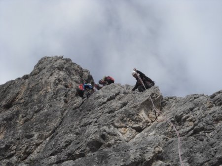
And follow it briefly, up to the stop. 30 m, III, III+.
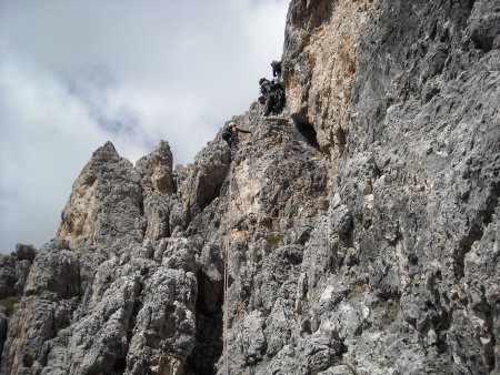
L7: Climb up a wall, then continue easily up to the stop:
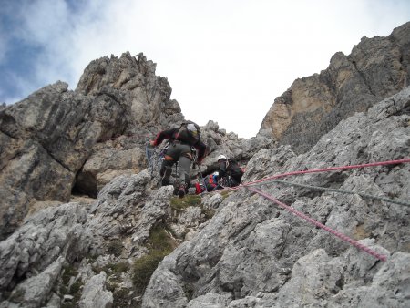
35 m, IV, I.
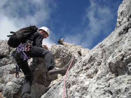
L8: Climb the small outcrop above the stop:
Then you easily cross to the left up to the stop. 40 m, III, I.
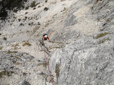
L9: You cross a few meters to the left, then follow a dihedral-chimney:
Climb up the next slab, up to the stop 40 m, III+, IV, III.
L10: Climb the wall above the stop, then on easier rocks you reach the exit, stopping on a spike:
30 m, IV-, III.
Return
Following the route of the Ferrata degli Alpini, go down about ten meters to the north, then go up for a few tens of meters:
You thus bypass a small top, reaching a little clevis behind, and from there you descend along a gully, on rocks and gravel, with the aid of a slack cable:
You reach and cross the meadows below, and a stream, thus joining the path that descends along the valley towards another clevis:
You pass beyond it, then quickly descend to the old military hospital, and from there you follow back the approach path.
■ gb, 2013-09-14


