
WEIßENSTEIN
Pietralba, from Leifers / Laives
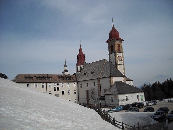
The Sanctuary of Weißenstein / Pietralba is a place of indisputable spiritual charm, and can easily be reached by car.
Instead, the hike proposed here starts just above the village of Leifers / Laives. In fact there are two possible routes to reach the goal from this starting point, and with my friend Fulvio we have chosed the path forward along the Brantental, and the return path along the Trail of Pilgrims, thus accomplishing a ring.
Access
From the town of Leifers / Laives, you drive along Via Pietralba, a paved road that goes across the town, and then enters the Brantental. Approximately 500 m after the village, there is a bridge on the right:
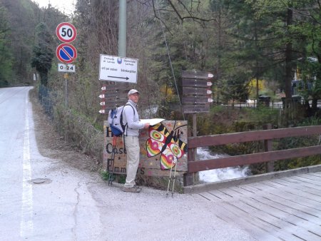
There are indications for Pietralba in two directions: path 5 and path 1. Shortly before, on the left going up, there is place to park at the left side of the road.
Route
To follow the route in the proposed way, take the path 5, thus proceeding along the paved road. By doing so, you follow the river, staying at times on its left side, and sometimes on the right, crossing it here and there, passing over a bridge:

You shall neglect any fork diverting from the main road.
Shortly after the fork to Swabhof, the road is no longer paved:
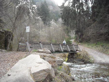
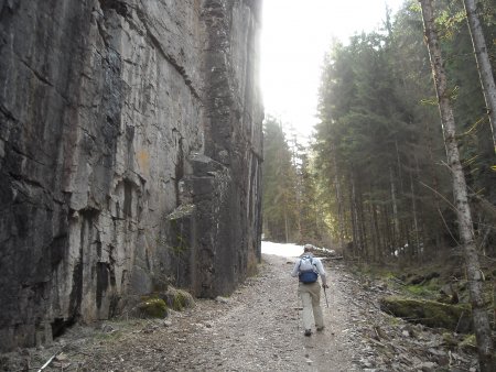
Around 500 m after passing by a crucifix

you reach a fork at Location Hackl, where you turn right along a path that is signposted 5B and P. The path, after crossing a bridge, curving to the right and crossing another bridge, climbs through the woods:

This way you reach a large clearing in Location Flaschthaler.
You can enjoy a beautiful view of Deutschnofen / Nova Ponente, on the opposite side of the valley:

You passe by some houses, a small church, another crucifix, and higher on the left, on the edge of the forest, you can see the provincial road SP72:
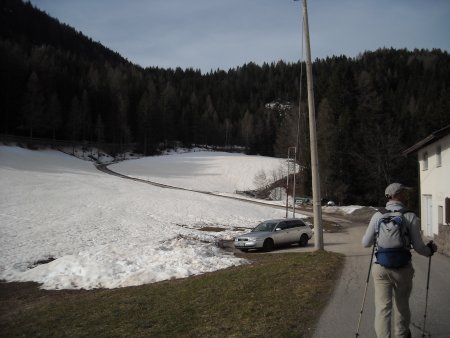
You reach it, and follow it to the right for about 150 m, to find, on the left, a path that leads back into the forest. You follow it, always finding clear directions to the destination. After a while, you begin to find the latest stations of the Via Crucis; this is a sign that the path has joined the path 1, also called the Trail of Pilgrims:

Soon, you will reach and re-cross the road, thus arriving to the sanctuary:
From just above the sanctuary, with a clear sky, you can see the Rosengarten, the Latemar and the Corno Bianco.
Return
You go back along the path forward, but at the junction between the paths 1 and 5b you take the first, which continues straight ahead.
After a stretch of woods, you cross a clearing, then the road, then you pass aside a building at location Drei Viertel (three quarters), and keep going on:
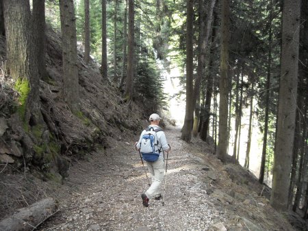
You reach and cross a bridge:

You continue for a long stretch, up to and beyond Location Halbweg (half way), a refreshment place, no longer in business:

You continue for another long stretch, gradually losing altitude until you get a view of the Adige Valley and the town of Laives:

A short detour is possible, to the church of St. Peter, which you can see, while going down:

Shortly after, you get back to the starting point.
■ gb, 2014-04-06


