![]()

GRAN DE FORMENTON
from Lake Tovel, tour and climb via the Normal Route
Superb hiking in the northern range of the Brenta Dolomites, an uncrowded area, rich of beautiful views and landscapes.
The Gran de Formenton consists of two peaks: the Horn of Flavona, 2910 m, and the Horn of Denno, 2873 m, which appear overlaid from the Val di Non, showing a shape of a grain of corn, hence the name.
The proposed route follows a lengthy trail around it, with the possibility of climbing to both the tops, via the Normal Route. The climb to the tops requires familiarity with the progression on rather crumbly rocks, although the difficulty is very limited (grade I).
At the beginning of the season or after a snowy winter you may need crampons and ice ax, regardless of the climb to the tops.
Author's note: I thank my friend Roberto, who has shared this journey with me, and who appears in several photographs.
Access
From Tuenno (TN), you take the road to Lake Tovel, until you reach the parking, which lies just before the lake.
Route
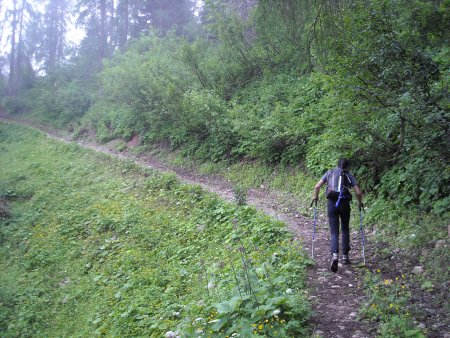
You walk along the northern lakeside to the west up to the fork for Malga Tuenna, where you take the dirt road:
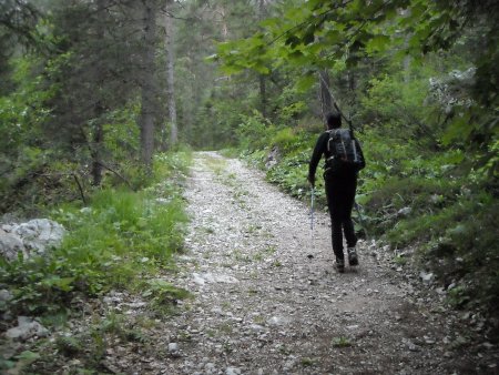
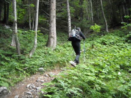
Halfway to Malga Tuenna following the indication, you take a path that branches off to the left, and ascends through the forest:
So you reach the Alm:

Then you take the path 310, and thereafter, at a crossroads, the path 380, with some not very apparent sections of trail, though always well marked with white-red signs:

Further along the trail descends for a while, and then crosses again, with some treacherous steps when wet:
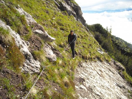
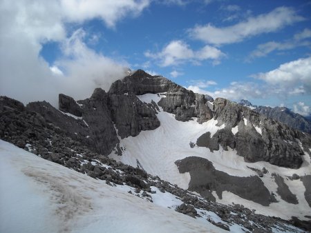
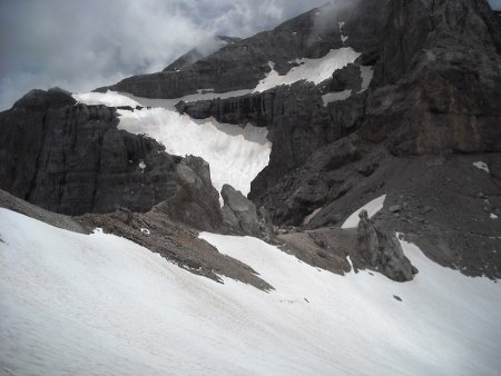
Shortly after you reach the entrance of the Val Gelada di Tuenno, where you can see the cliff that obstructs the entrance:
A stretch of via ferrata, which starts at the right side of the cliff, allows to overcome if without great difficulty (via ferrata equipment recommended for the inexperienced):
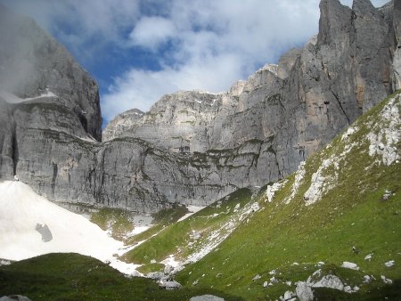
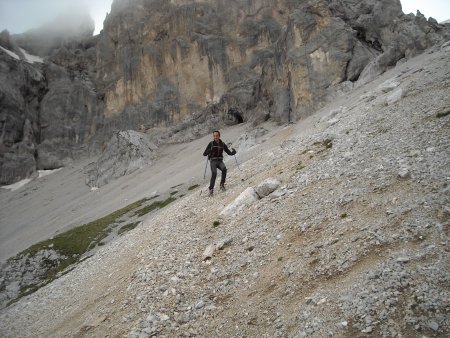
Then you go up the upper part of the valley:

On your right you can see the walls of Cima Parado, Cima Sassara and Sasso Alto, and on your left the walls of the Gran de Formenton.
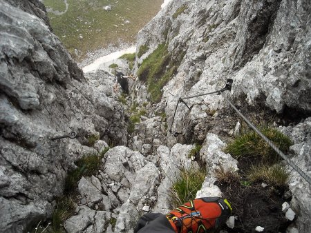
At the end of the valley, on the right side, a short stretch of equipped trail overcomes another, smaller cliff:
Then you will soon reach the Passo di Val Gelada, and the view opens to the Val Gelada di Campiglio, the Refuge Spinale, and Cima Vagliana:
Then you take the path 336 in the direction of the Bocchetta dei Tre Sassi.
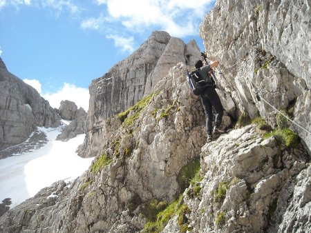
The climb to the Horn of Flavona begins shortly after, at a big cairn, from which you can easily climb to a saddle, located to the left of a small rocky body.
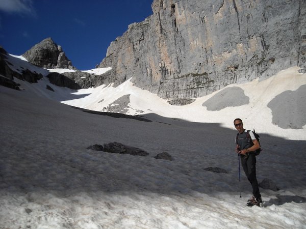
You cross the gravel on the left (the snowfield in the picture), then go up on easy rocks
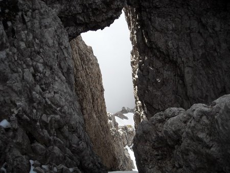
passing next to a window from where you can see the Bocchetta dei Tre Sassi
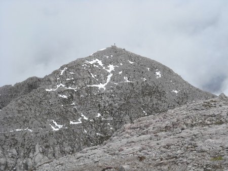
thus reaching soon the west ridge:
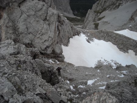
The climb goes on across successive ranges of steep scree and rocky streches of grade I:
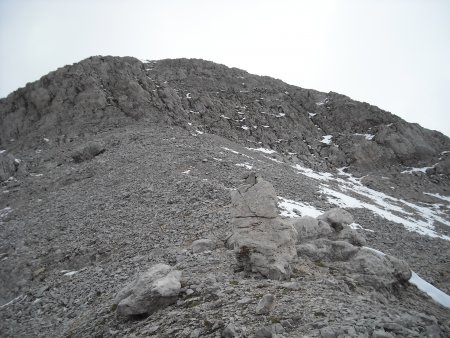
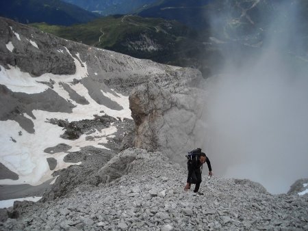
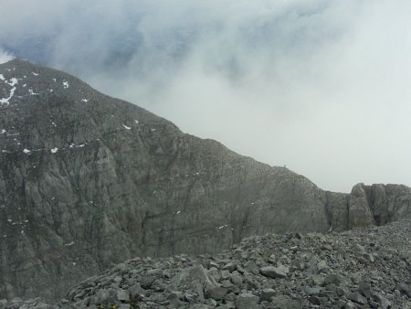
Near the summit the ridge become less steep (nice view on Campiglio and surroundings):
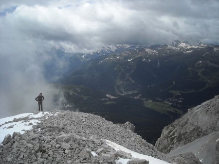
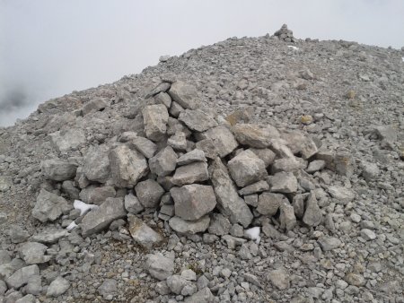
and so you reach the summit, marked by a cairn:
You have a nice view to the west on Sasso Alto and Cima Sassara:
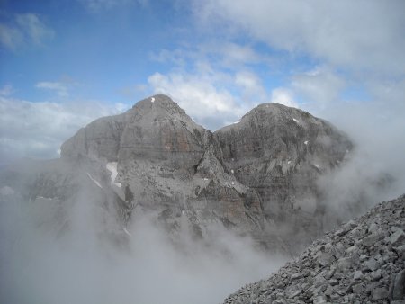
The Horn of Denno is well visible on the north-east:
It can be reached by descending the east ridge of the Horn of Flavona, down to the saddle between the two summits, and then going up the south ridge of the Horn of Denno, sometimes sharp and exposed:
Then you return via the same way, first reaching back the Horn of Flavona, then the path 336, and take it towards the south-east.
You pass a short stretch of equipped trail, possibly some snowfields, and then reach the Bocchetta dei Tre Sassi:
You can enjoy a nice view on the Valle delle Giare and the range of Cima Val Scura:

You go down through the Valle delle Giare:
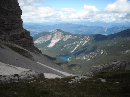
You continue along path 334, which descends more than 1000 m in altitude (a couple of easy equipped stretches), heading to the valley bottom. Beautiful view towards Lake Tovel:
Down in the valley you reach the path 314, a comfortable dirt road that comes from Malga Pozzol, that in about 3 Km downhill leads you back to Lake Tovel. A stretch of lakeside path allows you to get finally back to the starting point.
■ gb, 2014-07-11


