![]()

CIMA TOSA
by Via Migotti, from Rifugio Brentei
Cima Tosa, the highest elevation of the Brenta Dolomites, offers really outstanding views, if you have the opportunity to climb in a day of favorable weather. Of the two possibilities of least difficult ascent, the Via Migotti is the one that requires more effort, but pays off with a long and beautiful climbing, although easy, offering panoramic views more and more spectacular while you gain altitude.
Overall, this route also has the advantage of showing in one day many of the different aspects and facets of this area of the mountain range.
You should not forget a pair of crampons, the equipment for double rope descents, and the equipment for protecting yourself along the stretches of ferrata, and the climbing route itself.
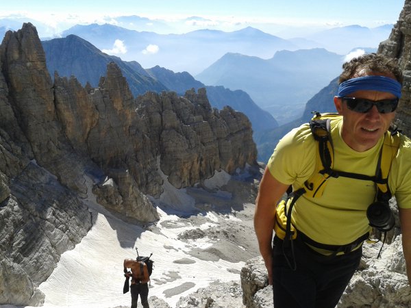
Author's Note: I thank very much my friend Giovanni, and my friends Flavio and Antonio, who on two separate occasions have shared this journey with me, and who appear in several photographs.
Approach
From Rifugio Brentei take the path 327, entitled to Daniele Martinazzi. The path goes down in the valley between the refuge and the Crozzon di Brenta:
Then it goes up on the other side, going round the base of the Crozzon:
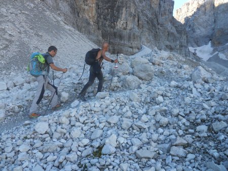
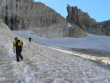
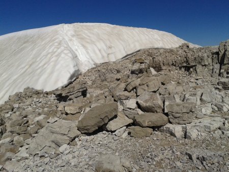
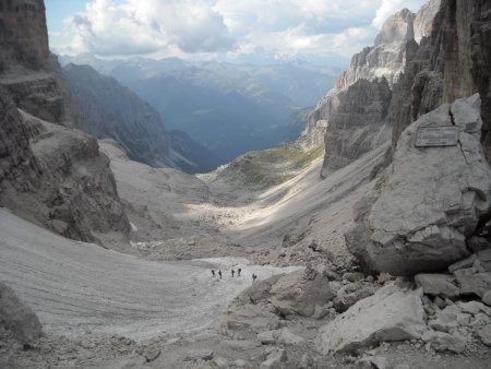
Thus you enter a long, wide valley, where you go up not without effort, in the direction of the Vedretta dei Camosci (vedretta = glacier), and the pass of the same name, Bocchetta dei Camosci:
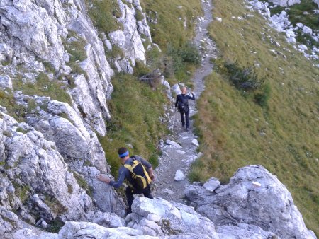
In order to avoid most of the glacier, take an equipped trail on the left, identifiable by white-red stamps that are visible from afar:
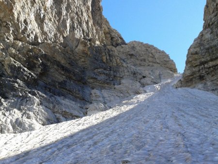
This variant leads to an upward along the left side of the valley, which leads directly to the upper part of the Vedretta:
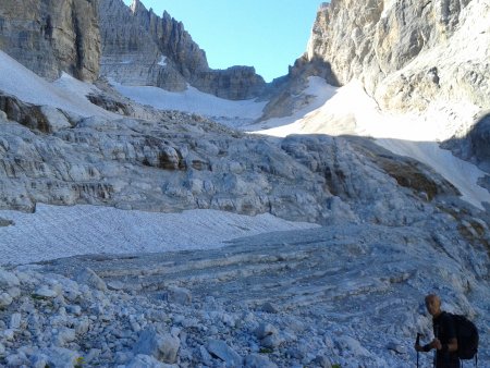
But instead of heading to the Bocchetta dei Camosci, you must then turn left, towards the Bocca d'Ambiez:
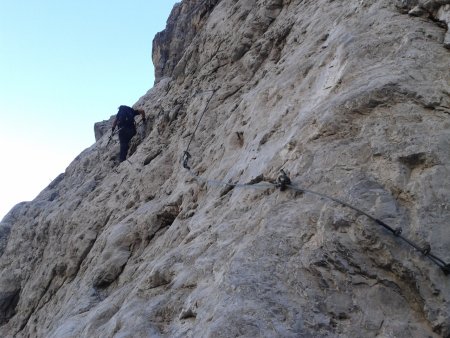
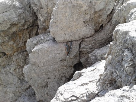
On the left side of it, a stretch of ferrata avoids the ascent of the last part of the glacier. The starting point of the Via Migotti is located along the very last part of the ferrata, before the Bocca d'Ambiez, indicated by a red-painted round sign.
Route
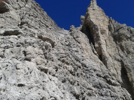
Climb the wall, looking for the easiest line of ascent, and the most solid rocks:
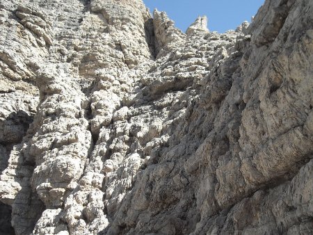
This takes you, after rising 60-80 m of wall, in discrete exposure, on a shoulder, from which appears the long channel, along which the rest of the climb will take place:
You go up in a succession of terraces, short stone walls, and ramps, without particular exposure or difficulty, on rock of more than satisfactory quality, not slippery, as opposed to the one that is along the normal route. Red marks, and cairns, as well as cemented rings, regularly spaced along a good part of the climb, mark here and there the route.
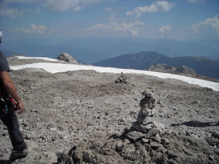
In the upper part of the channel, that gradually widens, you shall keep rather on the right, until you finally emerge near the top (large cairn):
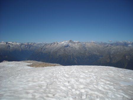
You will soon reach the summit. The view stretches as far as the eye can see in all directions, and includes both the surrounding summits of the group, and many other mountain ranges. The view in the direction of the Presanella is spectacular:
Return
You take to the east, bypassing the output of the Canalone Neri, an impressive gully, and following the frequent cairns:
You reach the edge of a first, large amphitheater, within which you go down, then the edge of a second amphitheater, not dissimilar from the first, within which you descend again, up to the edge of a wall, where you find the first point for a double rope:
A descent of about 20 m leads to a terrace with a second point of descent. A descent of about 25 m leads to yet another terrace, from which you de-climb on grade I rocks, and and then trail tracks, to quickly meet path 358, which you take and walk along for a long stretch, until you reach Rifugio Pedrotti.
From Rifugio Pedrotti, take the path 305 to the Bocca di Brenta. From there, take the path 318, and descend the Val Brenta Alta:
After a long descent and crossing, which in the initial part includes some snowfields and short stretches of rock equipped with a cable, you eventually reach the Refuge Brentei.
■ gb, 2013-09-04


