![]()

CIMA GHEZ
via the North-East Ridge, from Rifugio Cacciatore
The Cima Ghez, a summit of 2713 m in the southern sector of the Brenta Dolomites, is mostly reached by the Normal Route, which climbs along the southern ridge. However, there is another very interesting access, along the north-eastern ridge, which is described here.
The itinerary is presented as hiking, but is reserved for those who already have good experience in the mountains, do not fear the exposed passages and the friable ground, and have a good ability to orient on barely marked trails.
Author's Note: I thank very much my friends Roberto and Giampiero, who have proposed this route, and who appear in several photographs.
Access
You can reach the Refuge Cacciatore, in Val d'Ambiez, using the shuttle service from San Lorenzo, that can be booked by phone. The author and his companions have preferred to leave the car at the Alpenrose Refuge, more comfortable for the return, and be transported from there to the Refuge Cacciatore.
Route
From the Refuge Cacciatore, first you take the path 325b (towards Rifugio Agostini), passing near Malga Prato di Sopra. Later, at location Busa dei Malgani, you turn right along the path 351 (towards Malga Ben).
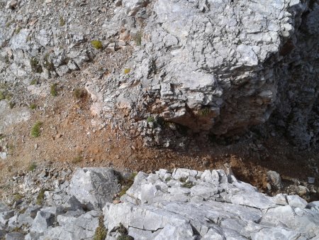
The trail runs along a mountainside of grass and pines, and then traverses to the right under the walls of the Dos Dalum. After having crossed the base of it (metal cable on the rocks above it), you leave the path, going up to the left, in the Valley of Dalum:
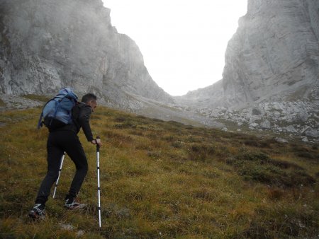
You climb laboriously, following ephemeral or non-existent traces, first on meadows, then on rocks and scree:

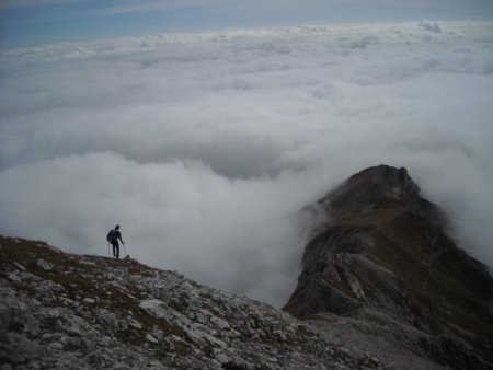
You reach a large amphitheater of gravel, the Busa di Dalum. From there you need to climb up to the Pass del Gias:
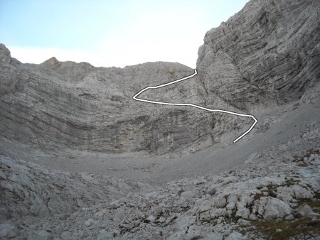
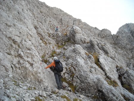
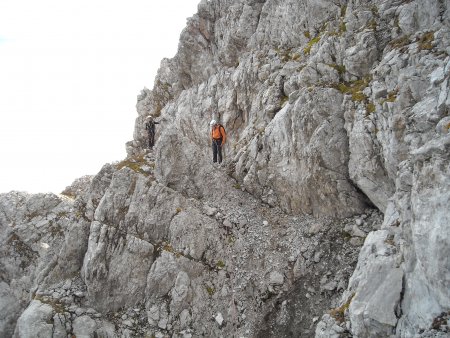
This part of the route has some exposed passages, especially at first, and goes along a trail with steps of grade I, rarely of grade II. It is marked with red dots and signs, sometimes not easy to find.
Climb to the right almost under the north face of Cima Ghez, where you take a ledge that rises slightly oblique to the left, taking over the gray layered walls:
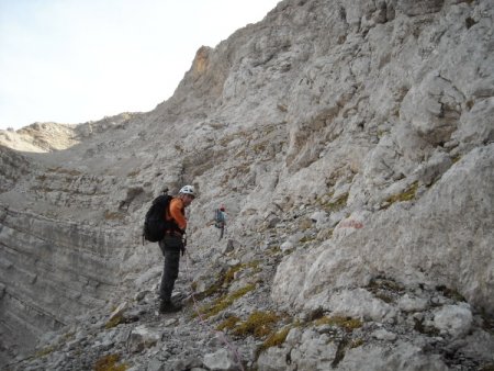
Shortly after passing a black niche the red dots indicate to change direction, to the right:
In the final stretch, you go up through a gully, up to the pass:
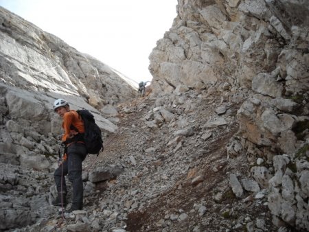
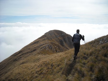
From there you continue along the ridge, towards the top:
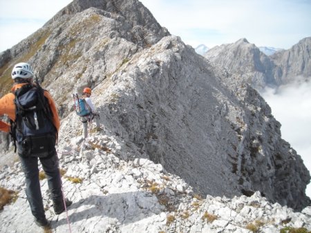
You follow almost exactly the ridge, up to a marked slit just before the top, at the end of a stretch of grass:
You go down about ten meters to the right, in the gully, and then traverse, following some very faded red stamp, and your intuition, on friable soil:
Finally you climb up, thus reaching the summit
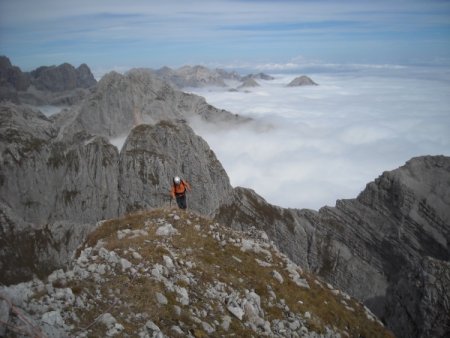
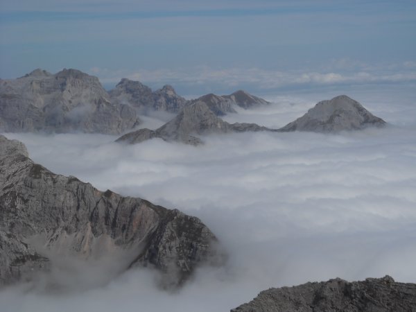
The view extends all around, on the peaks of the Brenta Dolomites, including Cima Tosa:
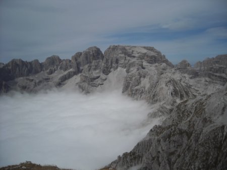
Farther away, you can see the Carè Alto:

But the view, if the sky is clear, also includes the valleys to the south-east, and farther to the north-east, the groups of the eastern Dolomites.
Return
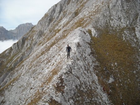
You go down along the south ridge:
You follow almost exactly the ridge, except for the rare and brief sections where the track slightly diverts. A stretch is particularly exposed:
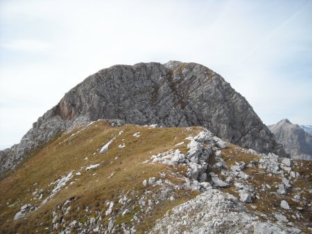
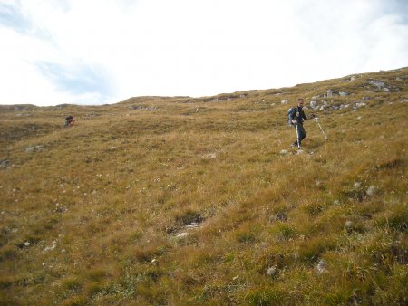
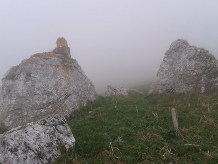
After a long stretch of mostly rocky ridge, you continue on grassy ground. You reach a clearly identifiable grassy saddle:
Here you leave the ridge, to descend the steep meadows on the left:
You reach the valley below, at an area dotted with stones and small boulders. You go down along long meadows to the south and then south-east, without a trace. Useful reference points are a pair of large boulders, near a watering hole:
Then a tall isolated tree, and finally a group of trees, close to which there is a signpost of the path 345b. There you take towards the north-east, until you reach Prada, where you find the junction with trail 345, which you take to the south, following it for long until you reach the Alpenrose Refuge, and the parking lot.
■ gb, 2013-09-28


