
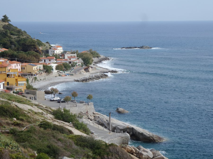
Pomonte
Photo 1 of 21
© gb for trekking-etc.it
Pomonte
Photo 2 of 21
© gb for trekking-etc.it
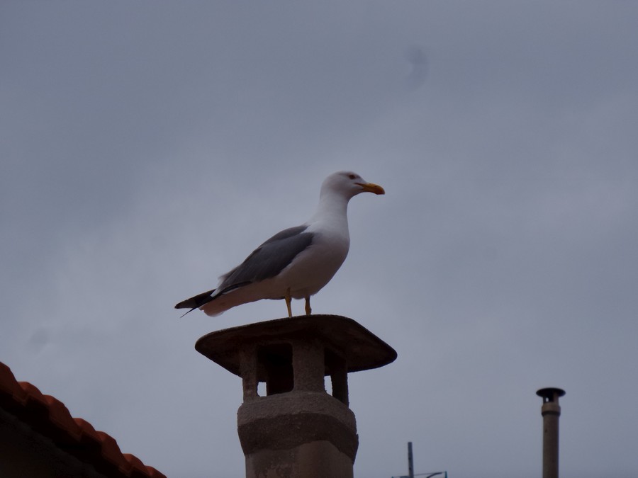
Gull
on a roof at Pomonte
Photo 3 of 21
© gb for trekking-etc.it
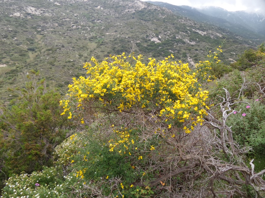
Brooms
Photo 4 of 21
© gb for trekking-etc.it
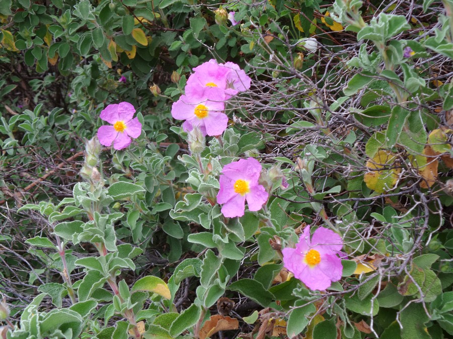
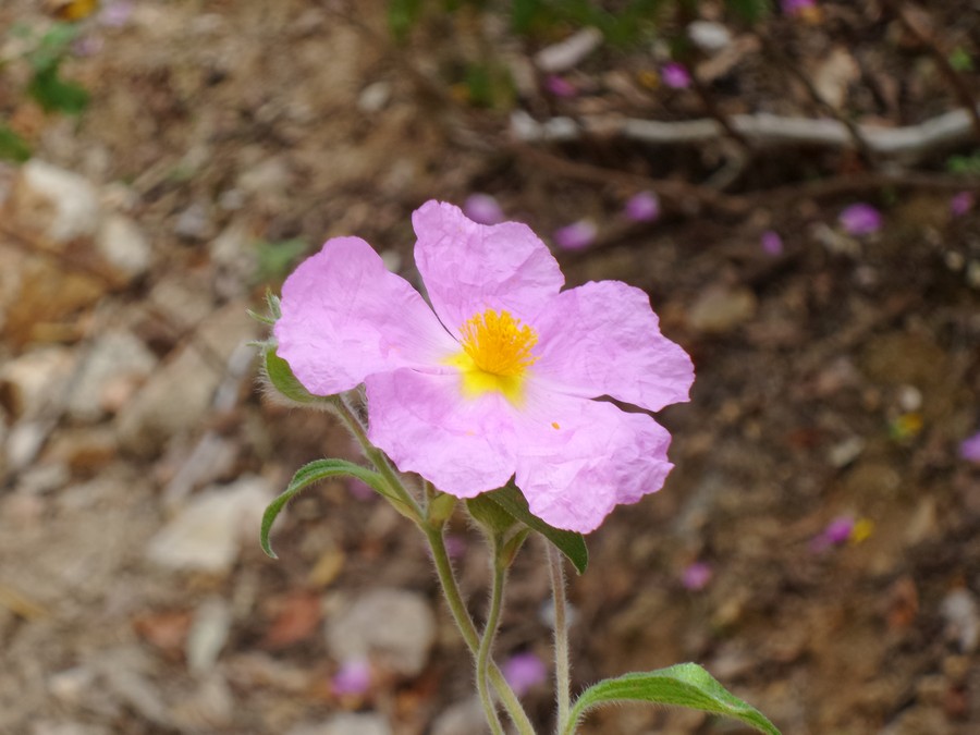
Cistus albidus
Photo 5 of 21
© gb for trekking-etc.it
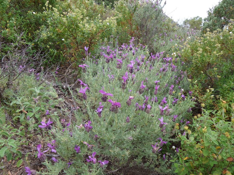
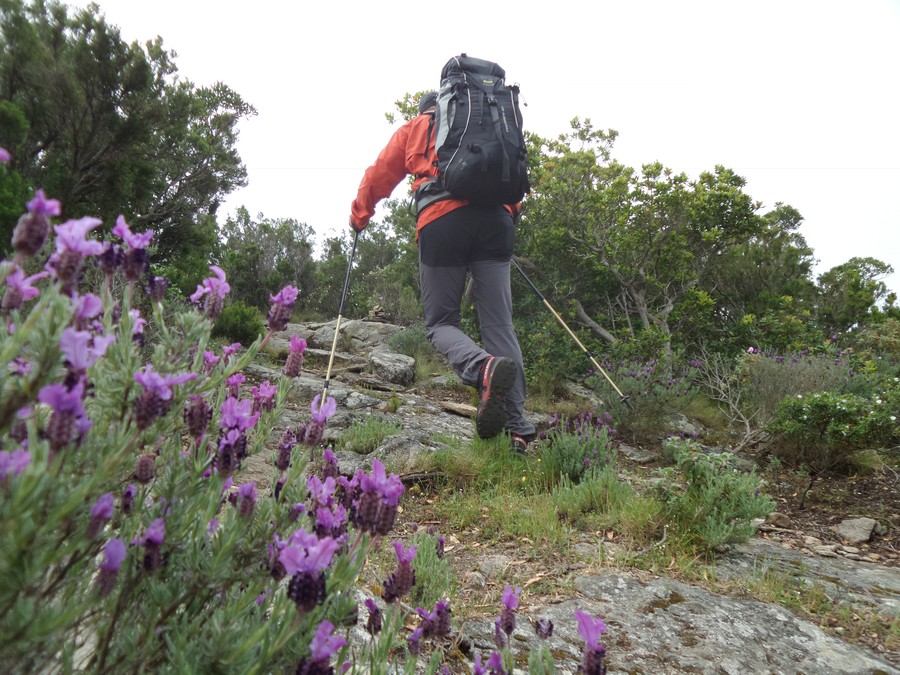
Wild lavender
Photo 6 of 21
© gb for trekking-etc.it
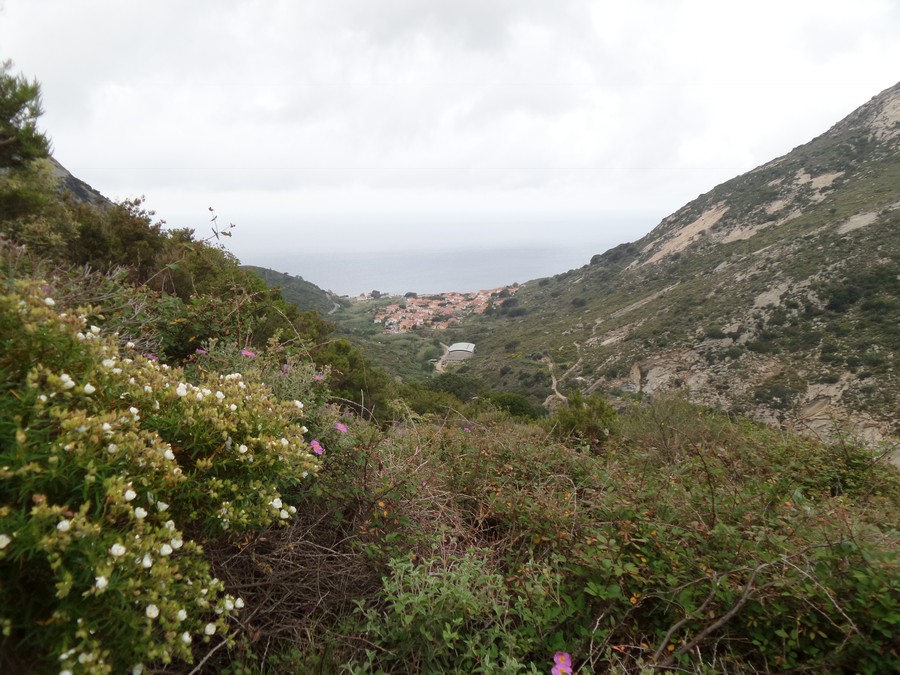
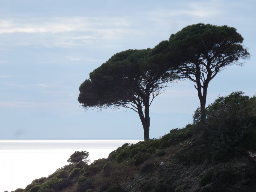
View towards Pomonte
Photo 7 of 21
© gb for trekking-etc.it
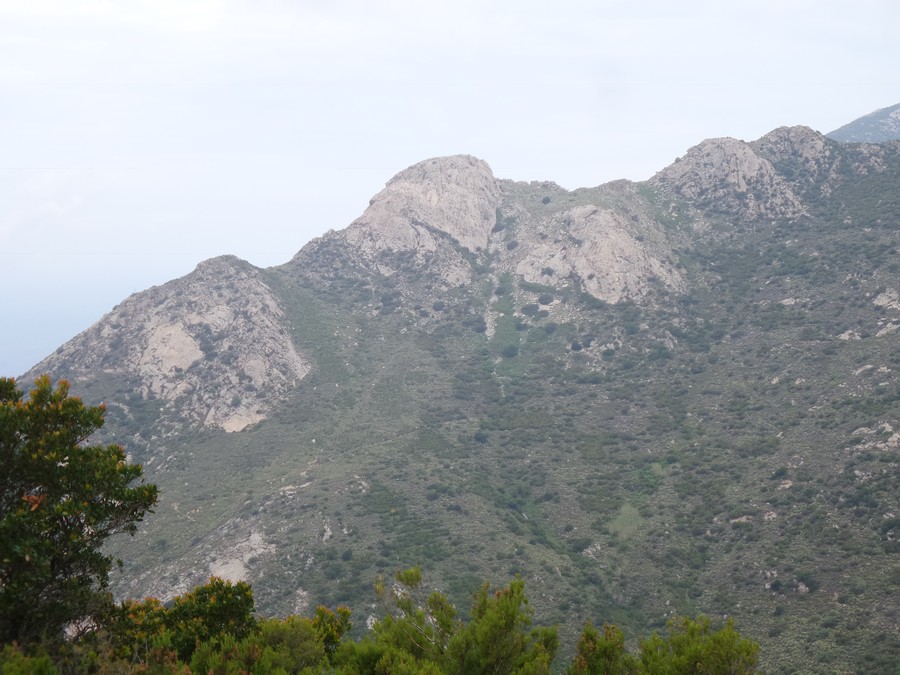
Monte San Sebastiano
Photo 8 of 21
© gb for trekking-etc.it
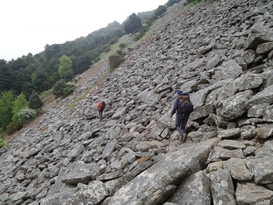
Trail
Photo 9 of 21
© gb for trekking-etc.it
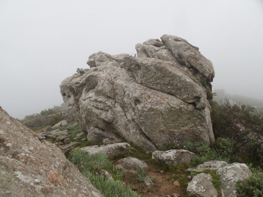
Monte Orlando
Photo 10 of 21
© gb for trekking-etc.it
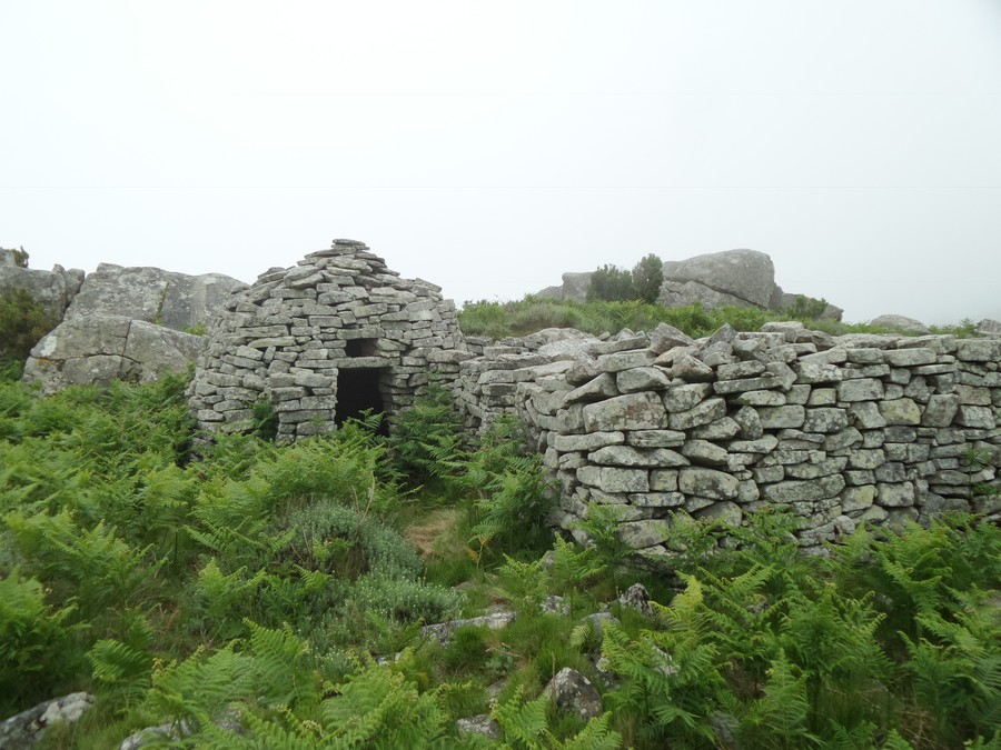
Shelter
Photo 11 of 21
© gb for trekking-etc.it
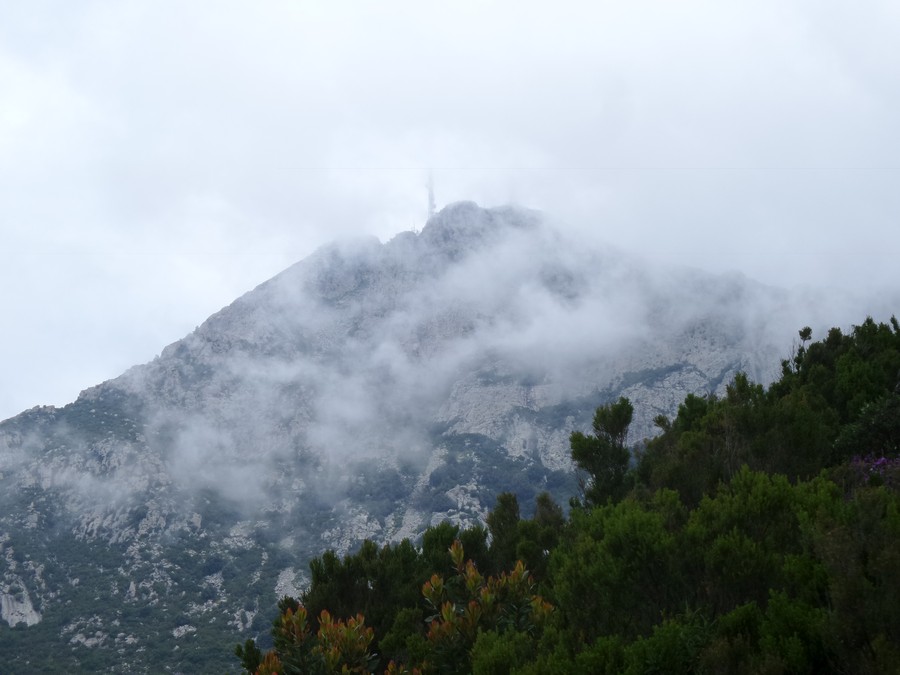
Monte Capanne
Photo 12 of 21
© gb for trekking-etc.it
Towards Monte Capanne
Photo 13 of 21
© gb for trekking-etc.it
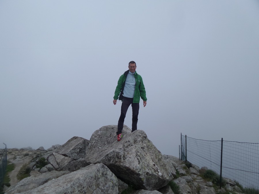
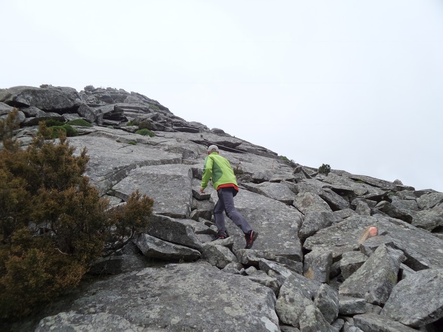
Monte Capanne
summit
Photo 14 of 21
© gb for trekking-etc.it
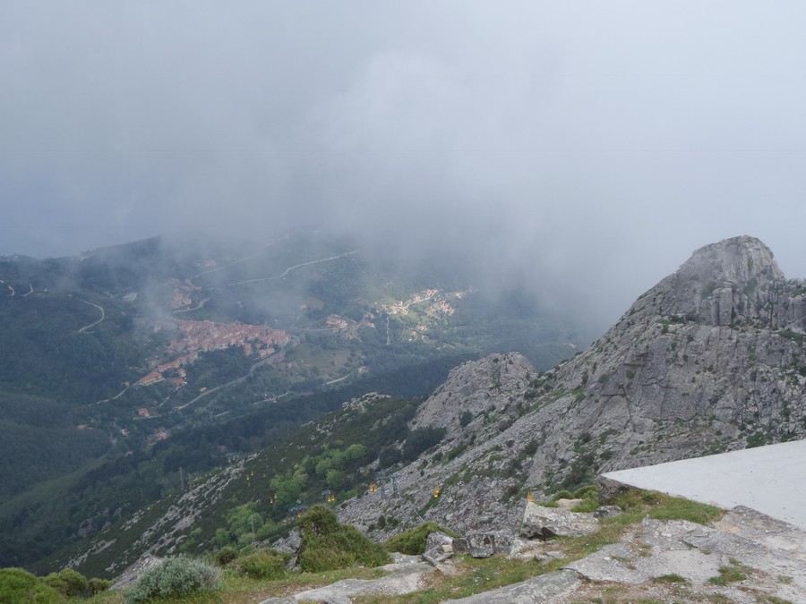
Panorama
on Marciana
Photo 15 of 21
© gb for trekking-etc.it
Trail
Photo 16 of 21
© gb for trekking-etc.it
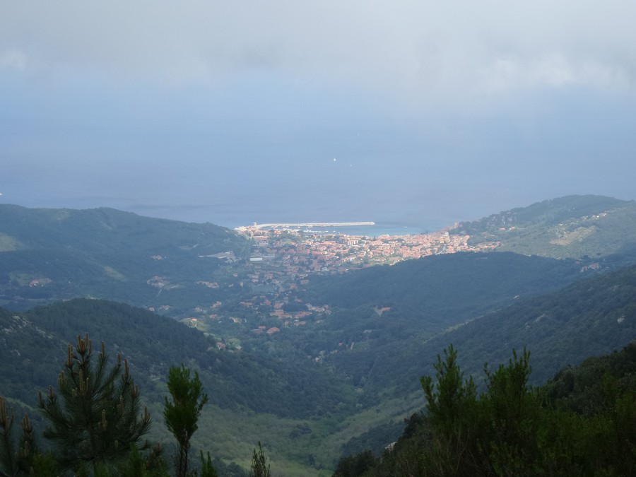
View
on Marina di Campo
Photo 17 of 21
© gb for trekking-etc.it
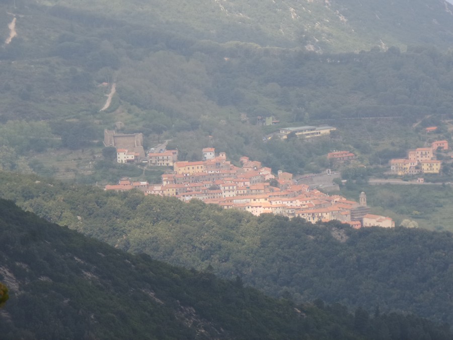
Village
Photo 18 of 21
© gb for trekking-etc.it
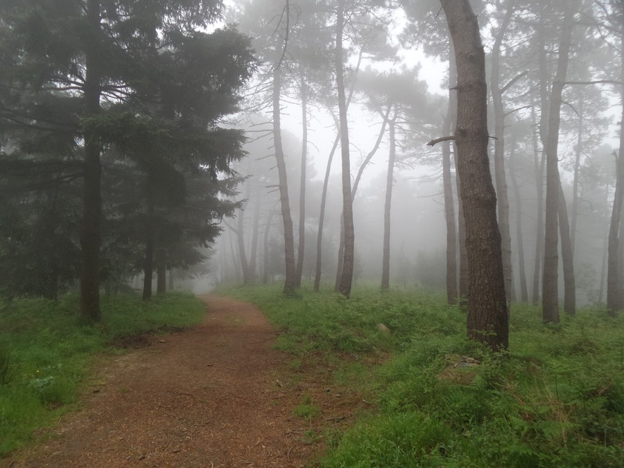
Misty wood
Photo 19 of 21
© gb for trekking-etc.it
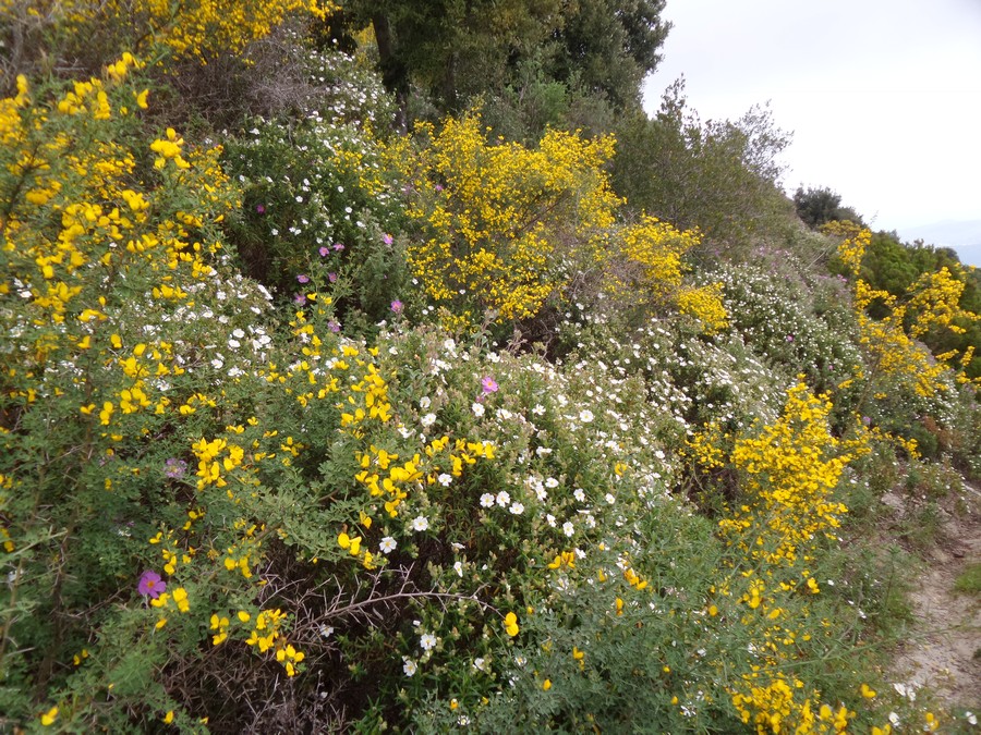
Blossomed bush
Photo 20 of 21
© gb for trekking-etc.it
Cistus albidus
Photo 21 of 21
© gb for trekking-etc.it