trekking-etc

Hiking

SECOND STAGE

from Procchio to Acquabona

Portoferraio

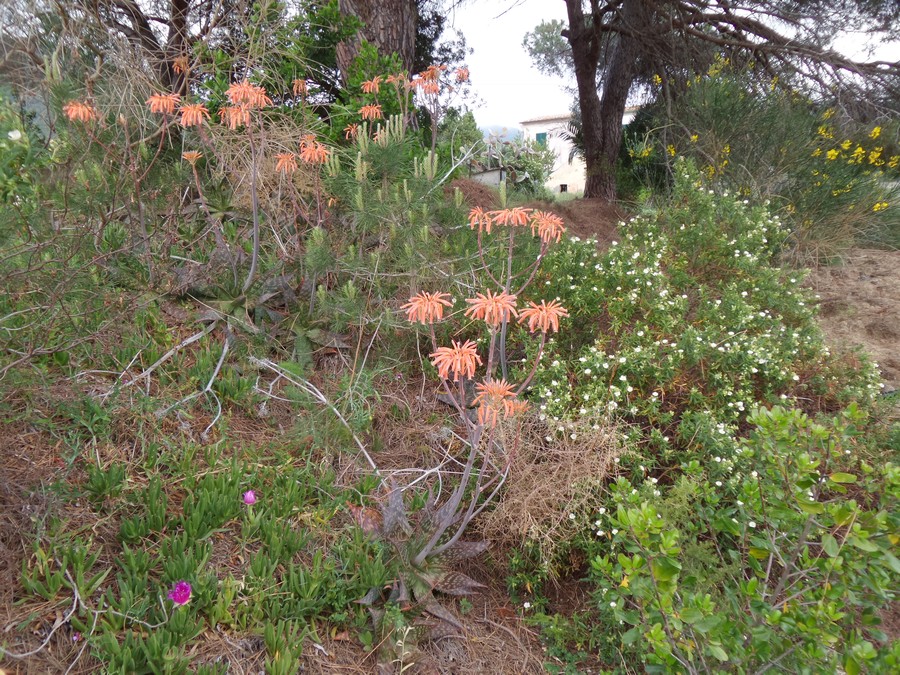
The second stage is much easier than the first, but charming all the same. A hilly landscape predominates, and the slopes are more moderate. Nature, during the spring, is green and blossomed.

You can enjoy good views if the sky is clear.


Trail

You start from Procchio, along the Route 25 towards Colle di Procchio, where you come across the first junction, where you turn left, while you go straight on the next, and turn left at the next, thus entering the country:

Prati in fiore

Here the trail has no significant slope:

Sentiero

After a turn to the left, you descend towards a small bridge and some ruins:

Sentiero

After going round them, you find the trail again, that becomes steeper:

Sentiero

After you have gained about 170 m in altitude, you reach a widening and a fork, where you turn left and proceed on a wide dirt road:

Sentiero

After about fifteen minutes, at a saddle with crossroads, you turn right:

Bivio prendere a destra

You climb on moderate slopes up to the top of Monte San Martino, 370 m

Monte San Martino

then you reach Monte Barbatoia, 360 m:

Monte Barbatoia

You can enjoy excellent views if the sky is clear:

Panorama

At the next junction you turn right, at the next one you go straight, until you reach Colle Reciso, where you reach a street, and turn left

Confluenza prendere a sinistra

and shortly after you turn right:

Bivio prendere a destra

You continue along a dirt road, with beautiful views on Portoferraio:

Panorama
on Portoferrario

After about 800 m, you reach a crossroads with an indication of private property on the right.

Here you can opt to head towards Monte Orello, or avoid it. The first choice is worthwhile if you are not yet tired, and if the mountain is clear of mist, so you can appreciate the views.

Otherwise you go straight, heading towards Le Picchiaie, either crossing the village or going around it, then towards Acquabona, to rejoin the standard path (see the variant in darker color on the map).

To Monte Orello, turn right ignoring prohibitions (they are invalid), pass along a few houses and a riding school, then through a beautiful forest full of cork trees:

Alberi da sughero

When you get to a clearing, you find a fork, where you go left, then a crossroads where you go straight, and yet another fork, where you turn right to go up in the woods along a comfortable road, on a modest slope:

20160510_121530

At a junction, you continue, following the curves of the road, and you reach Monte Orello, 376 m

Monte Orello

where there is a war post:

Monte Orello

Then you go downhill on a comfortable path:

20160510_123537

At a crossing you turn left:

Bivio prendere a sinistra

After a stretch in the woods, you reach a fork, where you turn right:

Bivio scendere a destra

Then you continue along the main trail until you reach Acquabona, and its golf courses:

Acquabona campi da golf

A fork on the left and the subsequent road allow you to avoid a stretch of paved road, but finally you reach the Route 26 again.

You follow it for a short distance to the north, then turn right in Via Schiopparello. Follow this road, passing a semi-curve to the left, and then turn left towards your destination:

Bivio prendere a sinistra

Agriturismo Montefabbrello
Portoferraio - Località Schiopparello, 30

Notice: from there you can easily reach the beach of Acquabona, which is located about 800 m away, and offers a nice view of Portoferraio

Spiaggia di Acquabona vista su Portoferraio

and of the Castello del Volterraio:

Beach of Acquabona
view of Castello del Volterraio

gb, 2016-05-10

Copyright © 2010-2021 trekking-etc - All rights reserved
Developed by gb-ing, powered by etc-cms

terms of use - disclaimer - privacy and cookies

24017868