
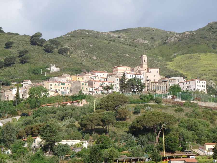
Rio nell'Elba
Photo 1 of 32
© gb for trekking-etc.it
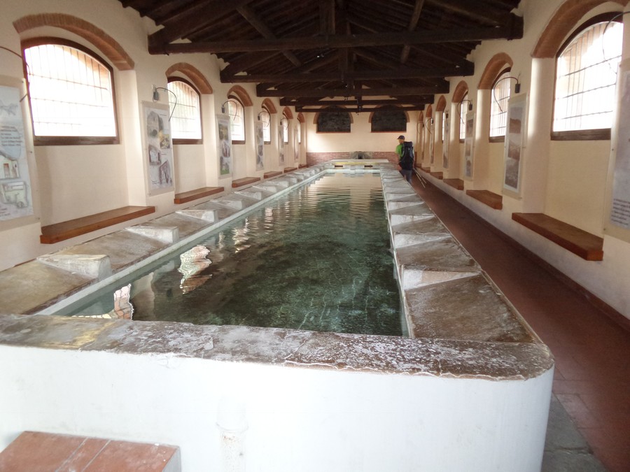
Old washhouse
Photo 2 of 32
© gb for trekking-etc.it
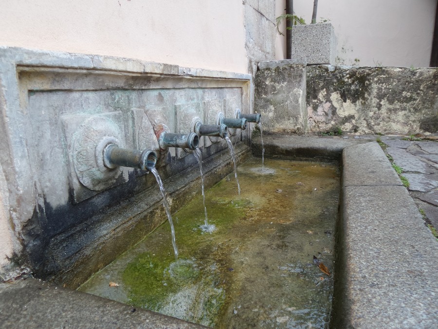
Ancient source
Photo 3 of 32
© gb for trekking-etc.it
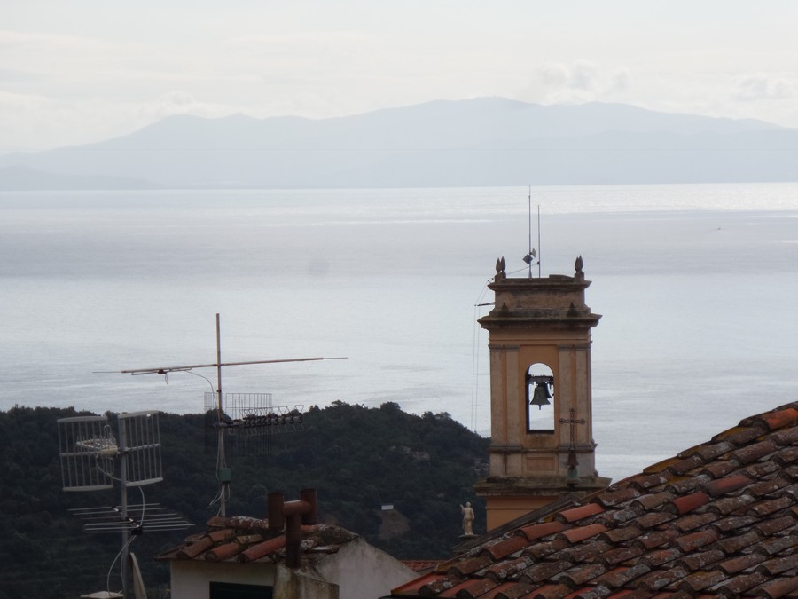
Panorama
on the roofs of Rio nell'Elba
Photo 4 of 32
© gb for trekking-etc.it
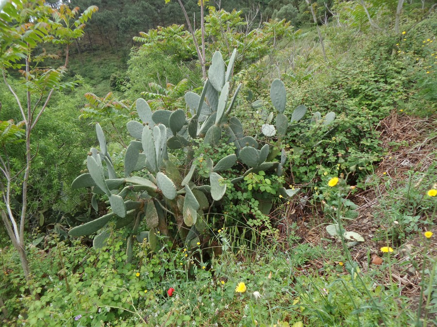
Prickly pears
Photo 5 of 32
© gb for trekking-etc.it
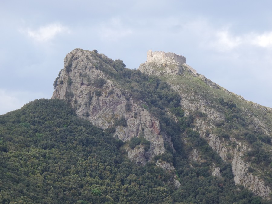
Castello del Volterraio
Photo 6 of 32
© gb for trekking-etc.it
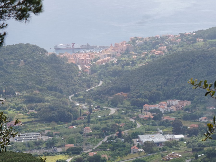
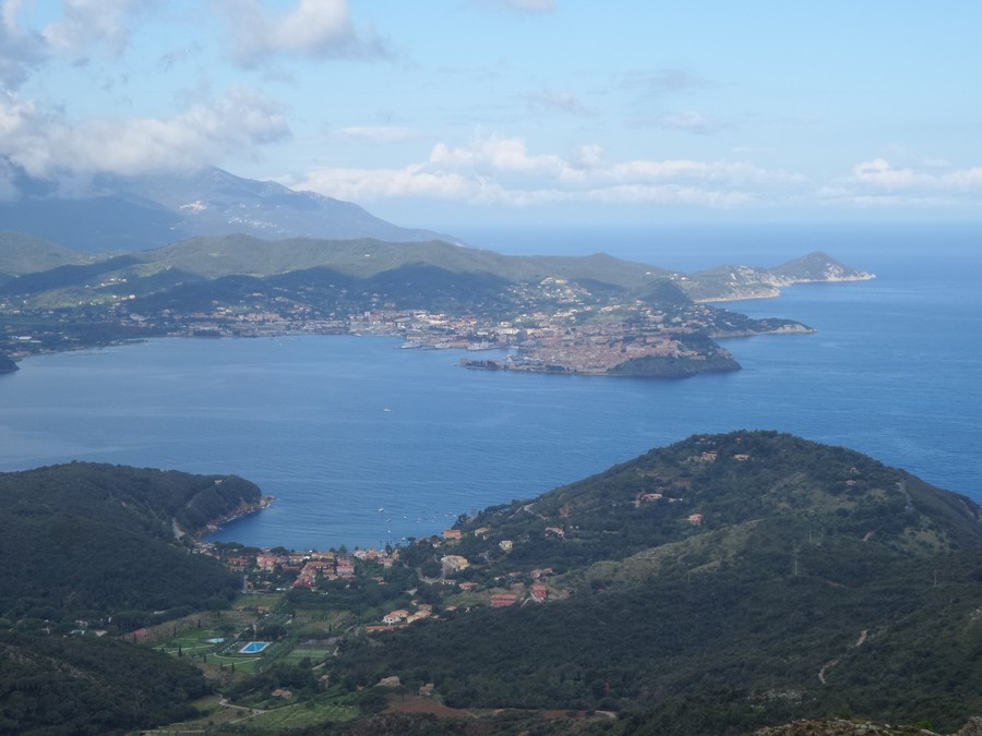
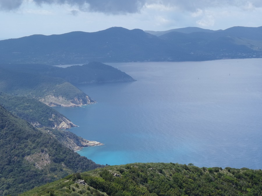
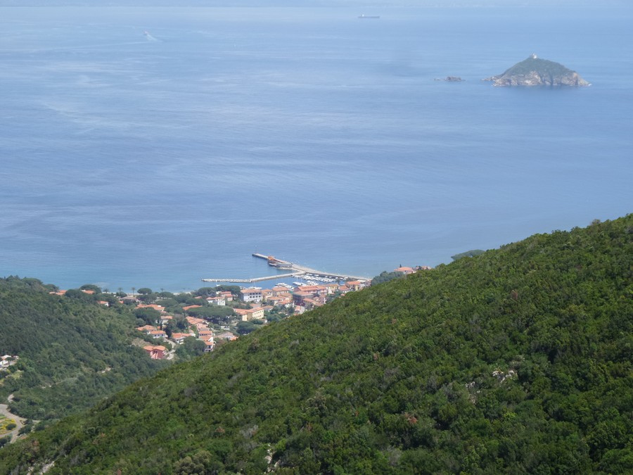
View on Rio Marina
Photo 7 of 32
© gb for trekking-etc.it
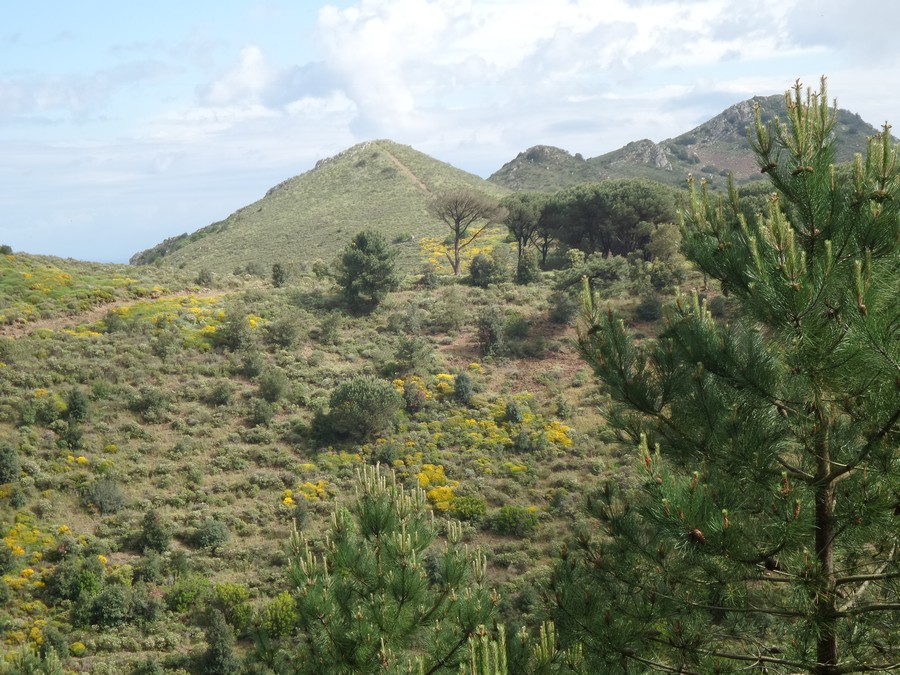
Landscape
Photo 8 of 32
© gb for trekking-etc.it
Portoferraio
Photo 9 of 32
© gb for trekking-etc.it
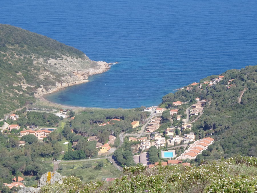
Baia di Nisporto
Photo 10 of 32
© gb for trekking-etc.it
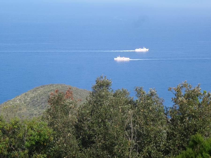
Coming and going
Photo 11 of 32
© gb for trekking-etc.it
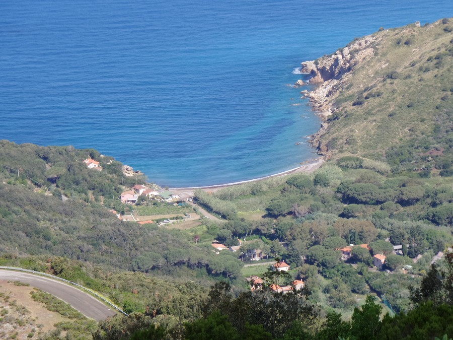
Baia di Nisportino
Photo 12 of 32
© gb for trekking-etc.it
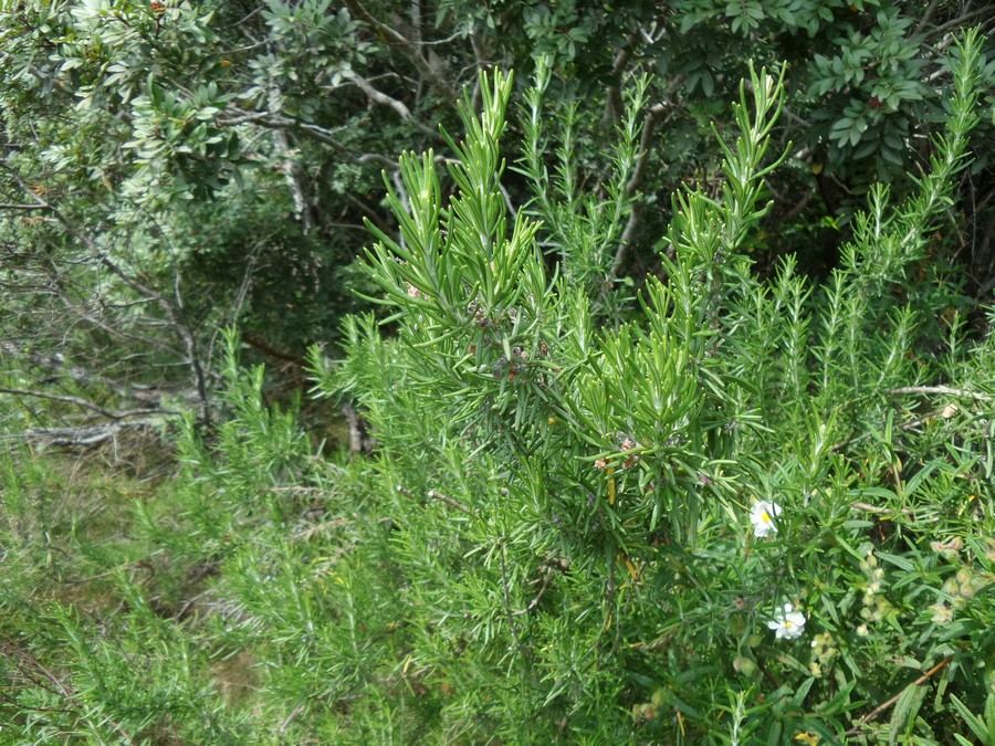
Rosemary
Photo 13 of 32
© gb for trekking-etc.it
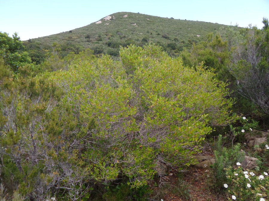
Myrtle
Photo 14 of 32
© gb for trekking-etc.it
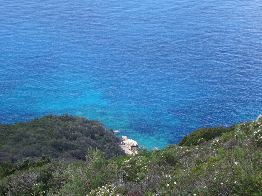
Crystal sea
Photo 15 of 32
© gb for trekking-etc.it
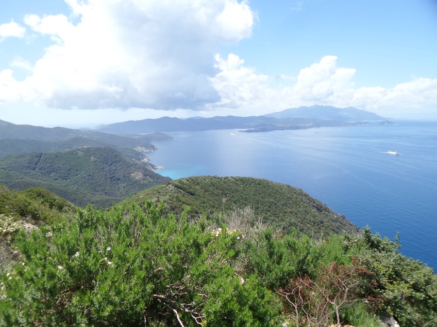
View
from Monte Grosso
Photo 16 of 32
© gb for trekking-etc.it
Monte Capanne
far away
Photo 17 of 32
© gb for trekking-etc.it
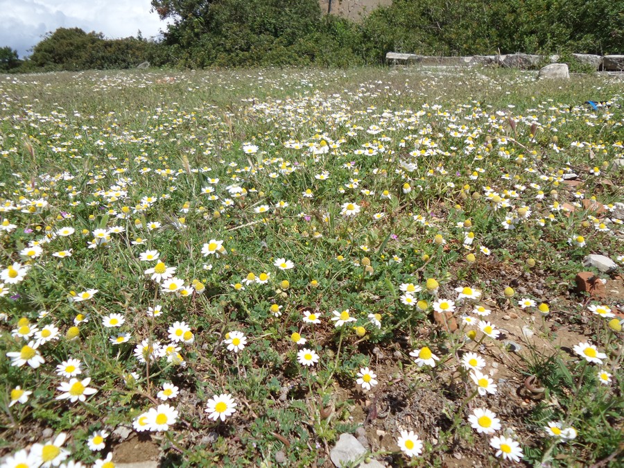
Flowering
Photo 18 of 32
© gb for trekking-etc.it
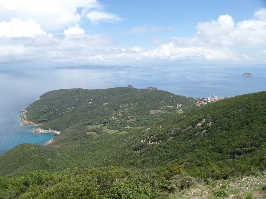
Panorama
Photo 19 of 32
© gb for trekking-etc.it
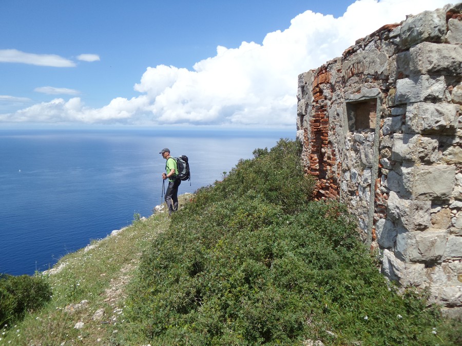
Il Semaforo
Photo 20 of 32
© gb for trekking-etc.it
Capo Vita
Photo 21 of 32
© gb for trekking-etc.it
View on Cavo
Photo 22 of 32
© gb for trekking-etc.it
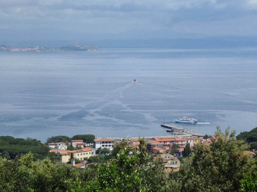
Cavo and Piombino
Photo 23 of 32
© gb for trekking-etc.it
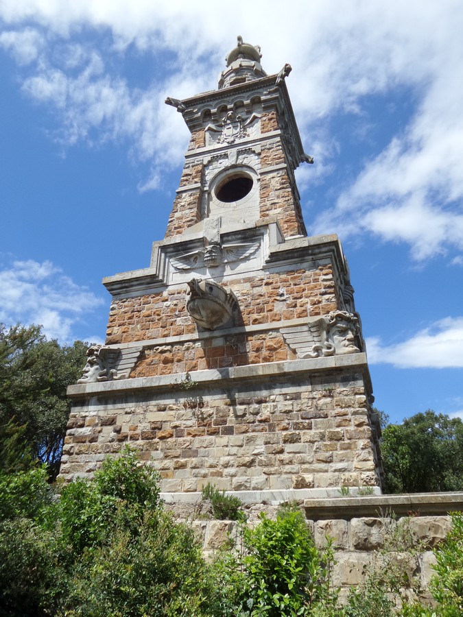
Mausoleo Tonietti
Photo 24 of 32
© gb for trekking-etc.it
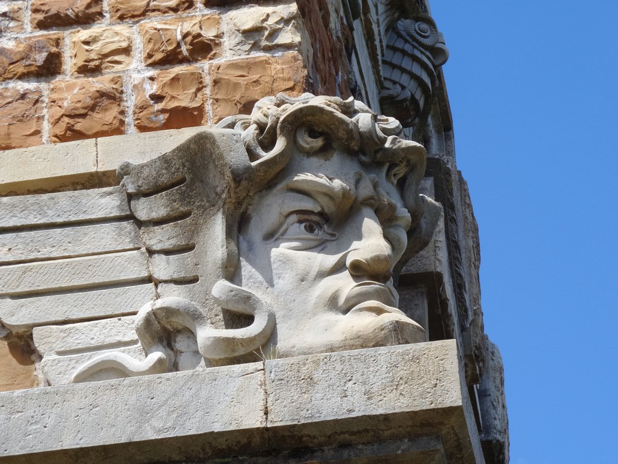
Mausoleo Tonietti
detail
Photo 25 of 32
© gb for trekking-etc.it
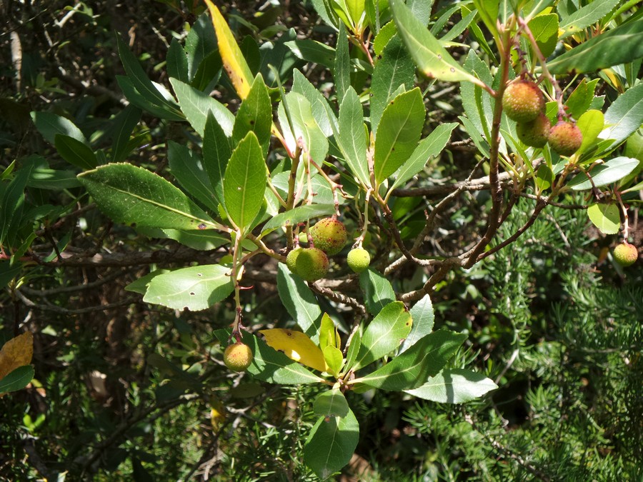
Arbutus
Photo 26 of 32
© gb for trekking-etc.it
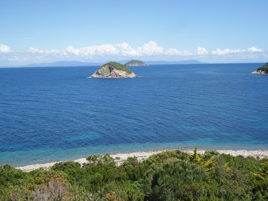
Isola dei Topi
Photo 27 of 32
© gb for trekking-etc.it
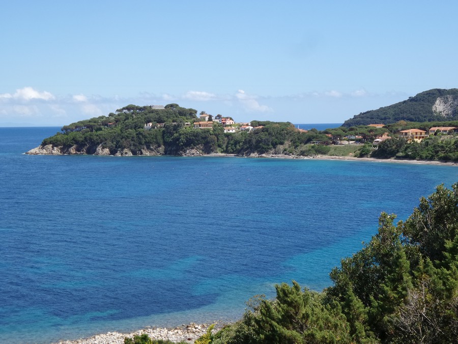
Capo Castello
Photo 28 of 32
© gb for trekking-etc.it
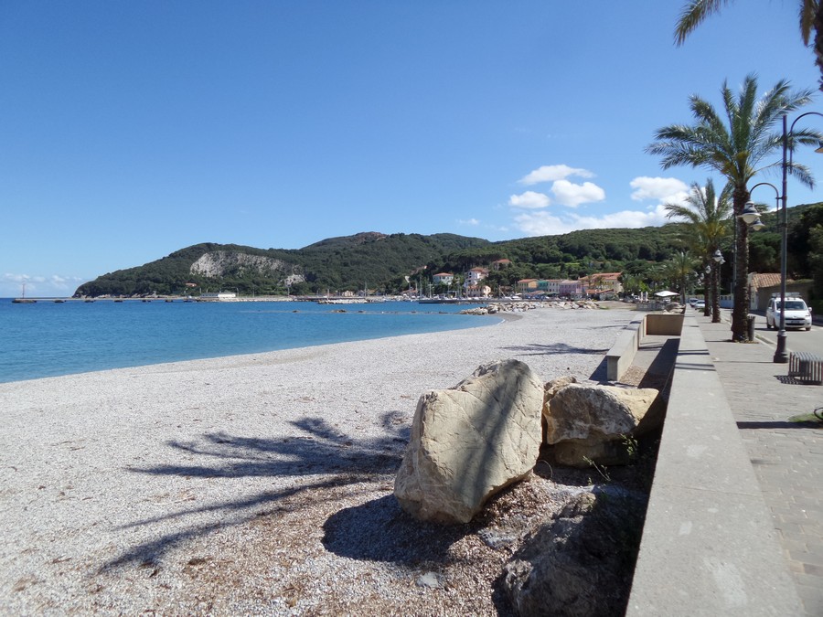
Promenade of Cavo
Photo 29 of 32
© gb for trekking-etc.it
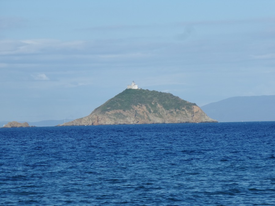
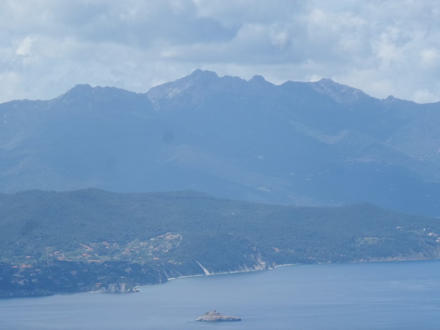
Isola Palmaiola
Photo 30 of 32
© gb for trekking-etc.it
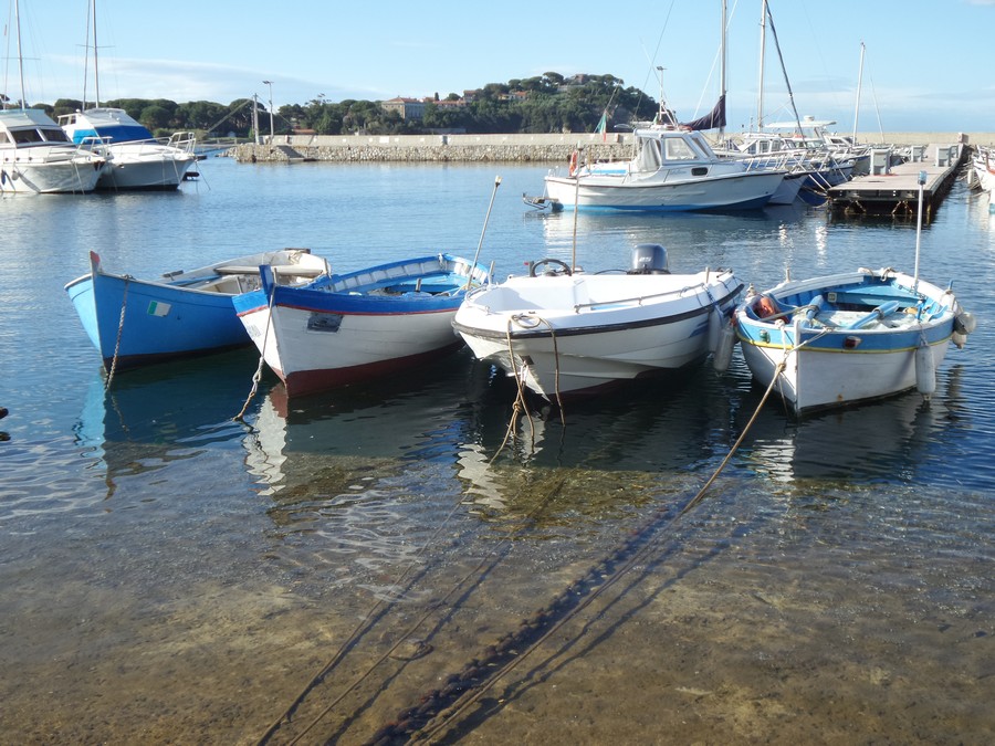
Harbor of Cavo
Photo 31 of 32
© gb for trekking-etc.it
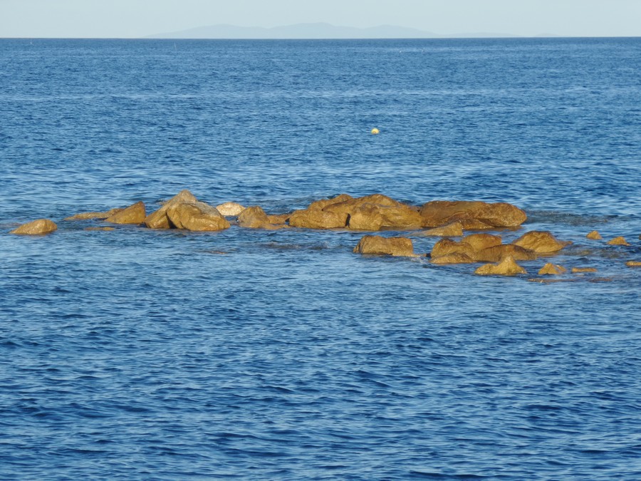
Red rocks
at sunset
Photo 32 of 32
© gb for trekking-etc.it