
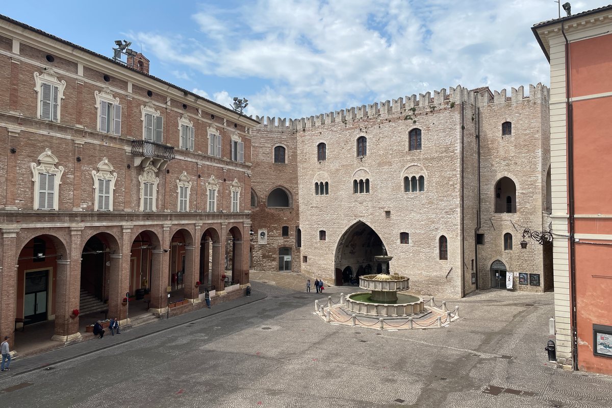
Fabriano
Town Hall Square
Photo 1 of 8
© gb for trekking-etc.it
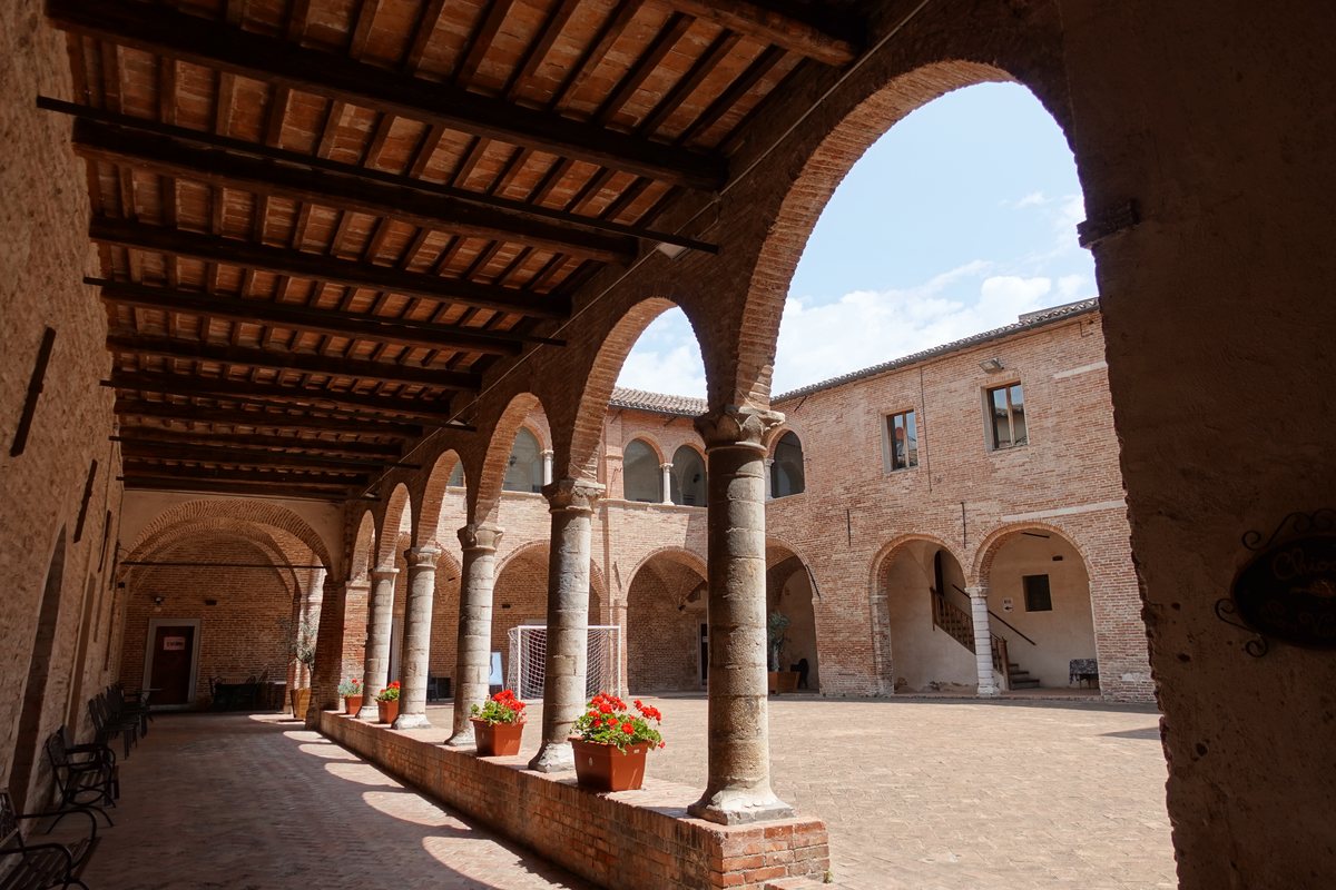
Fabriano
Cloister of the Cathedral
Photo 2 of 8
© gb for trekking-etc.it
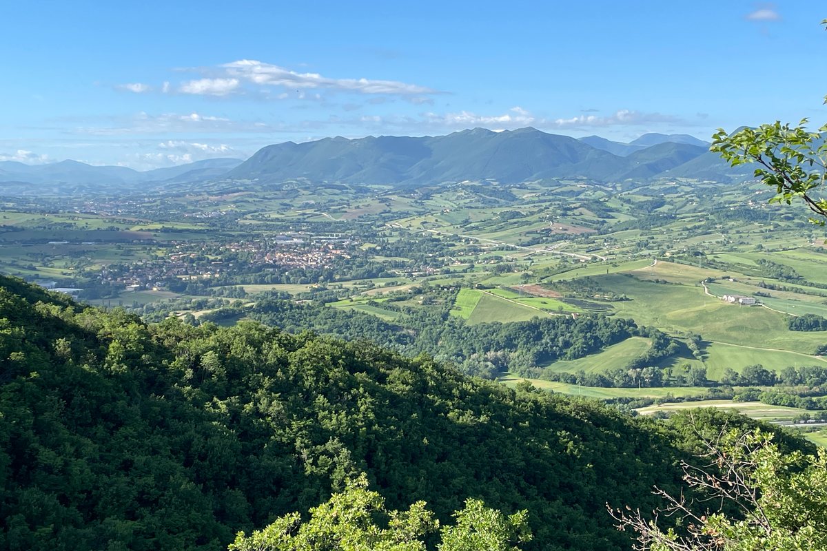
Panorama
towards Cerreto d'Esi
Photo 3 of 8
© gb for trekking-etc.it

Little church
in the Rocchetta Alta area
Photo 4 of 8
© gb for trekking-etc.it
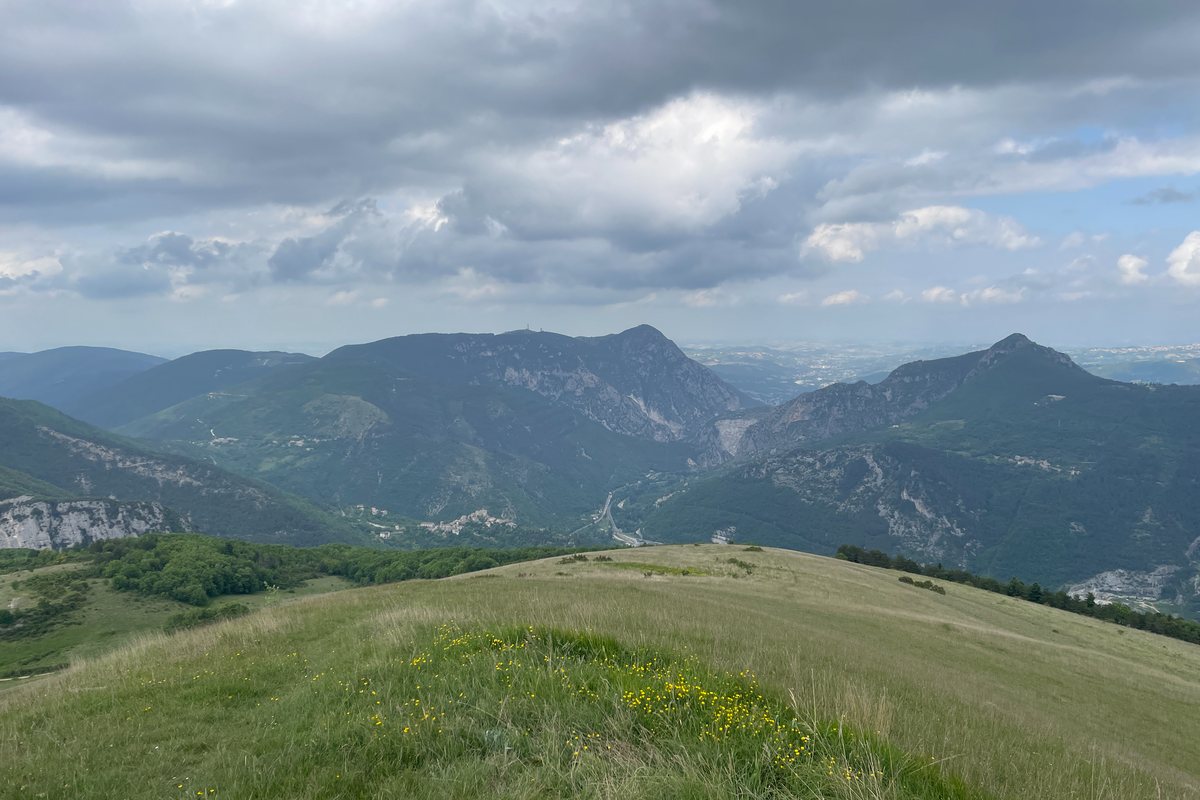
Panorama towards Pierosara
and the Gola della Rossa, from Monte Valmontagnana
Photo 5 of 8
© gb for trekking-etc.it

San Vittore Terme
Abbey of San Vittore
Photo 6 of 8
© gb for trekking-etc.it

Pierosara
Tower
Photo 7 of 8
© gb for trekking-etc.it

Pierosara
Sunrise on the Gola della Rossa
Photo 8 of 8
© gb for trekking-etc.it