FIRST STAGE
from Fabriano to Pierosara

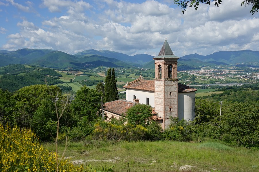
The first stage of the TraversaMarche trekking crosses a varied and charming territory, overcoming the natural obstacle constituted by the ridge of Monte Valmontagnana, which separates the Fabriano area from the Frasassi / Gola della Rossa area, passing along mountain slopes covered with verdant woods, fields, meadows and pastures.
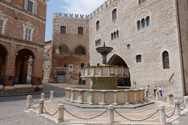
You start from the beautiful town of Fabriano, which historic center is certainly worth a visit, and arrive in the enchanting village of Pierosara, perched in a panoramic position on a small hill.
In the first half of May, the air smells of acacia, elderberry, broom and laburnum, which flowers, among many others, are abundantly present along the way.
The route is essentially easy, if you follow the suggested path.
Two variants are also described, more direct and panoramic, but more demanding (in orange on the map): hereafter, one is referred to as the Valrapara variant, and the other as the Cagliostro variant. Both follow a more direct route, which goes over the mountain ridge, rather than trying to go around it. In this way the route is shortened, but in both cases the descent towards San Vittore is often notably steep, which is why they are only suitable for expert hikers. They are not recommended in case of wet ground, and to be completely avoided in case of rain.
Towards Moscano
From Piazza del Comune in Fabriano,

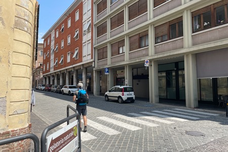
you head south-east for 160 m, at first along the square itself, and then via Corso della Repubblica.
Then you turn left,

and continue along Via Giambattista Miliani for another 160 m, reaching a crossroads where you keep right,

and continue straight for another 170 m, along Via Enrico Toti and Piazzale Giacomo Matteotti.
Then you turn left,

and walk along Via Aurelio Zonghi for 160 m.
Then you take Via Dante Alighieri on the right, heading north-east,

and follow it for 980 m,

and then turn left onto Via Bruno Buozzi:

You then travel for 320 m, including a roundabout, where you continue straight,

in order to go around the sports field area on the right, and then turn right, continuing on Via Bruno Buozzi:

You follow it for 600 m, in a north-east direction, going straight at the various crossroads,

and at the roundabout you continue straight, for another 540 m, along Via Lamberto Corsi.
Then you turn slightly left, following the road signs for Moscano:

From here you proceed along the road, following its curves, without ever deviating, for 3.2 km.
Along this stretch you cross a bridge,

you pass the crossroads for Case Lattanzi, you cross a series of two underpasses,

you enter the countryside north-east of Fabriano,

you pass the crossroads for the La Castellaia Resort,

admiring the beautiful hilly landscapes,

until you reach a crossroads,

where you keep right, following the road signs for Moscano.
You follow the road for another 620 m, thus reaching a sharp bend, where you continue straight on, leaving the road and taking path 147a:

Alternatively, if you want to take the Valrapara variant or the Cagliostro variant, you follow the bend on the left, continuing along the road.
Towards Case Meloni
You continue on an easy path for 460 m,

but then you leave the most obvious route to turn right, taking a path that is initially not very visible:

You proceed for 1 km, keeping right at an intermediate crossroads, walking through a thick forest,

until you reach and easily cross a stream, the Fosso Satrano:

You continue on path 147a, on a well-defined track, in a southerly direction, for 450 m,

then you find a crossroads, where you turn hard left:

You walk in a north-northeast direction for 360 m, then with a double right turn you go south again:

You continue following the path, with its curves, for another 860 m,

up to a fork, where you keep left:

About 200 m further on you come to a small asphalt road, at a sharp bend, and take the right branch, slightly downhill:

From there you continue for 1.7 km on the road, mainly downhill,

with beautiful views of Cerreto d'Esi:

You then reach a crossroads, where you turn hard left,

after which you continue for 1.2 km, on nearly flat terrain. You then arrive at a bend to the left, where you follow the dirt road, ignoring the small road that branches off to the left:

You continue for another 480 m, thus entering the small hamlet of Case Meloni (keep right at the fork preceding it):

Towards San Cristoforo
About 250 m further on, at a crossroads, you turn right,

and continue for 670 m, on a wide path,

but then you turn right, downhill (stone cairn):

Shortly after the entrance, there is an indication:

You proceed slightly downhill, for 1.1 km, while the track, always well visible, is at times thickly surrounded by vegetation:

Thus you arrive in the hamlet of San Cristoforo, uninhabited:

Towards San Vittore delle Chiuse
You continue along the path, which now is wide again, turning hard left 80 m after the town, actually taking path 157:

You proceed for approximately 2.5 km; the path initially has four hairpin bends, then heads north,

until you reach the hamlet of Valrapara, or Vallerapara (here converges the Valrapara variant):

You continue straight on for another 1 km, now on a paved road,

until it merges into Via San Vittore, which you take on the left:

600 m further on, you come across the Gola di Frasassi road (where the Cagliostro variant merges a little further on),

you cross it, and go down the opposite side via a staircase:

In 180 m, after crossing the car park and skirting the Hotel delle Terme, you reach the center of San Vittore, where the abbey of the same name is located, which can be visited:

Towards Pierosara
You turn right with respect to the direction of arrival, crossing the Medieval Tower

and the bridge over the Sentino River,

and then turn left:

About 280 m from San Vittore, at a crossroads, you keep right. The path begins to climb sharply, presenting some sharp bends,

and after 900 m, at a crossroads, yo turn right following the signs for Pierosara; from here on you walk almost on level ground, and you begin to see the village;

you can reach it after another good 500 m, near the Da Maria restaurant:

You take either the left or right branch, and go up along the enchanting village,

and after another 280 m, following the signs, you reach the B&B Bivacco Frasassi,

where you will find the excellent welcome of Lorenzo, its owner.
Valrapara variant
The initial stretch of this variant is in common with the Cagliostro variant.
About 330 m after the sharp bend that precedes Moscano, you arrive at the houses of the hamlet, and turn hard right:

About 40 m later you turn left, and another 40 m later you arrive at the center of the town, where the church is located:

You turn right uphill, skirting the church, and 60 m later right again, then follow the road with its two sharp bends for another 860 m,

with beautiful views towards Fabriano,

until you reach the hamlet of Regiano,

where you turn left, taking path 147, uphill.
You go up, on a wide and steep path,

and after 860 m, at a crossroads, you go straight on,

after another 160 m you go straight ahead and immediately afterwards turn right,

and after another 260 m you continue straight ahead:

You proceed for another 750 m, thus reaching the saddle between Monte Rimosse, which is on the right, and Monte Valmontagnana, on the left:

From there it is possible to make a detour of 480 m, and 90 m of altitude difference, to Monte Valmontagnana, taking the track on grassy terrain, in a full northerly direction, uphill:


The panorama is very broad, and includes, towards the north-north-east, the town of Pierosara and the Gola della Rossa:

Then you retrace your steps, to the saddle.
In a north-northeast direction, from the saddle, you take a slightly downhill track that descends obliquely for 240 m until it joins a dirt road, path 146a, in the Fontefredda area:

Taking it on the left, you continue along the Cagliostro variant.
Instead, taking it on the right, you continue towards the Valrapara variant:

After just over 1 km you deviate from the dirt road to take a small path on the left, downhill:

Less than 400 m further on, you turn hard left,

and 600 m later you follow the sharp bend to the right:

From there you go down for almost 1.6 km; the slope is challenging, on rather smooth terrain,

but then begins a stretch with a stony surface, more manageable,

and after having passed the narrow passage of the Forra di Valle Stretta,

the path becomes gentler,

and finally arrives in Valrapara, where you turn left and continue on the standard route:

Cagliostro variant
From Moscano up to the saddle on the ridge, you proceed as indicated for the Valrapara Variant, but in Fontefredda, instead of turning right, you take a left, towards Casale Romei; after just over 1 km you reach a crossroads, little before the farmhouse:

You turn right, following the trail downhill along the meadow, to the edge of the woods,

then, 390 m from the previous crossroads, there is another sign for San Vittore, path 146:

The slope becomes increasingly steeper,

a stretch of a couple of meters is equipped with a piece of rope,

some points are slightly exposed,

but then the slope drops and the path becomes easy again:

Just over 1.5 km after the last crossroads, you reach the road, near San Vittore Terme, and here you join the standard route.
■ gb 2024-05-15