FIFTH STAGE
from Santa Maria Nuova to Offagna

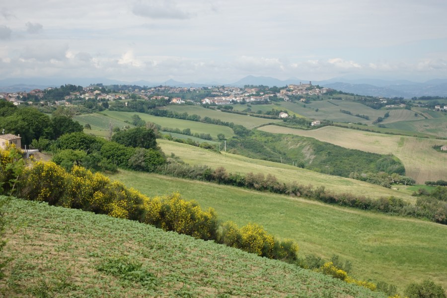
Another beautiful stage of TraversaMarche, through the rounded green hills of Vallesina, with a mix of roads and lanes, asphalted and dirt.
You start from Santa Maria Nuova, cross the Monti hamlet, pass a short distance from the Rustico hamlet, and reach Polverigi, a small and charming village. You then cross the depression that separates Polverigi from Offagna, to reach the destination of the journey, a town renowned for its imposing and splendid castle.
Towards Monti
From Piazza Mazzini in Santa Maria Nuova,

you exit towards north-east,

then descend for less than 100 m to a curve, which you cuts across along the pavement,

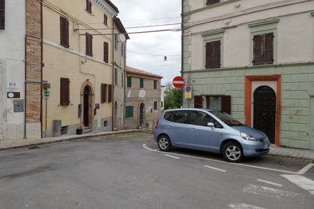
and beyond which, going down a staircase, you take Via Primo Maggio:

After approximately 200 m, you come to Viale della Repubblica, and take it to the left, heading east, for approximately 400 m:

At the last houses of the town, you turn slightly left, instead of going right into Via Risorgimento, and continue along Via della Repubblica for 600 m:


You can ejoy beautiful hilly views on the left:

Meanwhile, Via della Repubblica continues as Via Querciabella.
It then intersects Via Moreschi, which you take on the left for 40 m, then turn slightly left onto Via Fratelli Rosselli, SP 4, in a north-east direction, for 230 m,

then the road bends eastwards continuing as Via Monti, still SP 4, which has a sort of cycle-pedestrian path on its right; you follow it for just under 1.2 km,

until you reach the town of Monti:

Towards Polverigi
You continue straight along the SP 4, with little or no traffic, for 1.6 km, following its curves

and admiring the wide views:

In the meantime the road continues as Via Rustico,

and still offers green views:

At a large bend to the right, which leads Via Rustico to turn towards the east, you leave it, turning left onto Via Traversa,

and 80 m further on left again, along a country road:

The road, no longer asphalted, descends with a gentle slope,

between wide fields:

After about 1000 m, you take a sharp right,

continuing among the green fields and some tree-lined lines, for just under 1.7 km:


At a crossroads you continue straight for another 1.3 km,

still along the countryside:


In the meantime, Polverigi comes into sight;

you continue along Via Nevaia,

until you reach Via Baiana.
You take the left branch of the latter,

traveling along it for 500 m towards east-north-east,

until you reach Via dell'Industria, Sp 2, which you take to the right:

After 100 m, near a large roundabout, you use a pedestrian path on the left to avoid it,

and about 120 m further on, you continue slightly uphill along Via Brodolini:

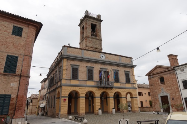
You follow it for 440 m, then continue along Via Matteotti, and Via Vittorio Emanuele II, for 300 m, until you reach the center of Polverigi, in Piazza Umberto I, with the Palazzo del Comune, and a beautiful fountain:

Towards Offagna
From Piazza Umberto I, you continue for 600 m eastwards along Via Marconi, leaving the town, heading east, passing the Tower of Piazza Ragnini,

and the Church of the SS Sacrament:

You reach Via Circonvallazione, following it for 160 m, then a large roundabout, which you go around to the right, continuing straight eastwards into Via del Conero (200 m including the movement to find the pedestrian crossing):

Then you leave Via Conero, turning right onto Via della Perna, which you follow in a south-east direction for just over 1.2 km:

In the meantime, Offagna can already be seen;

while Via della Perna,

further on, continues along Via Polverigi:

When, on the right, you pass a couple of houses, and Polverigi is now behind you,

the asphalt section of the street bends to the right and ends at the gate of the last house; then, to the left of the house, you take a small farm road (still Via Polverigi according to the toponymy), initially downhill,

and continue on that, for almost 2.4 km,

along the wide depression that separates Polverigi from Offagna.
After the first 300 m, a small bridge allows you to cross a canal:

Shortly after, the road, with a curve, bends almost towards the south; a little further on, at the crossroads with another road, you turn left, thus heading east again, then go up the valley on the Offagna side:


The panorama becomes wider and wider, while you rise:

On the outskirts of Offagna, Via Polverigi meets the SP 6, which you take to the right, following it for 120 m:

Then you turn slightly right again, into Via dei Bastioni, in the direction of the historic centre,

uphill, for 130 m:

Thus you reach the Church of Santa Lucia,

and there you turn right into Via dell'Arengo, going up for 130 m,

and then turn right, going around the Parish Church of San Tommaso,

until you reach, about fifty meters further on, Piazza del Comune, at the base of the south-eastern walls of the Rocca di Offagna.
A little further up is Piazza del Maniero, with the wonderful castle,

and an excellent panoramic point in the direction of Monte Conero:

