![]()

MONTE CUGULET
from Sodani - Sampeyre
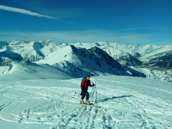
A skialp tour in the enchanting Valley of Sant'Anna, lateral valley of the Val Varaita, which leads to the ridge that forms the watershed between the Val Varaita and Val Maira: Mount Cugulet is a summit on this ridge, and lets you enjoy great views.
It is a trip evaluated BS (good skier) due to a steep slope in the intermediate part of the route, that for the rest could be judged MS (average skier).
Access
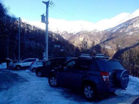
You reach Castigliole Saluzzo (CN), and from there follow the signs to the main road of the Col Agnel and Varaita that you take to reach Sampeyre. In Sampeyre, you take the junction for Elva: this is the road that leads to the ski resort and is kept clean until the village of Sodani, where you park.
Ascent
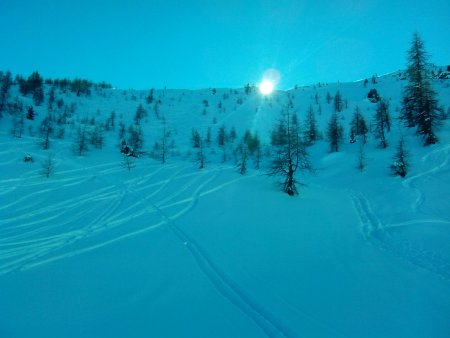
From Sodani you follow the path that leads to Meira Garneri
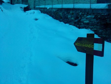
(Meira means house): it is a refuge that is at the end of the ski lifts. The initial section of the path goes past a few villages
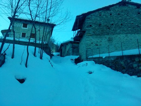
up to the village of Sant'Anna, sometimes passing by the ski slopes,

that during the weekdays are closed. Following the numerous signposts indicating the Garneri you can easily avoid intercepting ski lifts and slopes.
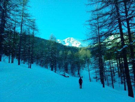
The mountain before us is not our goal, but the Monte Nebin that remains to the right, during the ascent, of Monte Cugulet

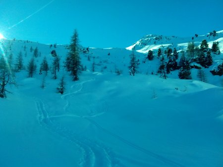
At the end of the ski slopes, you go up along the valley to the left, a little more steep.

At the height of the arrival of the chairlift, therefore, you go to the left along a narrow road slightly downhill for about twenty meters, and before a bridge
you turn right to go up the evident north valley
that narrows in its upper section, and widens again (Pian Monbel) at the top of the way up.
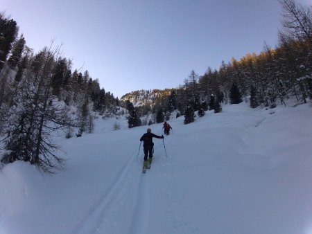
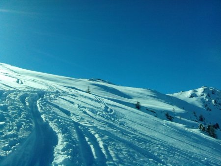
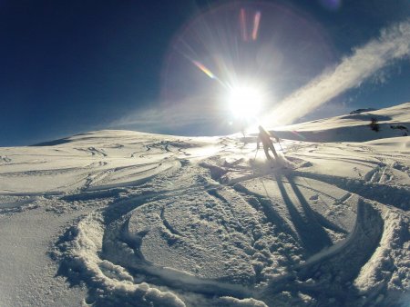
Now the valley opens up and tends to the right, delimited by Cima Nebin, while our goal can be reached by climbing the slopes on the left leading to the dorsal Varaita / Maira, lapped by the sun in the picture below
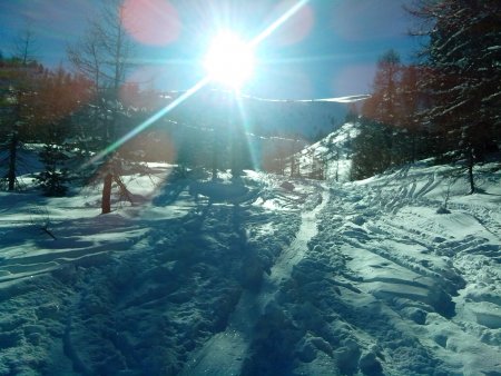
left again, you will soon reach the summit.
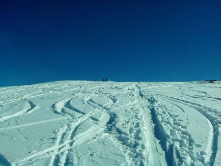
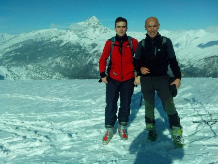
The goal, a relatively flat summit area, has a big cairn and allows a very good view of the French Alps, Monviso and Maritimes.
Descent
The way down is along the path forward
A stop at Meira Garneri, managed by young entusiasts, is a must
 Garneri")
■ fb, 2014-01-22


