View on the lake
along the approach path
Photo 1 of 27
© gb for trekking-etc.it
Caminetto Pagani
Photo 2 of 27
© gb for trekking-etc.it
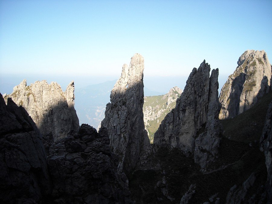
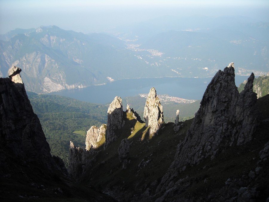
Pinnacles in the morning
Photo 3 of 27
© gb for trekking-etc.it
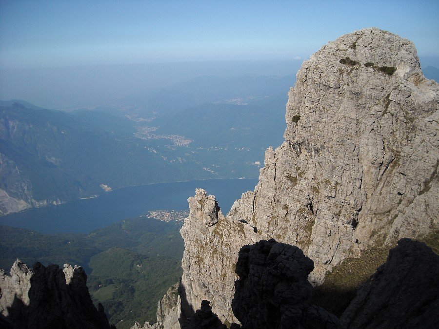
Pinnacles and lake
Photo 4 of 27
© gb for trekking-etc.it
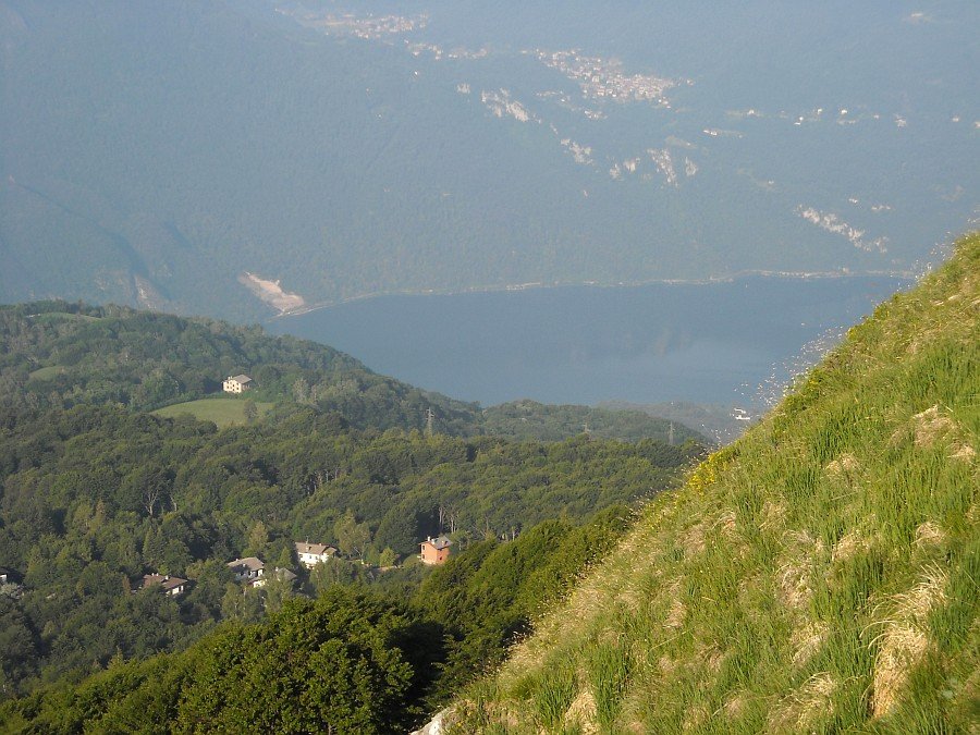
View on the lake
from the route starting point
Photo 5 of 27
© gb for trekking-etc.it

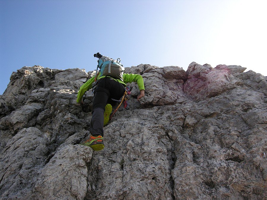
Starting point
and initial length
Photo 6 of 27
© gb for trekking-etc.it
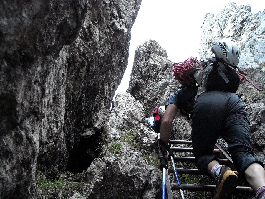
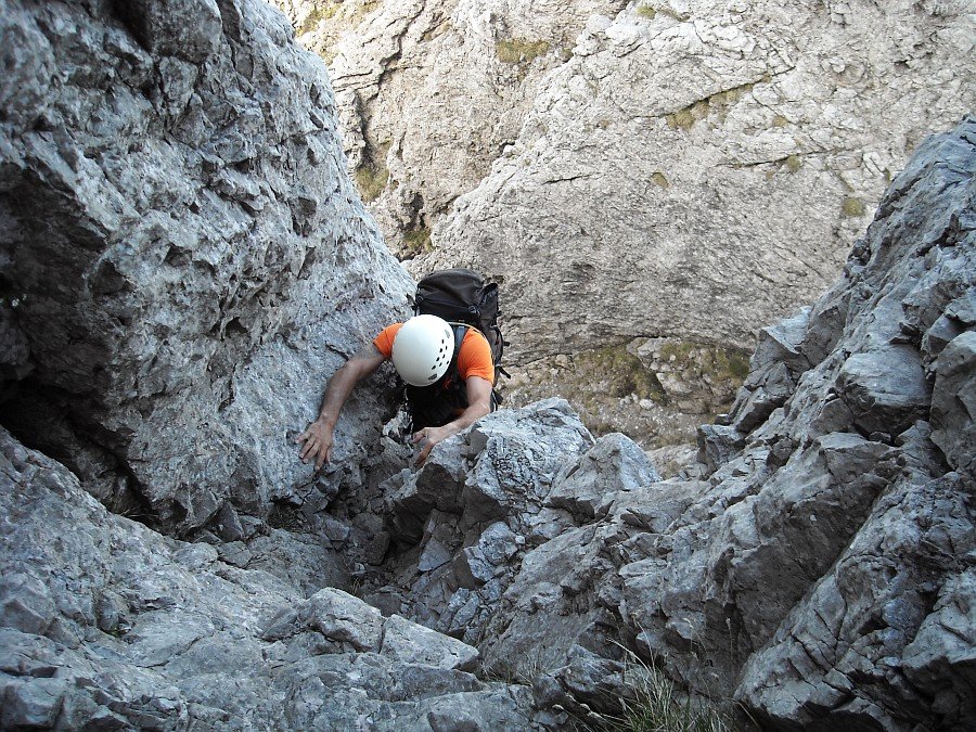
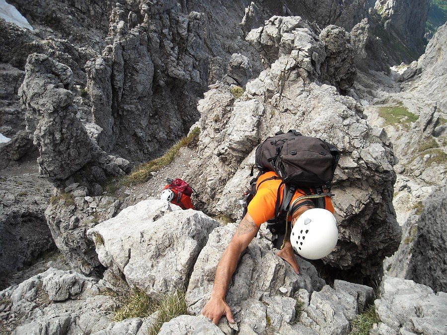
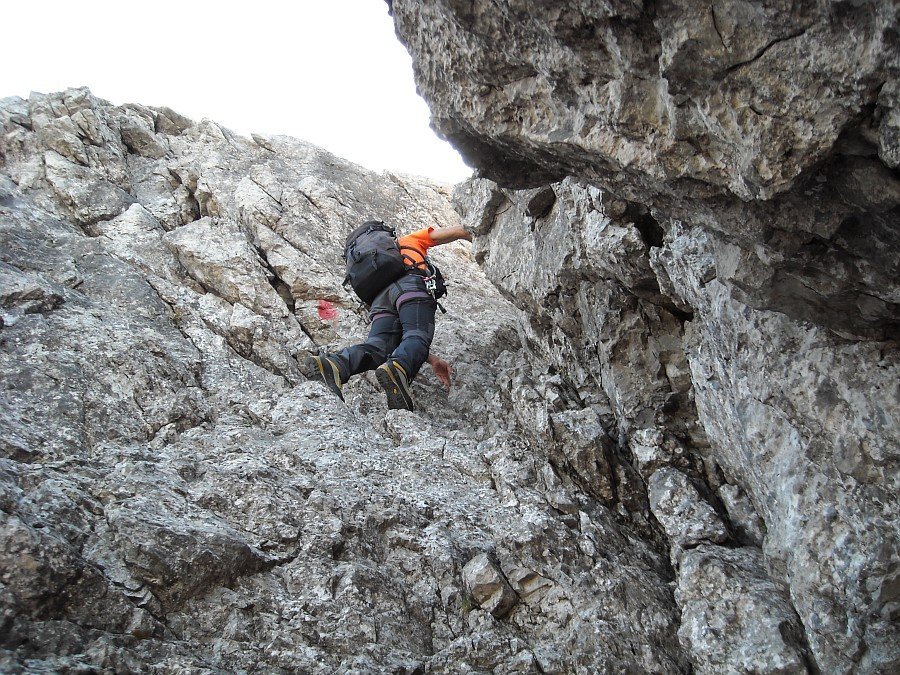
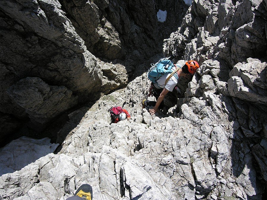
After the key step
Photo 7 of 27
© gb for trekking-etc.it
Climbing up the Dorn tower
Photo 8 of 27
© gb for trekking-etc.it
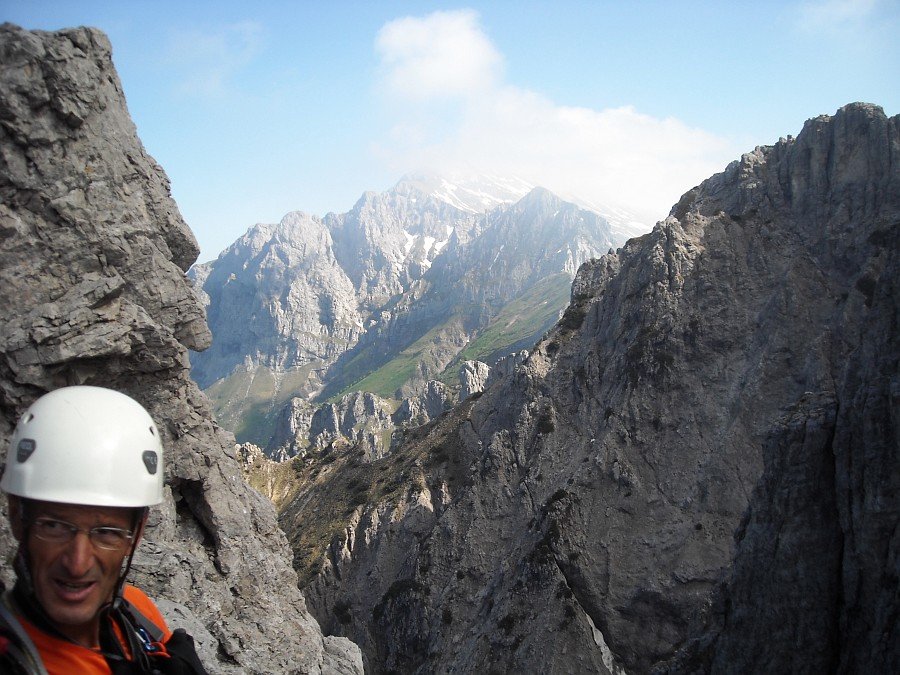
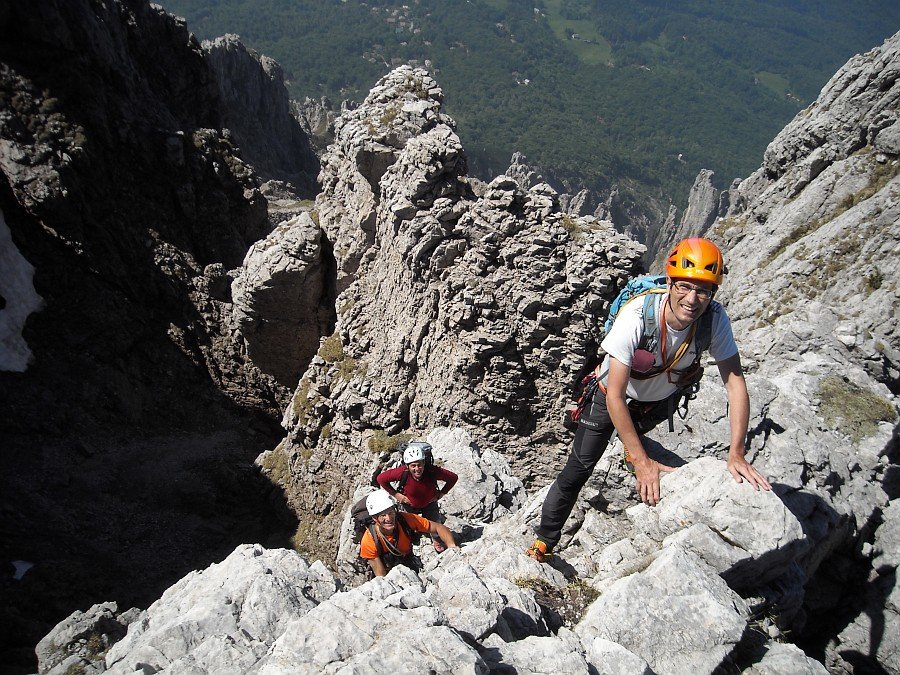
View on the Grignone
Photo 9 of 27
© gb for trekking-etc.it
Climbing down from Dorn tower
Photo 10 of 27
© gb for trekking-etc.it
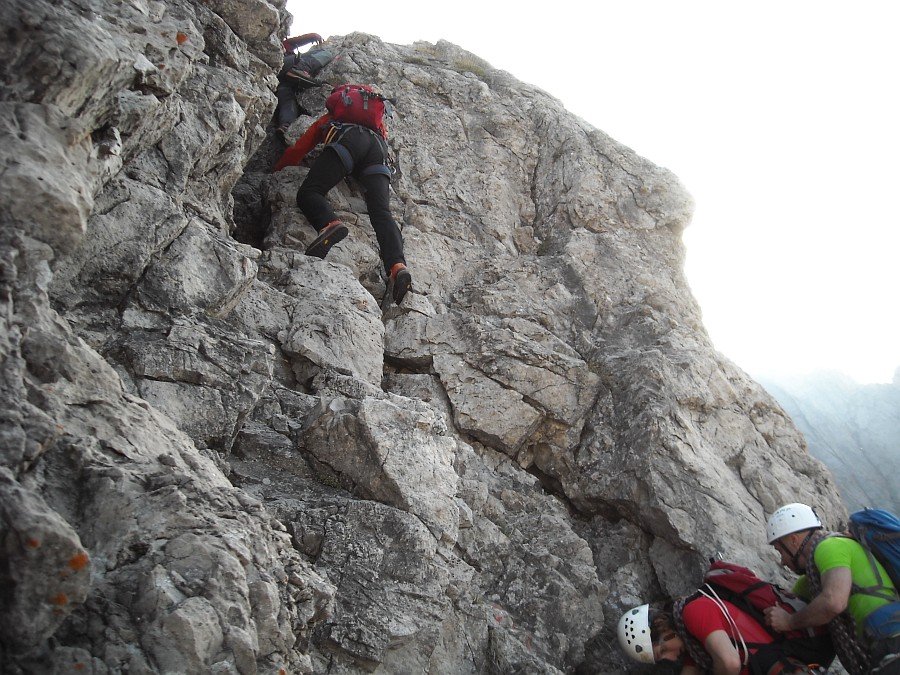
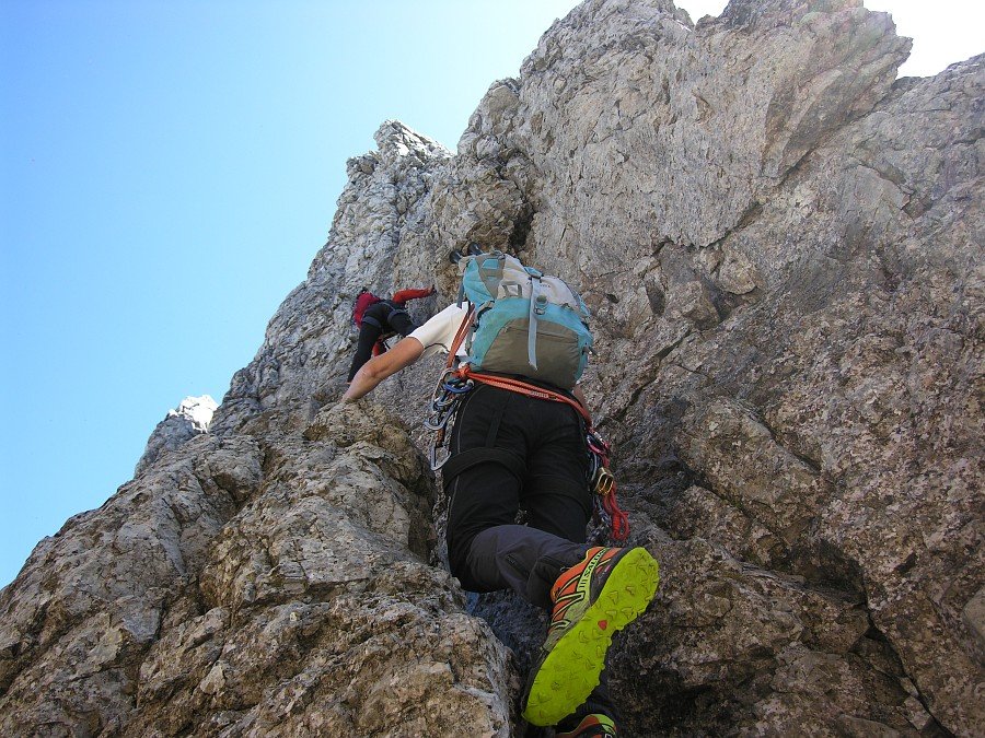
Climbing up the Swiss tower
Photo 11 of 27
© gb for trekking-etc.it
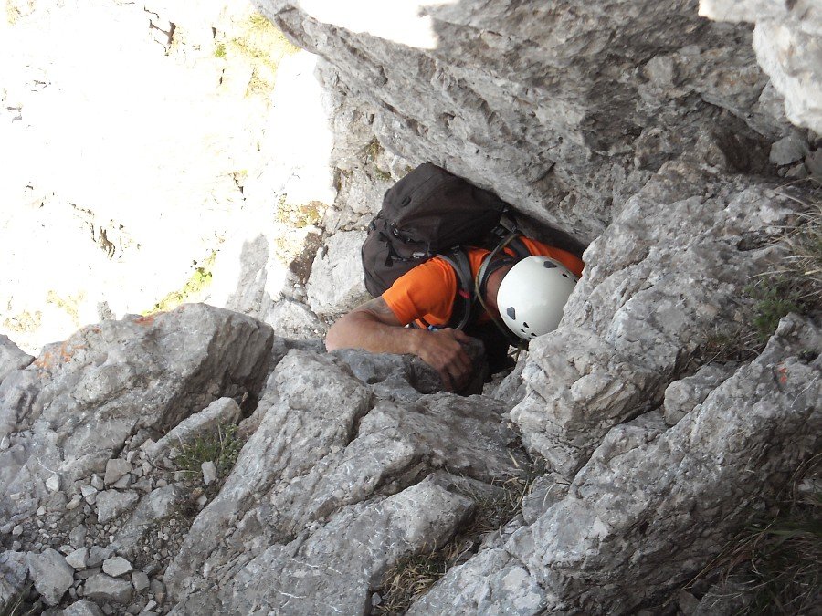
Narrow chimney
Photo 12 of 27
© gb for trekking-etc.it
Gully on the mid tower
Photo 13 of 27
© gb for trekking-etc.it
Canalone della Lingua
Photo 14 of 27
© gb for trekking-etc.it
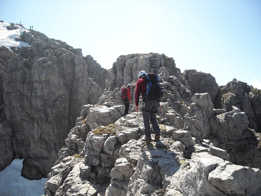
On the ridge again
Photo 15 of 27
© gb for trekking-etc.it
The Bastionata
Photo 16 of 27
© gb for trekking-etc.it

Window
Photo 17 of 27
© gb for trekking-etc.it
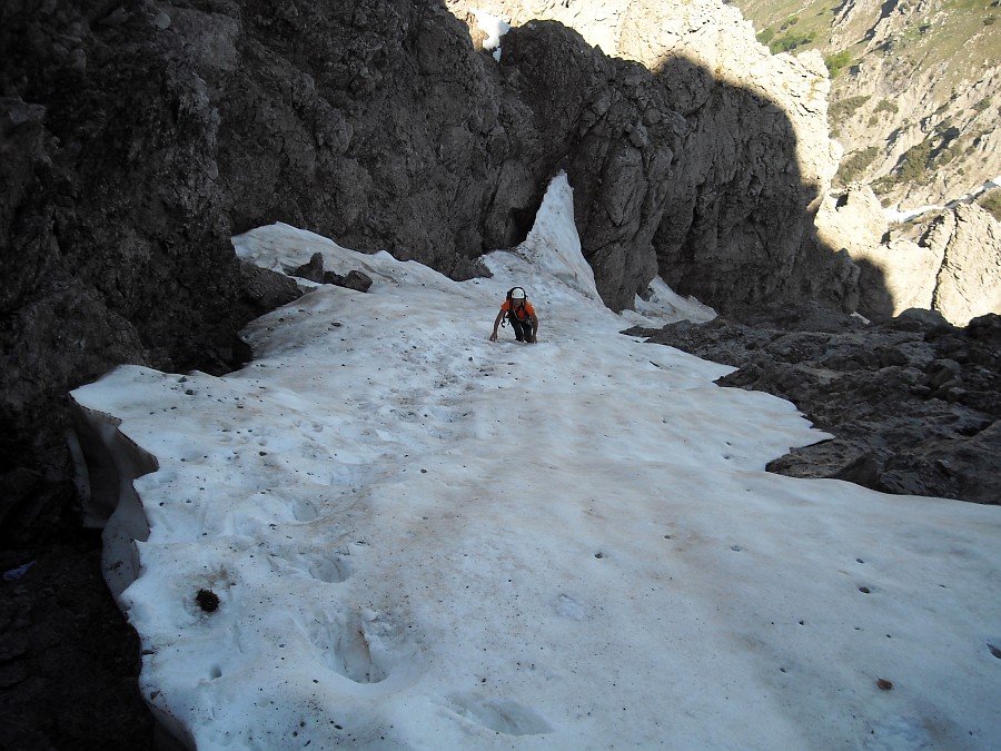
Climbing down to the Ghiacciaia
Photo 18 of 27
© gb for trekking-etc.it
Climbing up the other side
Photo 19 of 27
© gb for trekking-etc.it
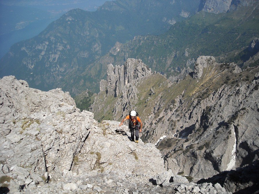
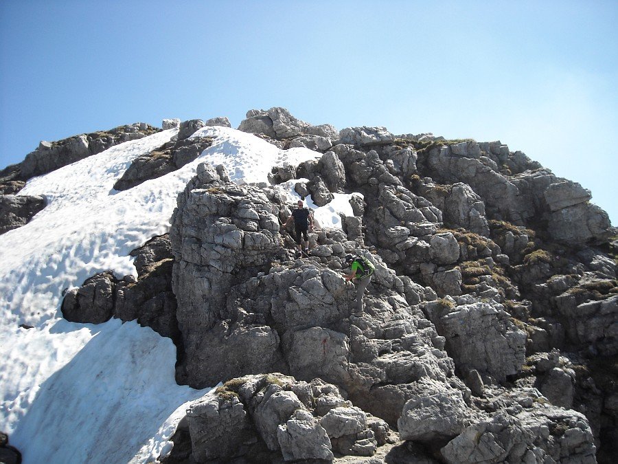
Climbing up towards the summit
Photo 20 of 27
© gb for trekking-etc.it
Last ridge section
Photo 21 of 27
© gb for trekking-etc.it

Summit cross
Photo 22 of 27
© gb for trekking-etc.it

Bivouac Ferrario
Photo 23 of 27
© gb for trekking-etc.it

On top
Photo 24 of 27
© gb for trekking-etc.it
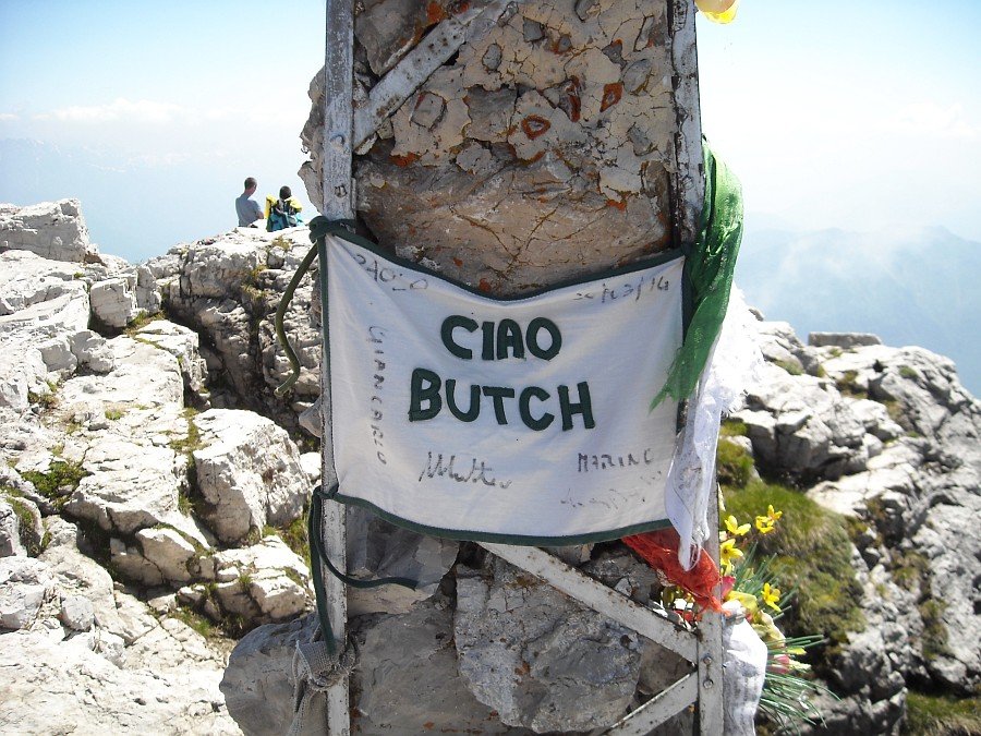
Summit cross
a farewell to Marco "Butch" Anghileri
Photo 25 of 27
© gb for trekking-etc.it
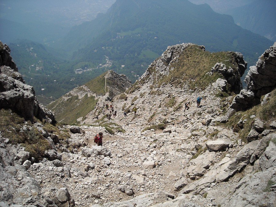
Return
along the Cermenati ridge
Photo 26 of 27
© gb for trekking-etc.it
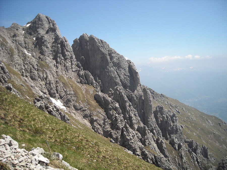
Magnaghi towers
and the Sigaro Dones
Photo 27 of 27
© gb for trekking-etc.it