
PIZ CROCE
from San Tomaso Agordino

Beautiful walk in a picturesque setting at low altitudes but with great views. It is a tour of 3-4 hours all around the mountain, with the possibility to reach the summit.
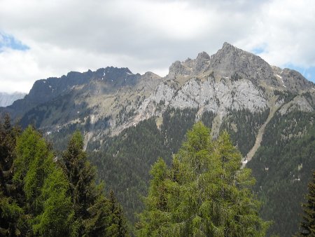
The view stretches all around, including in the Biois Valley, the Val Cordevole, and various groups and summits, including the Civetta, the Pale di San Lucano, the Pale di San Martino, the Marmolada.
Access
From Agordo, or from Avoscan in Cordevole, you drive up to San Tomaso Agordino, to reach the hamlet of Celat. There is a large car park in the square next to the church.
Route
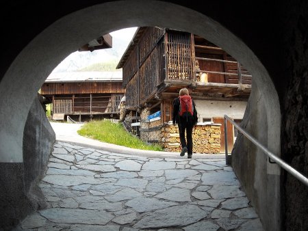
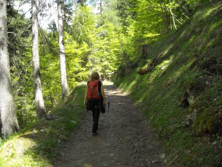
You start walking to the southwest, passing to the left of the headquarters of the Pro-Loco, going up through the village, following the frequent signs. You cross a porch
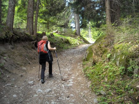
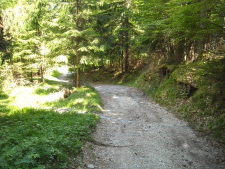
and then you continue to walk uphill, passing the last meadows that surround the town, and entering the woods on a steep path:
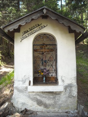
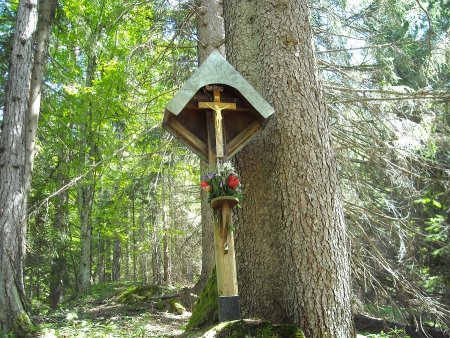
You pass a capital, at a location called Il Cristo:
Then you reach a fork, where you turn sharp left for Le Buse:

Once at Le Buse, where there is another fork, go straight towards Zervenesch.
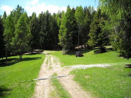
You will first reach a green clearing
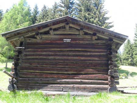
then location Zervenesch, with a second clearing and a hut:
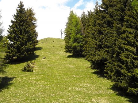
If you want to climb to the top (about 160 m in altitude), you turn to the path that goes to the right, which soon bends to the left. You soon reach a hut, where you turn right and after about 50 meters turn left again, going up along a barely visible trail through the forest, until you come out on a steep meadow, which leads to the summit cross:
From the top, you can enjoy a 360-degree panorama that includes the Civetta and Mount Pelsa, the Pale di San Lucano, the Cime Pape, the Biois Valley with Canale d'Agordo, the northern section of the Pale di San Martino, the Marmolada and its various subgroups, including the Cime di Pezza and Piz Zorlet:
Then you go back to Zervenesch, along the same trail.
Return
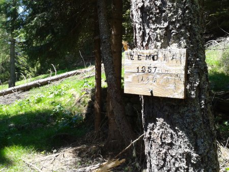
You can go back along the way forward, but if you want to complete the loop, you continue in the original direction. In this way, following a path that goes clockwise around the mountain, you first reach and exceed location Zemoia:
Then a couple of forks where you go straight, and a crucifix
where the trail bends more to the right, in an easterly direction, along the northern mountainside:
You Ignore all the intermediate junctions, until you eventually reach the fork upstream of the capital, where you can find the path forward, which you follow downhill:
This way you will get back to the starting point.
■ gb 2014-05-25