
Brantenbach
Photo 1 of 20
© gb for trekking-etc.it
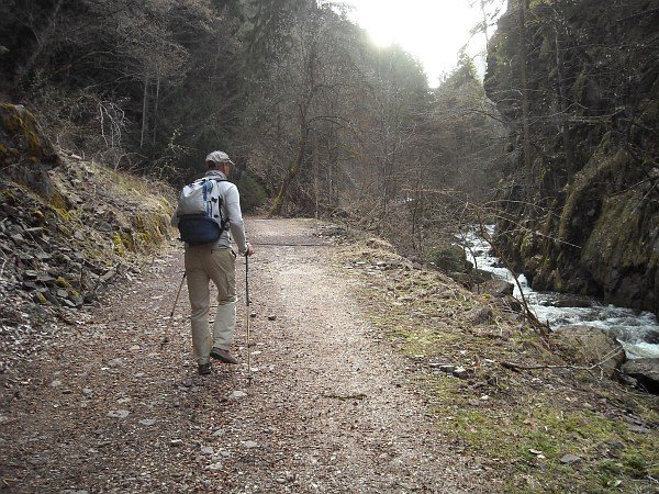
Going up
along the Brantental
Photo 2 of 20
© gb for trekking-etc.it
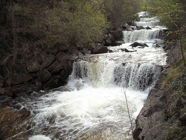
Waterfall
Photo 3 of 20
© gb for trekking-etc.it
Going up
towards Flashthaler
Photo 4 of 20
© gb for trekking-etc.it
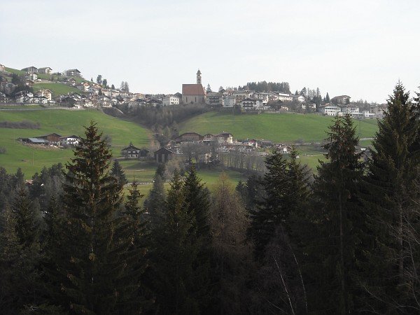
View
on Deutschnofen / Nova Ponente
Photo 5 of 20
© gb for trekking-etc.it
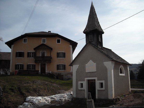
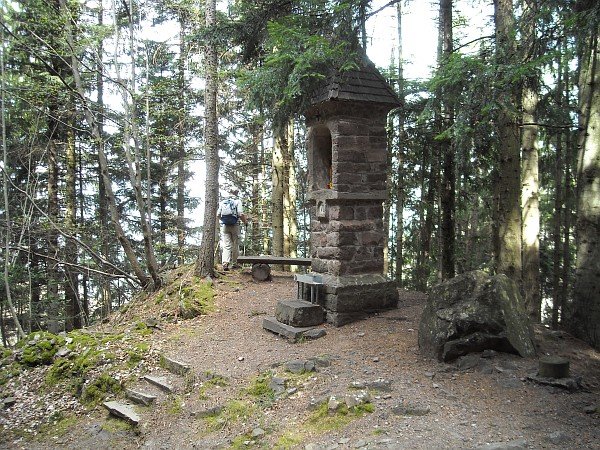
Small church
Photo 6 of 20
© gb for trekking-etc.it
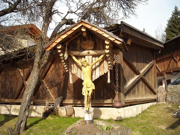
Crucifix
Photo 7 of 20
© gb for trekking-etc.it
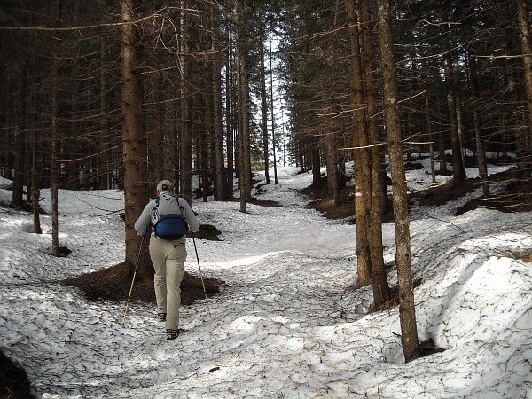
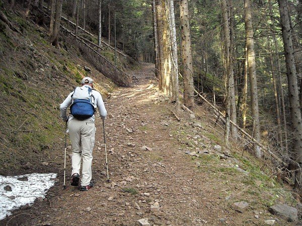
Going up
through the woods
Photo 8 of 20
© gb for trekking-etc.it
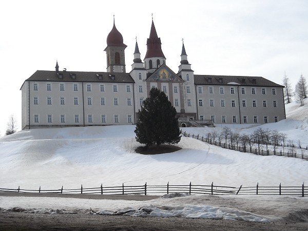
Heiligtum Weissenstein
Sanctuary of Pietralba
Photo 9 of 20
© gb for trekking-etc.it

Sanctuary
Photo 10 of 20
© gb for trekking-etc.it
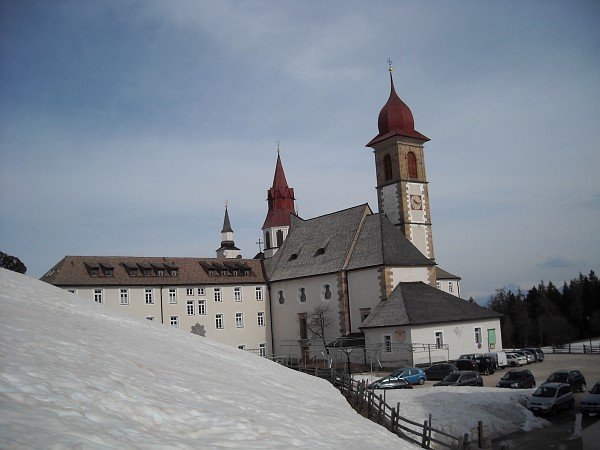
Sanctuary
Photo 11 of 20
© gb for trekking-etc.it
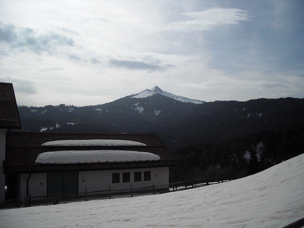
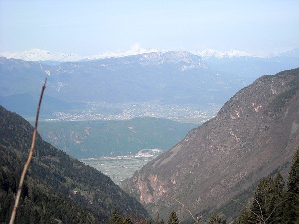
View
towards the Corno Bianco
Photo 12 of 20
© gb for trekking-etc.it
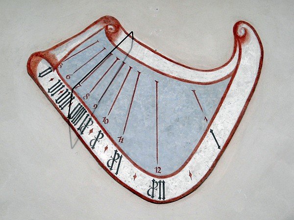
Sundial
Photo 13 of 20
© gb for trekking-etc.it
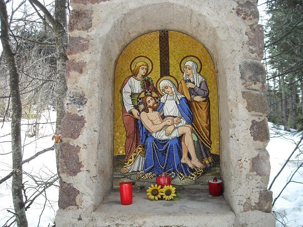
Station
of the Via Crucis
Photo 14 of 20
© gb for trekking-etc.it
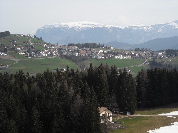
Deutschnofen
Nova Ponente, with the Schlern / Sciliar
Photo 15 of 20
© gb for trekking-etc.it
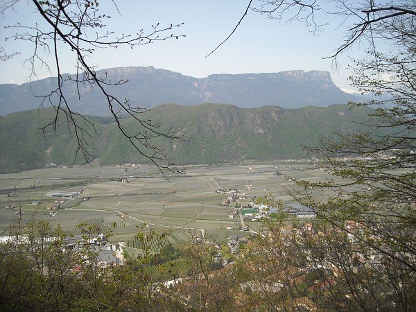
View
towards the Adige Valley, and Eppan / Appiano
Photo 16 of 20
© gb for trekking-etc.it
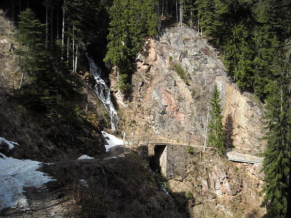
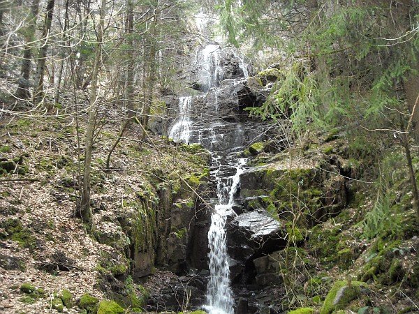
Bridge
and waterfall
Photo 17 of 20
© gb for trekking-etc.it
Station
of the Via Crucis
Photo 18 of 20
© gb for trekking-etc.it
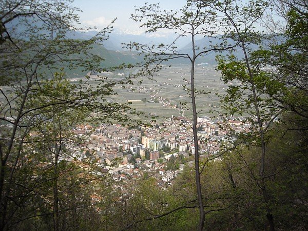
View on Leifers / Laives
Photo 19 of 20
© gb for trekking-etc.it
Valley of Adige
Monte di Mezzo, Penegal and Macaion
Photo 20 of 20
© gb for trekking-etc.it