![]()

RITTNER HORN
Corno del Renon, from Villanderer Alm / Alpe di Villandro
The Rittner Horn (m.2260) is a 360° vantage point that can be reached without difficulty even after a recent snowfall (although it is always a good idea to consult weather reports before the hike).
The tour proposed here allows to reach the Rittner Horn with snowshoes, from the north, avoiding ski plants that are located on the opposite side, and that you find only when you reach the summit.
Access
The starting point is the parking lot at Villanderer Alm / Alpe di Villandro, which can be reached by car from Klausen / Chiusa in about 14 km.
Ascent
You take first the path n.6 that goes up on the right of the sled track. After a few tens of meters from the start, you pass next to Gasser Hütte, a typical restoration place.

The trail goes up very little until it reaches the sled track (walk aside it), just before the junction for Rinder Platz, which you neglect.
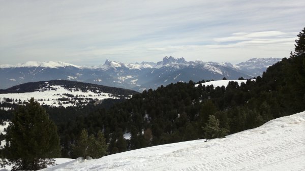
Already now, looking back, the view is magnificent. It ranges from the Pustertal to the Lagorai, with Peitlerkofel, Geislergruppe, Langkofel and Plattkofel in the foreground.
Shortly after (30' from the start), at a fork, take left,

where you can see the Mair in Plun Hütte and begin to follow the tracks of cross-country skiing.

From Mair in Plun Hütte, it is possible to return by sled to the starting point.
The route now follows a wide curve and enters a more solitary environment, with a landscape dotted with huts scattered across the wide plateau.

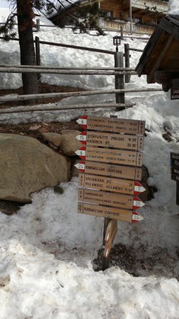
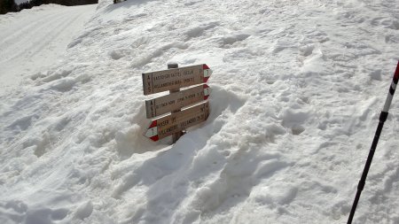
Shortly after the track starts to head south-east (1 hour from the start), on the right you find a signpost (it may be covered with snow in case of heavy snowfalls) indicating the turnoff to the Saddle of Sentieri. The path is now n.7.
From there the trail begins to climb steeply, with no predetermined track, up to the saddle which is located in the south-west.
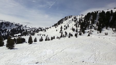
You cross again the cross-country ski track, that you can follow until you can see the summit of the Rittner Horn. Or you can cut the corner of the track, heading towards southwest.

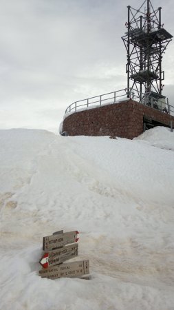
The summit of Rittner Horn is unfortunately unmistakably identified by the weather station antennas.
Once spotted the top, you can head without precise track to the saddle, that is located on the right side of the ridge.
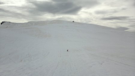
With easy, but steep climb, you reach the summit plateau from which, proceeding towards the south-east, you finally reach the peak (2h - 2h 30' from the start).

Beside the weather station and plant, the show is however superb.
In addition to the aforementioned peaks, on the other side you can also see the Ortler, Adamello and Presanella.
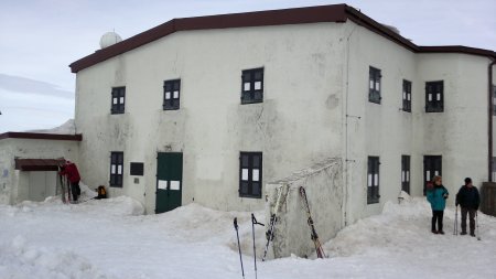
On the summit, in addition to the CAI shelter (closed in winter), there is also a nice dining place in which to stay a little before embarking on the path back.

Descent
Along the ascent path.
■ rd, 2014-03-15


