
CIMA DEL LAGO
via the Dihedral Dall'Oglio, from Capanna Alpina
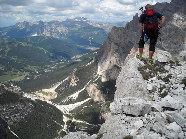
This is certainly one of the finest classic routes of the Dolomites, with beautiful rock, an exciting climbing line, and spectacular scenery and views.
Along the climbing route, all stops are equipped, and in the demanding stretches there is no shortage of nails, with good possibilities of placing fast protections.
Author's note: I thank my friends Flavio and Federico who invited me to climb this route, and who appear in several photos.
Access
From San Cassiano in Badia, or from the Pass of Valparola you reach location Armentarola, near which you take the road to Rifugio Capanna Alpina (directions). Near the refuge, parking is available, for a fee.
Approach
You take the path 20:
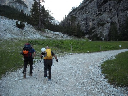
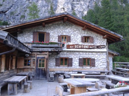
It is a winding dirt road that goes up to Refuge Scotoni:
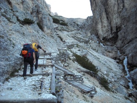
You continue on the path 20, which now goes along a valley with a creek:
So you reach the junction with the path 20b, that you take, arriving soon at Lake Lagazuoi:

You go around the lake following a track between the pines, which then begins to climb on the scree slopes that descend from the Forcella del Lago; you leave the path that goes up to get one that crosses to the left, aiming at the base of the wall to the left of the Cima del Lago:

Slightly to the left of the highest point of the scree at the base of the wall, just to the left of a chimney, there is the route starting point:
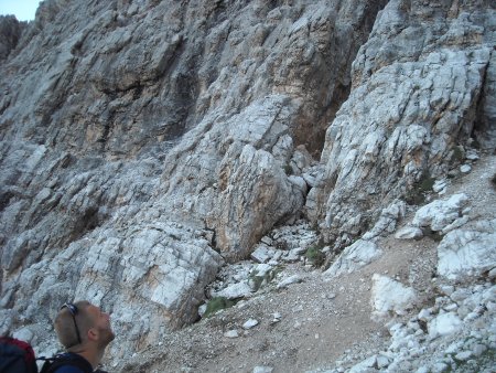
Ascent
L1, L2, L3, L4: You climb up along the rocky base, aiming at the point where the ledge is connected to the wall, about 160 m higher, recognizable by the overlying yellow rocks.
The climb follows no mandatory route; a trained eye will help following the easier climbing line, and the more solid rocks:

In the first two lengths of 40 m each, you you shall move a bit to the left, while in the next two, about 50 m each, you shall climb up substantially straight.
The first stop is on two nails:
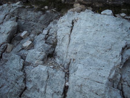
The second stop is on a tunnel:
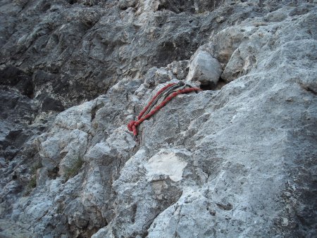
the third one is on two nails:
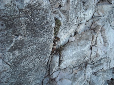
You climb up on good rock, of grade III with some steps of grade IV-:


The final part, on a dihedral with a blade

brings you to the ledge, with a stop on a nail:
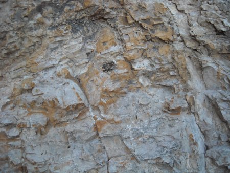
175 m, III, steps of IV-.
Ledge: you cross to the right for about fifty meters, without reaching the dihedral (that's a possible variant, but is a little more tricky). The starting point of the fifth length is located under a niche, at a bolt.
50 m, easy.
L5: You climb up in the niche
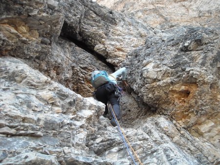
then proceed diagonally to the right; immediately to the right of another niche there is a good tunnel on which to stop:
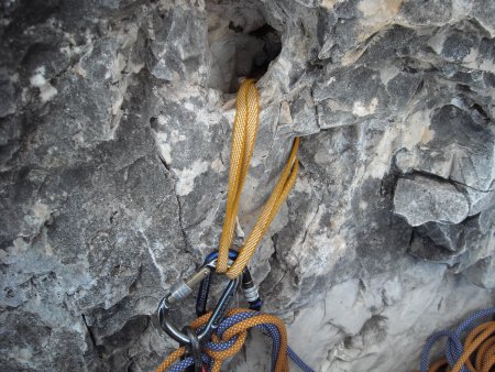
15 m, IV, IV-, 2 nails, stop on a tunnel.
L6: You traverse to the right up to the dihedral and you start to climb up along it, finding several nails along the length:


You get to a small ledge, where little to the left of the dihedral you stop on two nails:
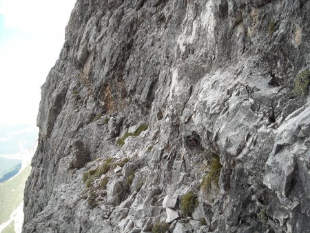
35 m, IV, 5 nails, stop on two nails.
L7: You climb along the dihedral, or just to the left until you find a niche with two tunnels, on which you stop:

45 m, IV and IV-, nail, stop on two tunnels.
L8: You continue climbing up the dihedral, and where it forks, you take the right one:

You reach a ledge with boulders, one of which is usable as a spike for a stop:
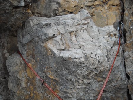
35 m, IV- and IV, nail, stop on a spike.
L9: You bypass the small overhang by climbing a little obliquely to the left (2-3 meters, not more), then return to the dihedral:

You follow it up to the stop on a large tunnel, slightly to the left of the dihedral:
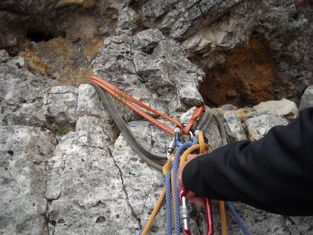
35 m, IV, step of IV+, nail, stop on a tunnel.
L10: You follow the edge of the magnificent cracked dihedral:

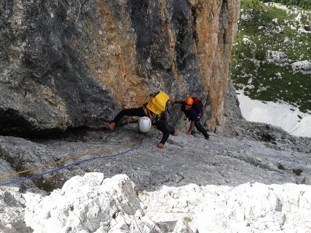
thus reaching the exit point of the climbing route.
25 m, IV, stop on a spike.
To the summit: Along easy rocks and tracks you first reach the route book (cairn) and then the Cima del Lago, with spectacular views in all directions: the Conturines, the Group of Fanis, the Lagazuoi, and the lake of the same name:

and farther away, several mountain groups, including the Marmolada and Sella:

Return
From the top you go back to the exit of the climbing route, then down mainly to the south-east, along a trail with cairns, with some stretch of easy down-climbing:
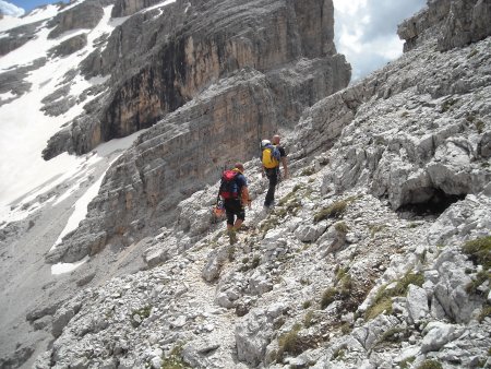
So you get to the point of double-rope, on a large tunnel, with ropes and a ring:

The double-rope is little less than 30 m.
You continue on tracks (possibility with a second, short double-rope) then descend into the valley, close to the Forcella del Lago, where you go down along the path 20b:
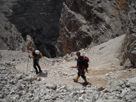
So you get back to Lake Lagazuoi, from where you can go back along the path forward.
■ gb, 2014-07-17


