
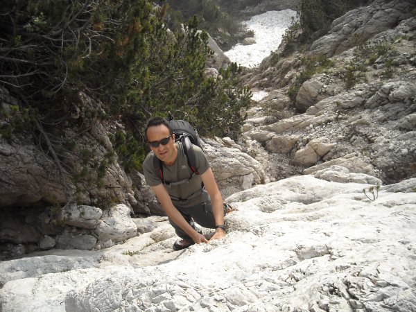
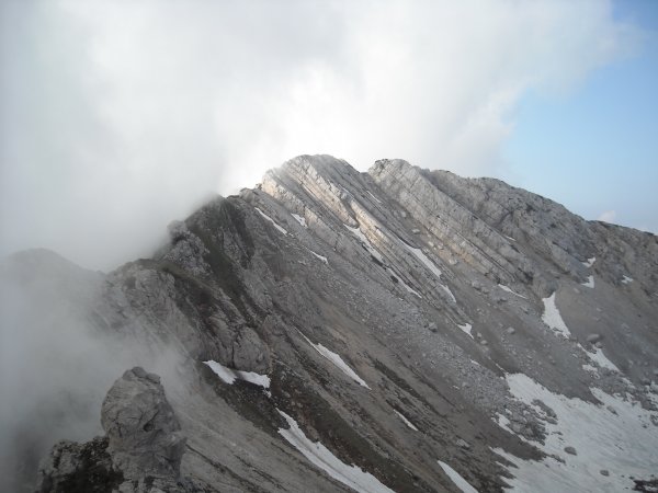
Wall
Photo 1 of 8
© gb for trekking-etc.it
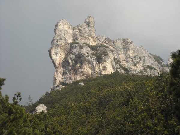
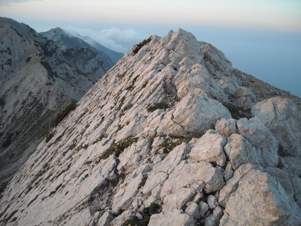
Spire
Photo 2 of 8
© gb for trekking-etc.it
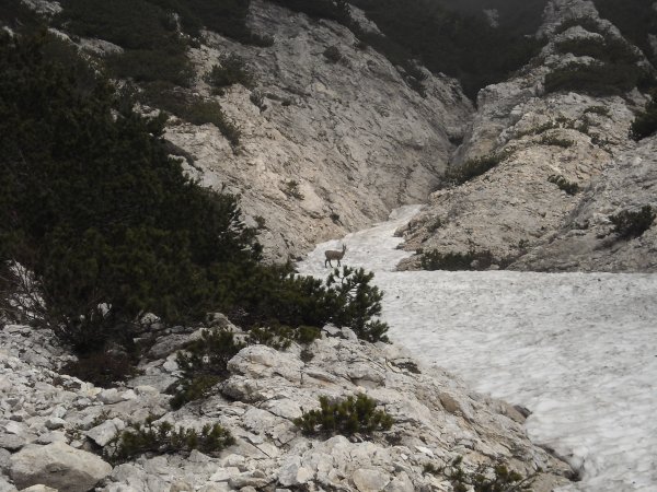
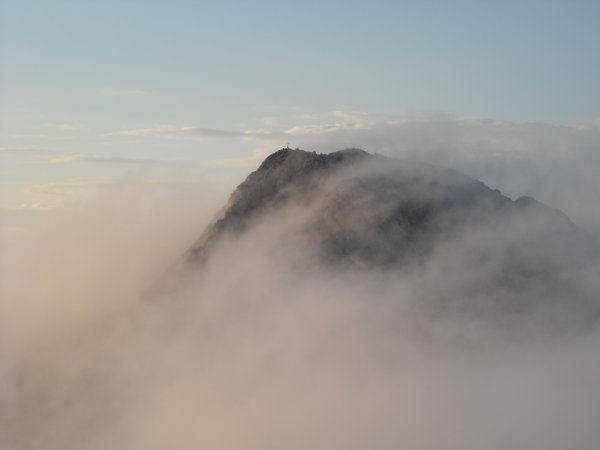
Suede
Photo 3 of 8
© gb for trekking-etc.it
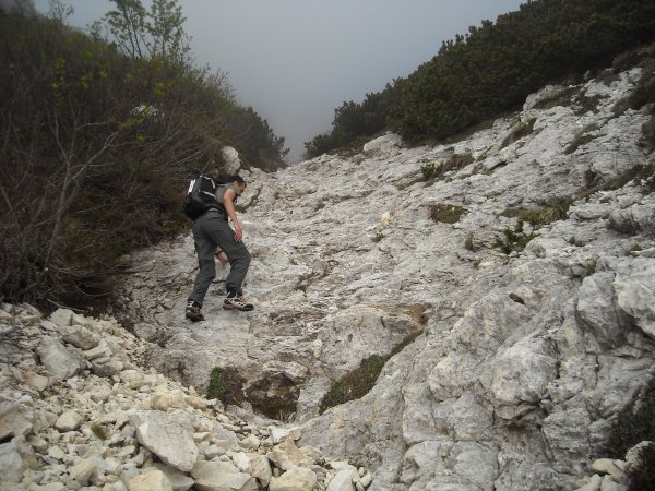
Climbing up
Photo 4 of 8
© gb for trekking-etc.it
Cima Prà de la Baziva
Photo 5 of 8
© gb for trekking-etc.it
Cima Prà de la Baziva
Photo 6 of 8
© gb for trekking-etc.it
View
on Cima Valdritta
Photo 7 of 8
© gb for trekking-etc.it
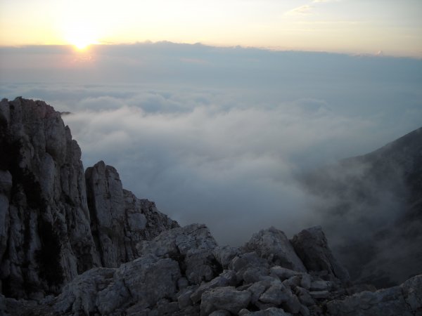
Sunset
Photo 8 of 8
© gb for trekking-etc.it