
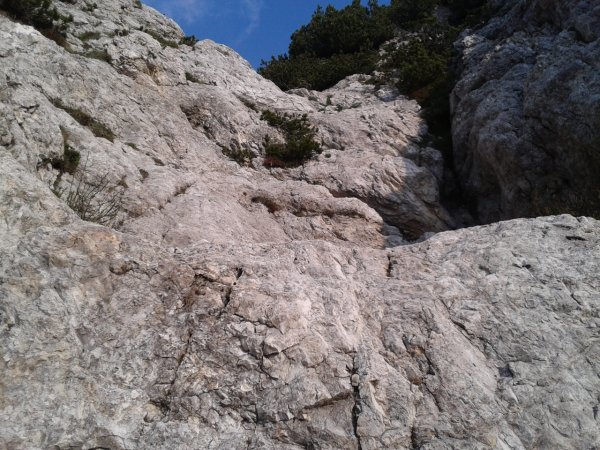
Wall
Photo 1 of 10
© gb for trekking-etc.it
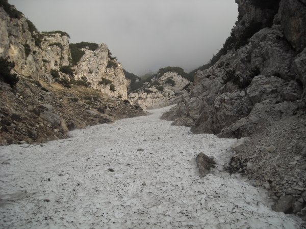
Snow
in the canyon
Photo 2 of 10
© gb for trekking-etc.it
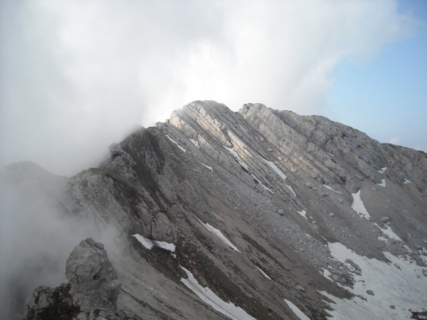
View
on Cima Prà de la Baziva
Photo 3 of 10
© gb for trekking-etc.it
Cima Valdritta
Photo 4 of 10
© gb for trekking-etc.it
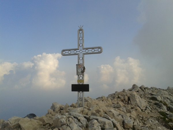
Cima Valdritta
Photo 5 of 10
© gb for trekking-etc.it
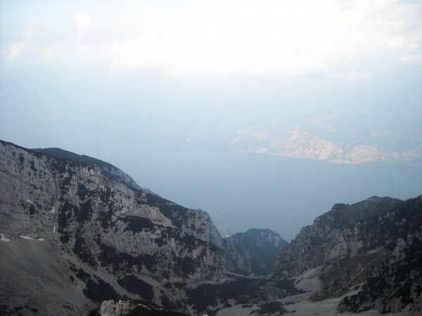
View
on Lago di Garda
Photo 6 of 10
© gb for trekking-etc.it
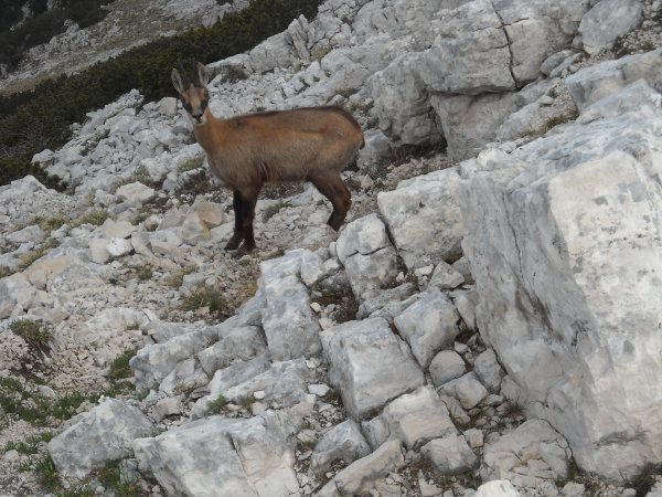
Suede
Photo 7 of 10
© gb for trekking-etc.it
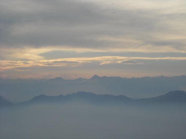
Before sunset
Photo 8 of 10
© gb for trekking-etc.it
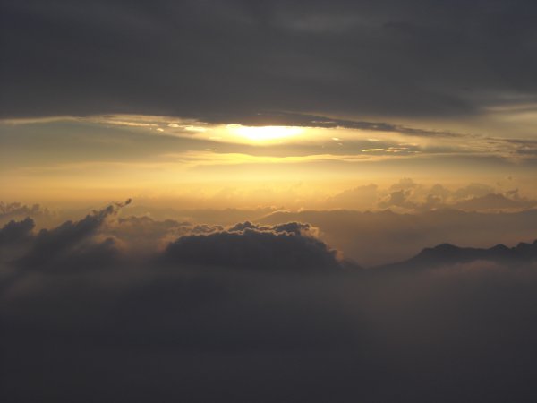
Sunset
Photo 9 of 10
© gb for trekking-etc.it
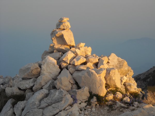
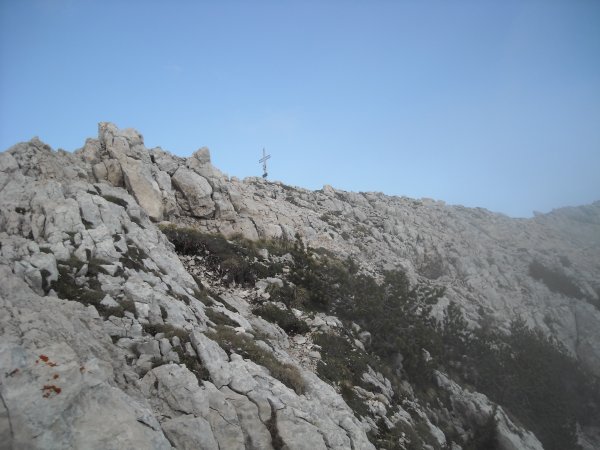
Cairn
Photo 10 of 10
© gb for trekking-etc.it