![]()

TOUR OF MASI SARACINI
from Martignano
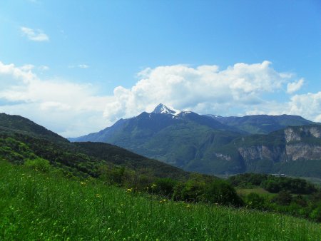
Short and varied track on the slopes of Mount Calisio, on the hills east of Trento.
The itinerary passes along the towns of Martignano, Cortesano and Montevaccino, proposing, although the total distance is rather short, a wide variety of trails and scenery.
On the stretches of paved road, except for a short initial section, there is very little traffic.
Access
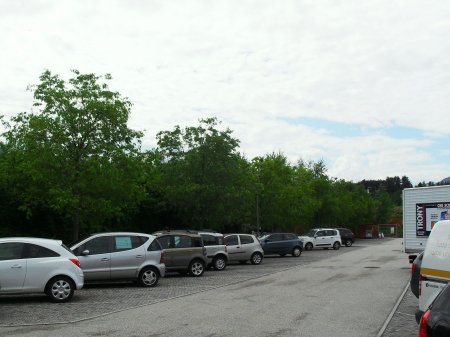
The starting point of the park is a parking lot in Martignano, a suburb of the hill east of Trento.
Route
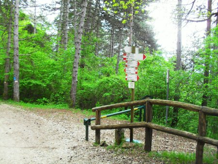
From the parking lot, you take the paved road towards the north (towards Montevaccino). After the town, the road begins to climb. Shortly after the village at Bolleri and before a sharp turn, at the fork on the left, you take the path to Maso Specchio.
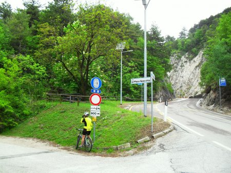
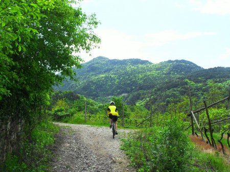
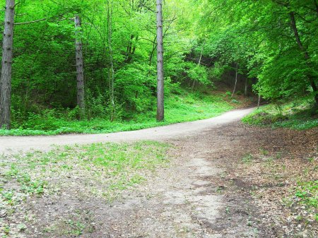
The road, initially paved, enters the woods and becomes dirt.
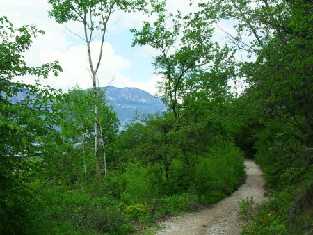
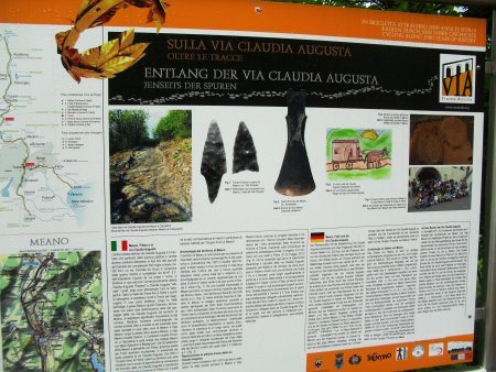
This route is believed to be the ancient Roman road Claudia Augusta Altinate, starting from Altino (VE), and leading up to Augusta in Germany.
Once out of the forest, at the fork, you take the road that goes to the right
and this way, after less than a kilometer, you reach Masi Saracini.
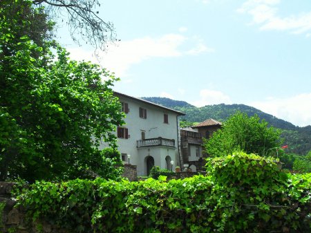
The village, with a small church, dates back to the sixteenth century.
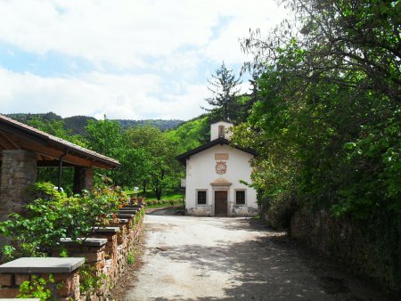
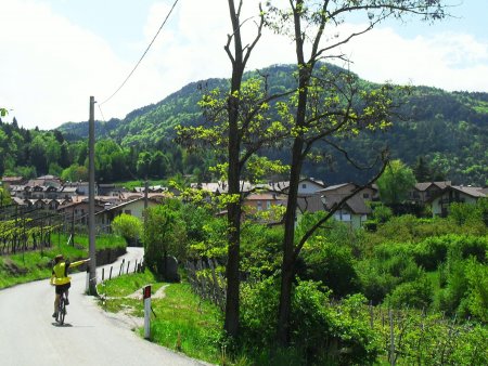
Past the farms, passing by some vineyards, you arrive to the village of Cortesano. You follow the route passing between some houses, up to a church located at a crossroads.
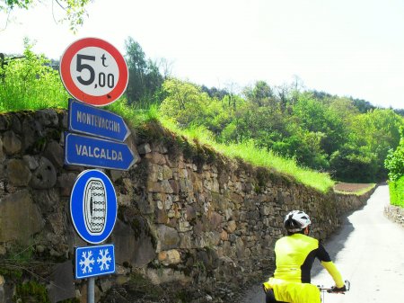
You take the road towards Valcalda, a suburb that you reach after passing some steep slopes (asphalt).
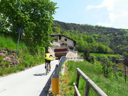
From Valcalda you continue through the woods in the direction of Montevaccino, on a road that is more or less flat.
When you reach the main street, if you want, you can make a short digression on the right towards the village church (fountain), otherwise you take to the left, and after a few hundred meters, you take a dirt path on the right. This is the Sentiero del Marez that, through the woods, connects to the Strada de Mez
and leads you to the crosroads of Quattro Strade.
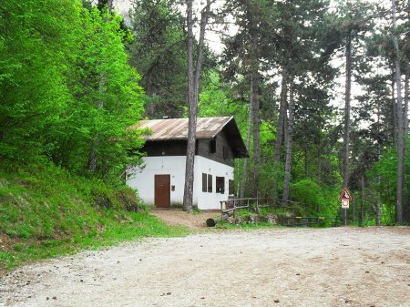
This place is located near the former shelter Calisio, in front of which there is a large terrace overlooking the city of Trento.
From there, you take the former military road called Strada della Flora, that winds down to take the SP 131 from Montevaccino

that you take to the left in the direction of Bolleri, and from there to the starting point.
■ rd, 2014-05-01


