
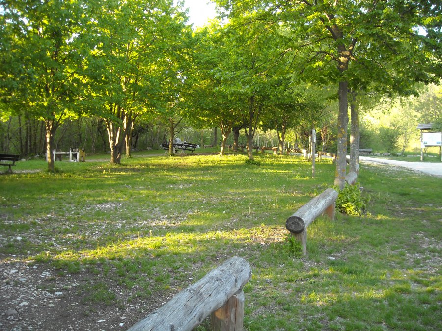
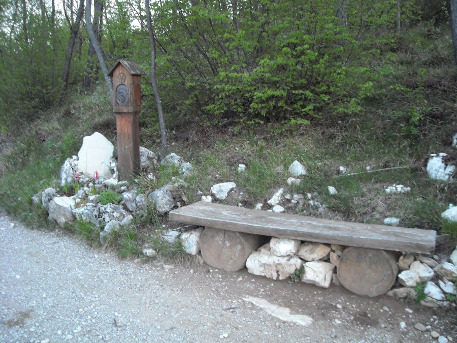
Località Fer de Caval
Photo 1 of 10
© gb for trekking-etc.it
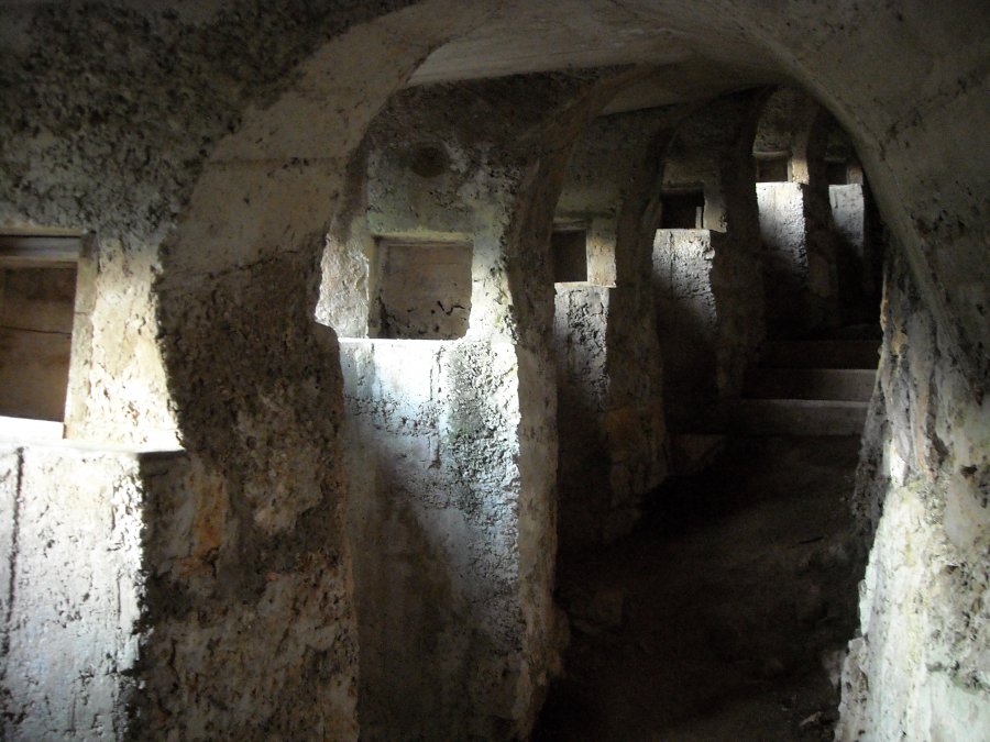
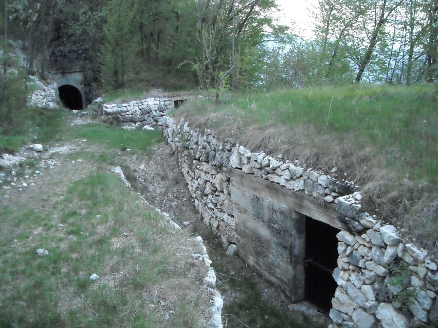
Austrian rifle fire station
Photo 2 of 10
© gb for trekking-etc.it
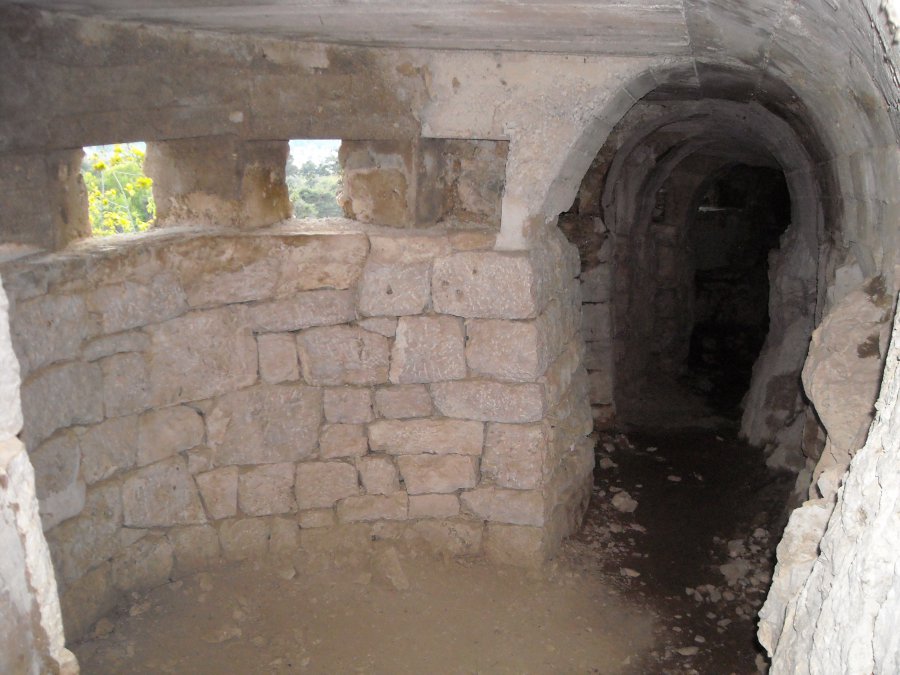
Austrian rifle fire station
Photo 3 of 10
© gb for trekking-etc.it
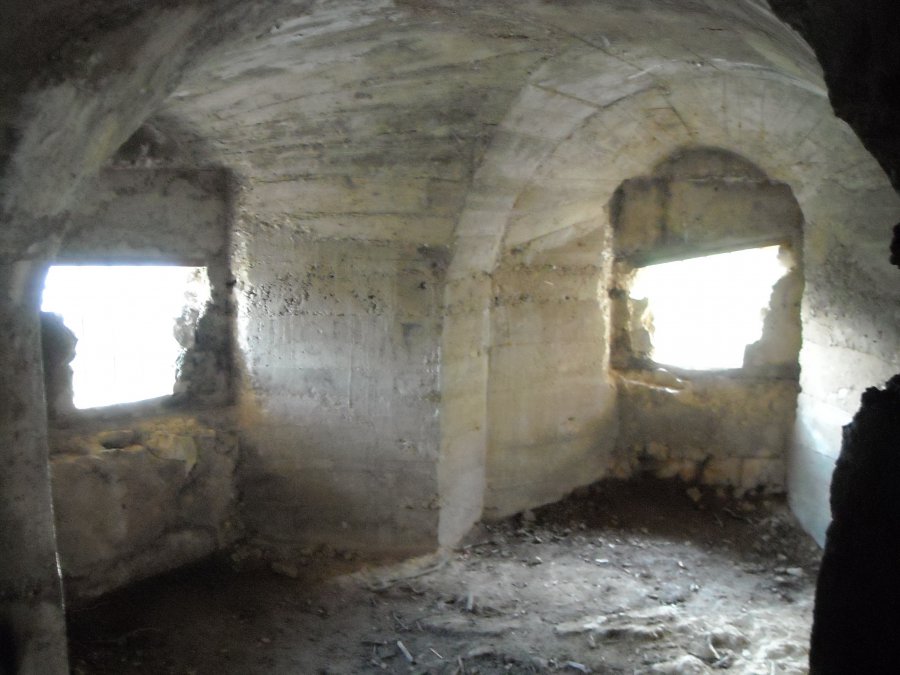
Austrian rifle fire station
Photo 4 of 10
© gb for trekking-etc.it
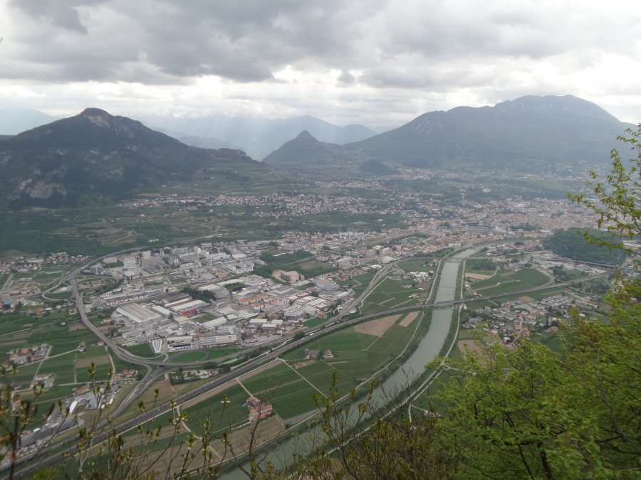
Viewpoint
su Trento
Photo 5 of 10
© gb for trekking-etc.it
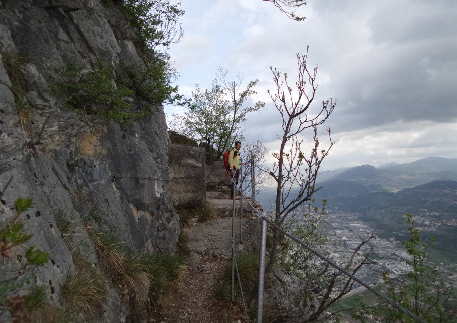
Military facility
Photo 6 of 10
© gb for trekking-etc.it
Panoramic terrace
Photo 7 of 10
© gb for trekking-etc.it
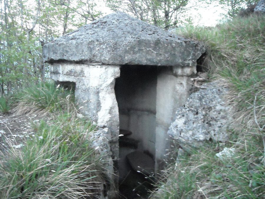
Turret
Photo 8 of 10
© gb for trekking-etc.it
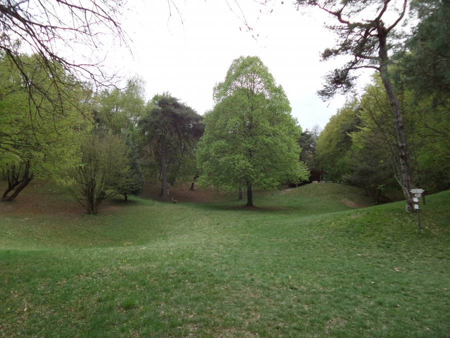
La Polsa del Fausto
Photo 9 of 10
© gb for trekking-etc.it
Poza della Casara
Photo 10 of 10
© gb for trekking-etc.it