
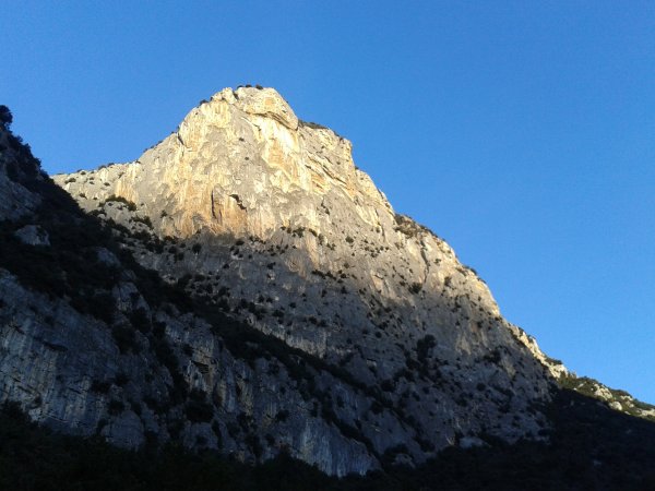
Piccolo Dain
Photo 1 of 13
© gb for trekking-etc.it
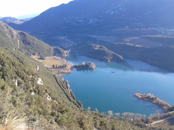
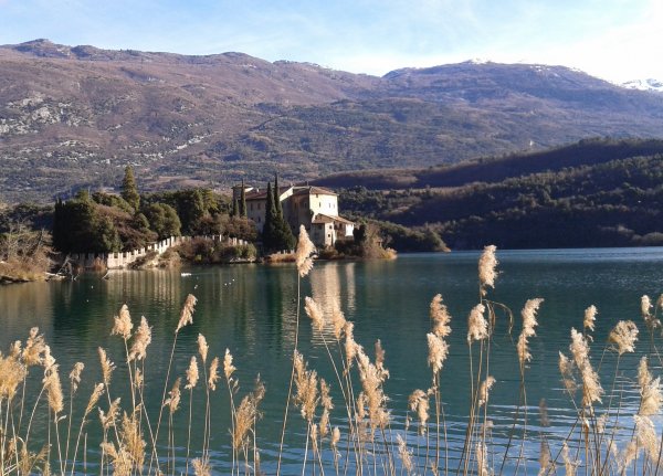
Lago di Toblino
Photo 2 of 13
© gb for trekking-etc.it
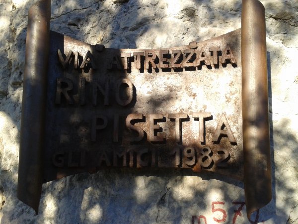
Start of ferrata
Photo 3 of 13
© gb for trekking-etc.it
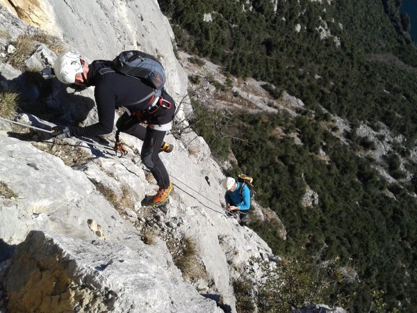
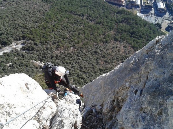
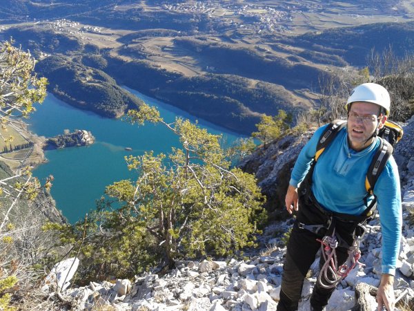
Ferrata
Photo 4 of 13
© gb for trekking-etc.it
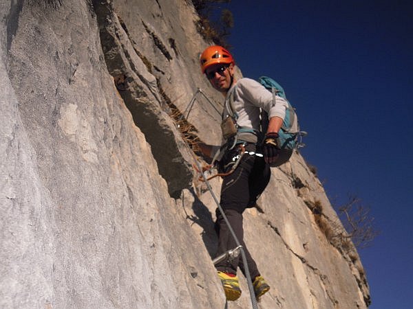
Ferrata
Photo 5 of 13
© gb for trekking-etc.it
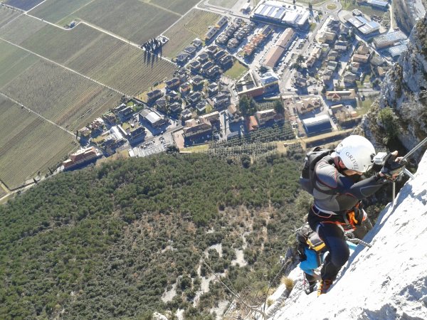
Ferrata
Photo 6 of 13
© gb for trekking-etc.it
Ferrata
Photo 7 of 13
© gb for trekking-etc.it
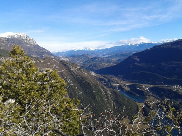
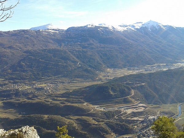
Panorama
towards north
Photo 8 of 13
© gb for trekking-etc.it
View
on Lago di Toblino
Photo 9 of 13
© gb for trekking-etc.it
View
towards Bondone
Photo 10 of 13
© gb for trekking-etc.it
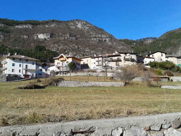
Ranzo
Photo 11 of 13
© gb for trekking-etc.it
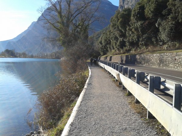
Lago di Toblino
lakeside path
Photo 12 of 13
© gb for trekking-etc.it
Castel Toblino
Photo 13 of 13
© gb for trekking-etc.it