
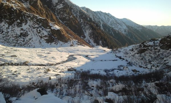
Piana del Redont
Photo 1 of 11
© bd for trekking-etc.it
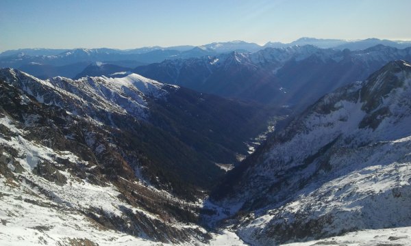
Val di Breguzzo
view of the Campantic on the left; in the background, the Bondone, Stivo, Carega and Baldo
Photo 2 of 11
© bd for trekking-etc.it
Cop di Breguzzo
Photo 3 of 11
© bd for trekking-etc.it
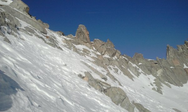
Along the way up
Photo 4 of 11
© bd for trekking-etc.it
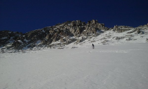
Passo dei Cacciatori
Photo 5 of 11
© bd for trekking-etc.it
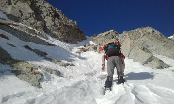
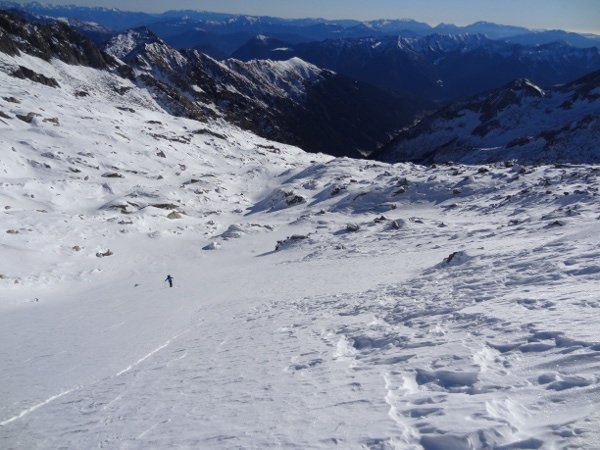
Towards the upper gully
Photo 6 of 11
© bd for trekking-etc.it
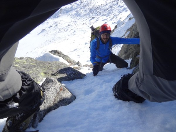
Upper gully
Photo 7 of 11
© bd for trekking-etc.it
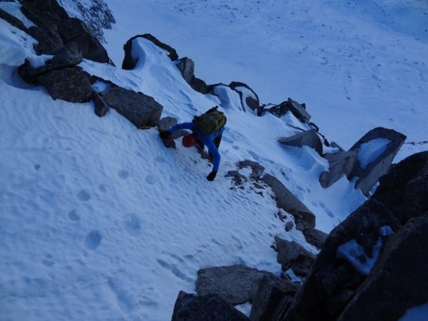
Upper gully
Photo 8 of 11
© bd for trekking-etc.it
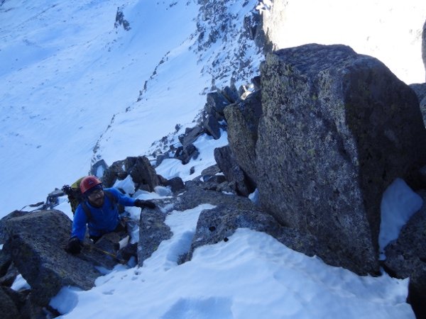
Final ridge
Photo 9 of 11
© bd for trekking-etc.it
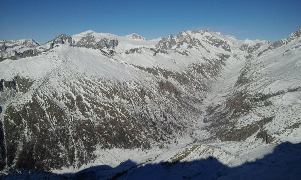
Val di Fumo
with the Adamello, Corno Bianco and Monte Fumo
Photo 10 of 11
© bd for trekking-etc.it

Carè Alto
with the Corno di Cavento and Crozzon del Lares
Photo 11 of 11
© bd for trekking-etc.it