![]()

CIANTIPLAGNA
from Pian del Frais, Val di Susa
A classic skialp in the Val di Susa, which lets you enjoy wonderful views.
The difficulty is BS, "good skiers", and requires ability to ski even in the woods.
Access
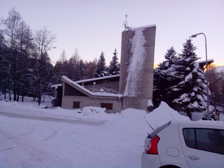
You reach Susa, then you take the highway 25 of Montgenevre and follow the signs for Meana - Pian del Frais, well indicated because it is a ski resort. Go past the plants and you can park near the church.
Ascent
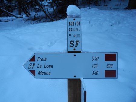
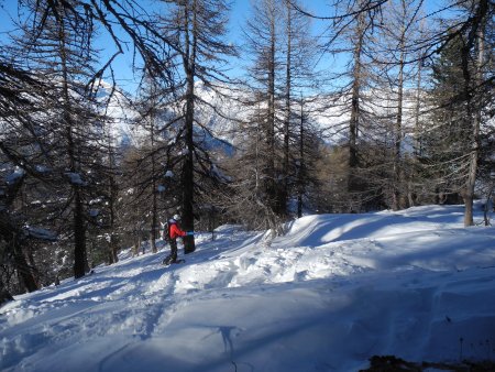
We have chosen to make a ring, first going up the valley to the right and then coming down from the valley of the left, back to the town. You go up the small road next to the church in which soon you find a SF indication (Sentiero dei Franchi, Trail of Francs).
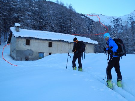
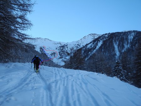
You take the driveway, wearing your skis, until you leave and turn left pointing to the house Carbonera:
From there you can see, on the right, the valley that you are going to climb up, dominated by the Cima delle Vallette. You go up the valley, keeping on the left, or moving to the left where the valley narrows. In the attached map the second option is represented, that requires a modest loss of elevation.
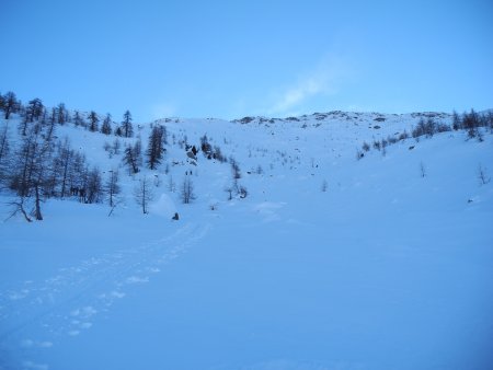
You now ascend the slopes north of Cima Vallette.
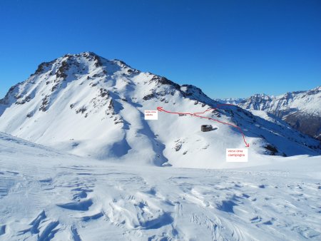
In the attached map we chose to come almost under the top and then turn left onto a XIXth century military road, to reach the Passo delle Vallette.
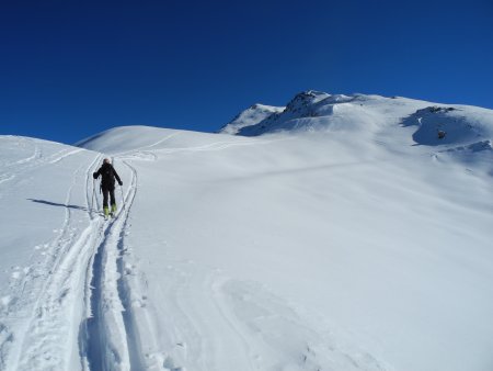
In front of you is finally visible your goal:
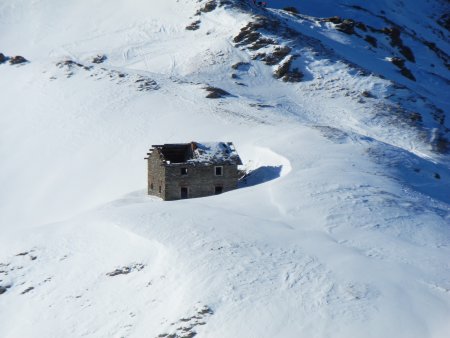
and on your right an old ruin:
You go up the path to the summit of the ridge, where there is a weather unit and, just further on, the summit cross:
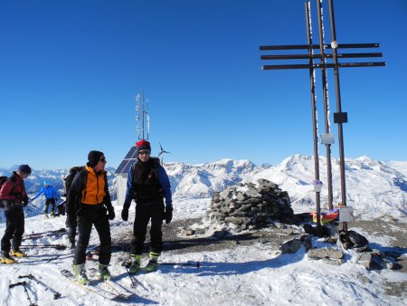
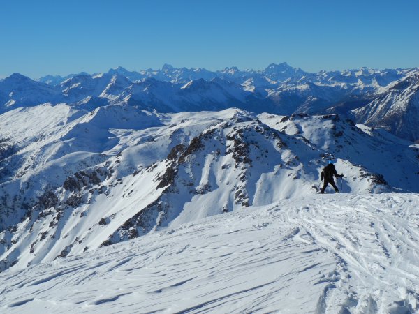
From the top, you can enjoy a wonderful view.
Descent
You can descend either along the path forward or, as we did, along the valley on the right (looking downhill). You return in both cases to the Passo delle Vallette, and then take the direction towards to the valleys below, keeping to the left near the ridge that divides the two valleys, reaching the woods on the ridge that forms the watershed, and in the woods you turn sharply to the right (see map).
This descent route can also be used as a direct ascent route to Passo delle Vallette and from there to the Ciantiplagna.
■ fb, 2013-12-01


