
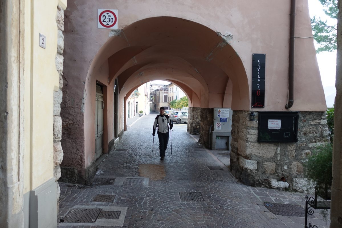
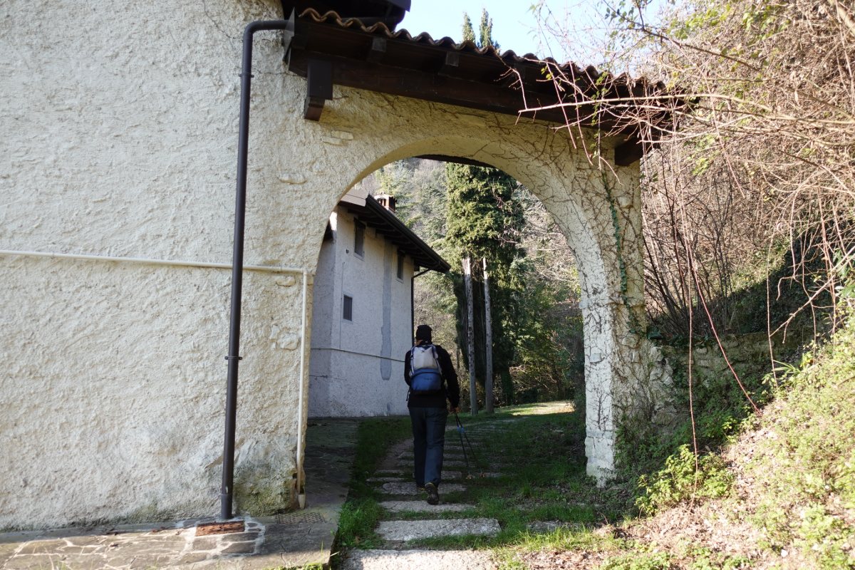
Gargnano
porch, along Via Colletta
Photo 1 of 15
© gb for trekking-etc.it
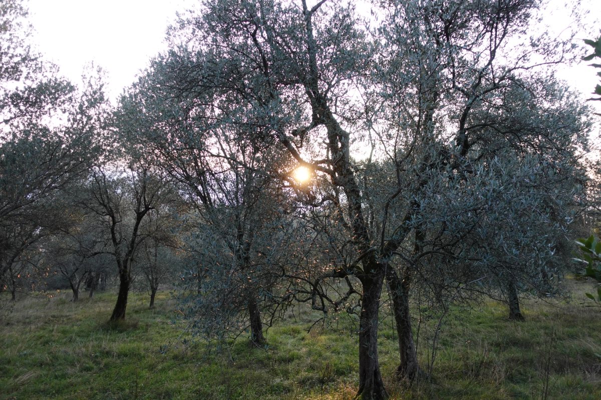
Sunrise among the olive trees
along path 40
Photo 2 of 15
© gb for trekking-etc.it
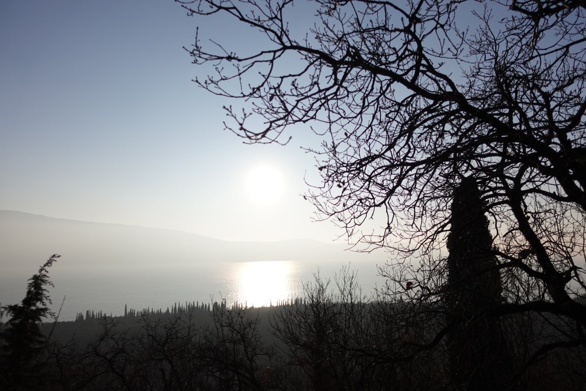
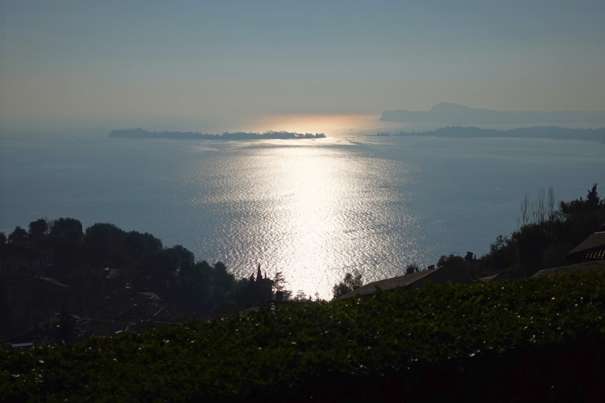
Sun and reflection on the lake
along the way, after Fornico
Photo 3 of 15
© gb for trekking-etc.it
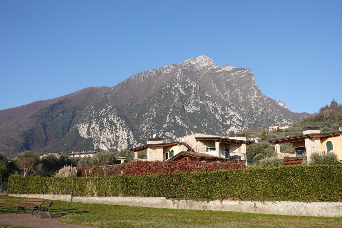
Monte Pizzoccolo
from near Gaino
Photo 4 of 15
© gb for trekking-etc.it
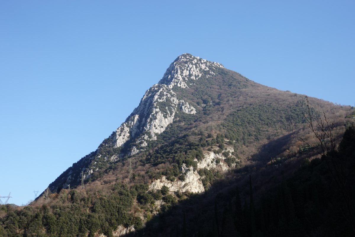
Monte Castello di Gaino
from the Valle delle Cartiere
Photo 5 of 15
© gb for trekking-etc.it
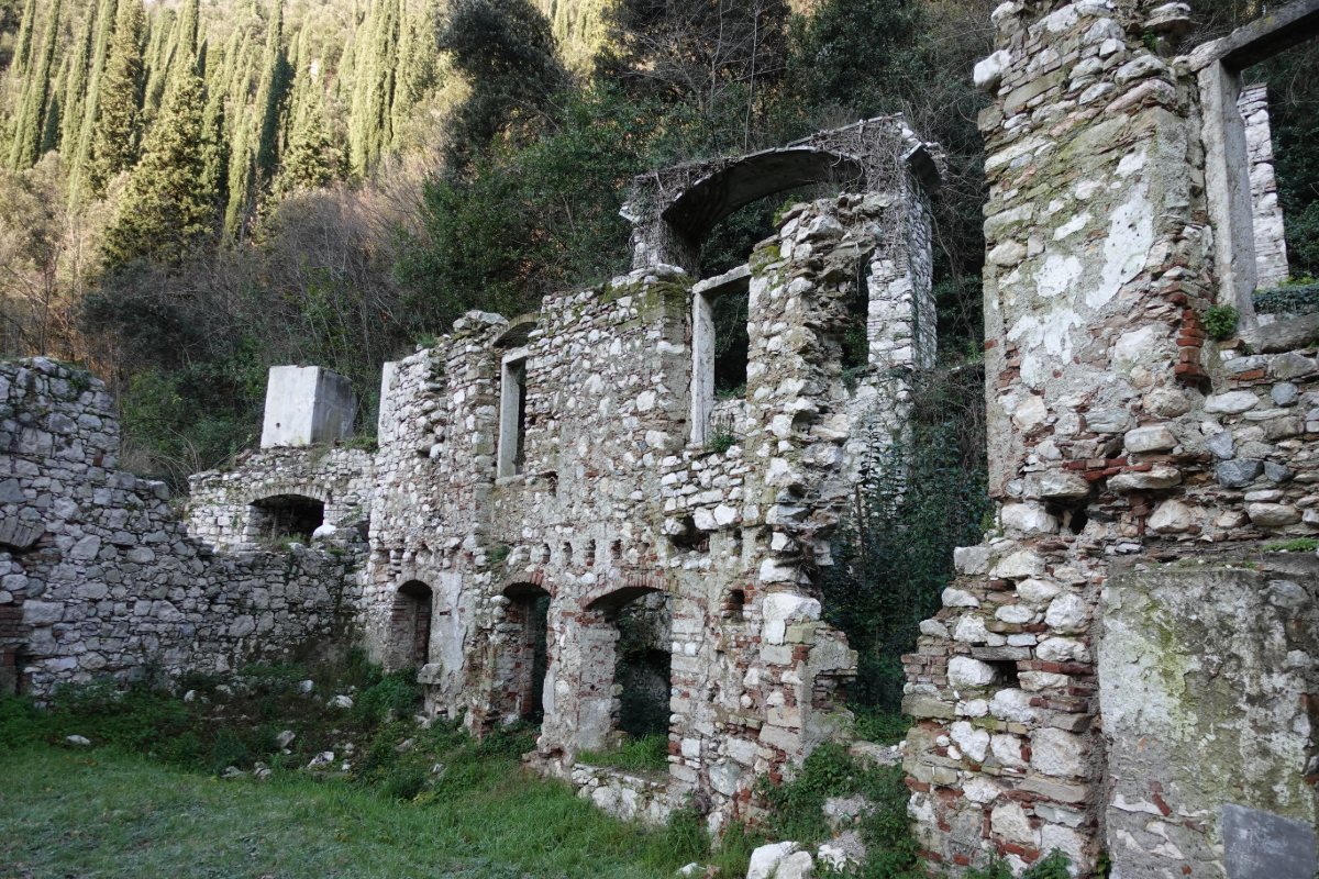
Ruins
of the ancient paper mills
Photo 6 of 15
© gb for trekking-etc.it
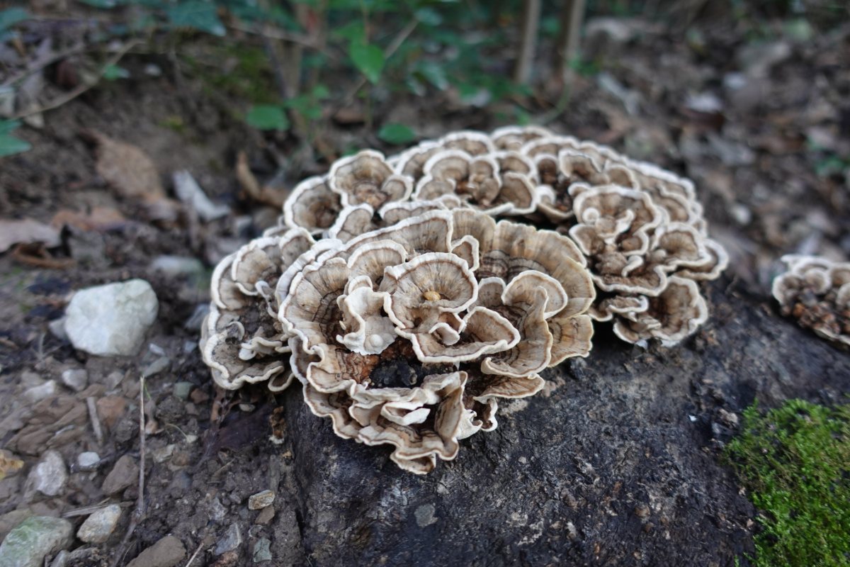
Mushrooms
on a stone
Photo 7 of 15
© gb for trekking-etc.it
Along path 19
Photo 8 of 15
© gb for trekking-etc.it
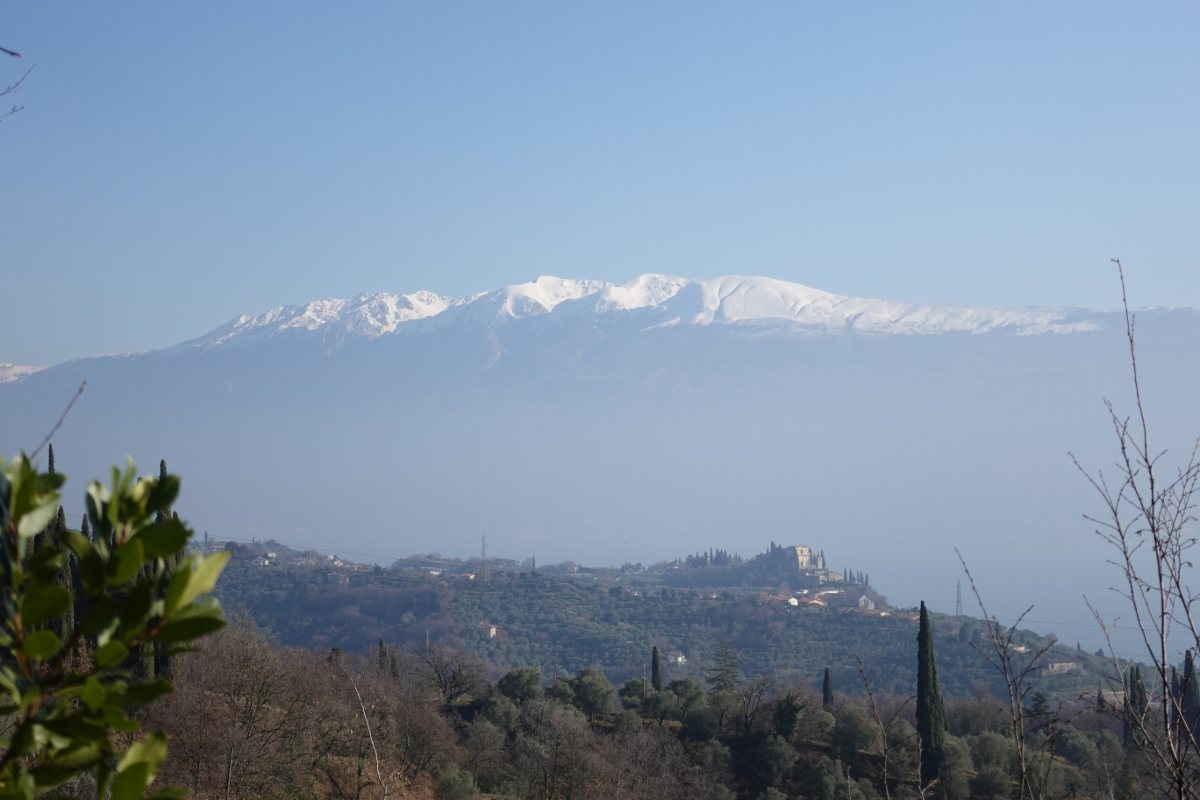
Panorama from near Sanico
on Church of San Martino and Monte Baldo
Photo 9 of 15
© gb for trekking-etc.it
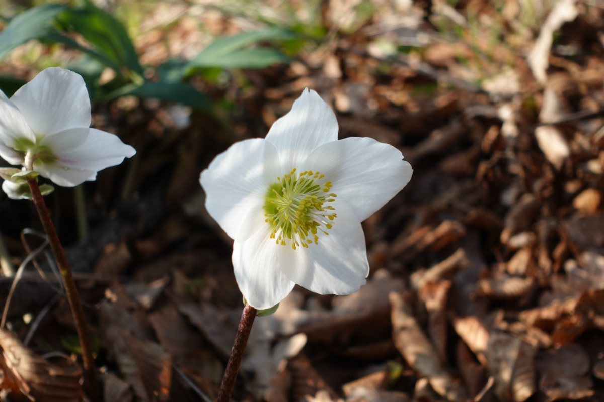
Christmas rose
along path 18
Photo 10 of 15
© gb for trekking-etc.it
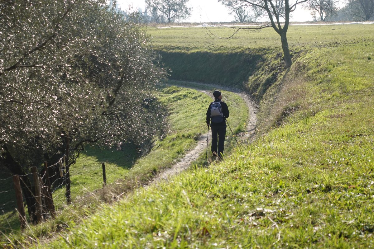
Walking along path 18
near Pezzuglio
Photo 11 of 15
© gb for trekking-etc.it
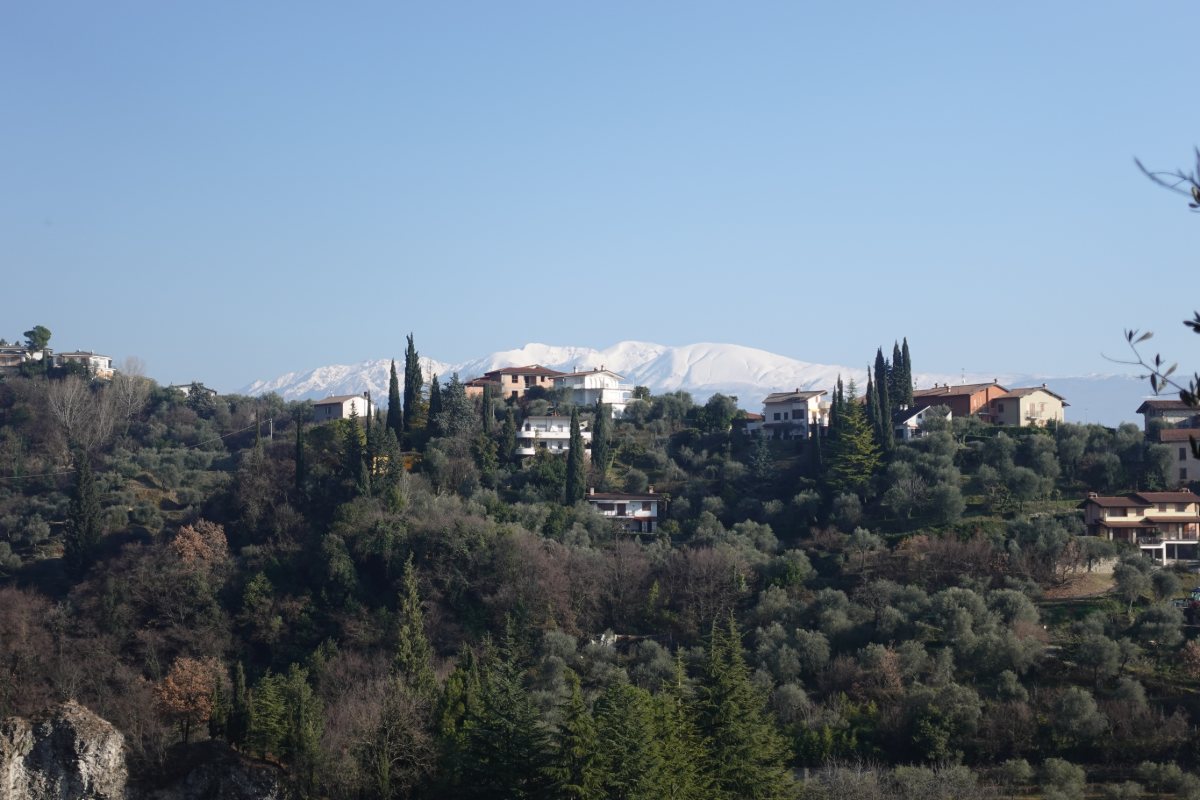
Panorama from path 18
towards Maclino and Monte Baldo
Photo 12 of 15
© gb for trekking-etc.it
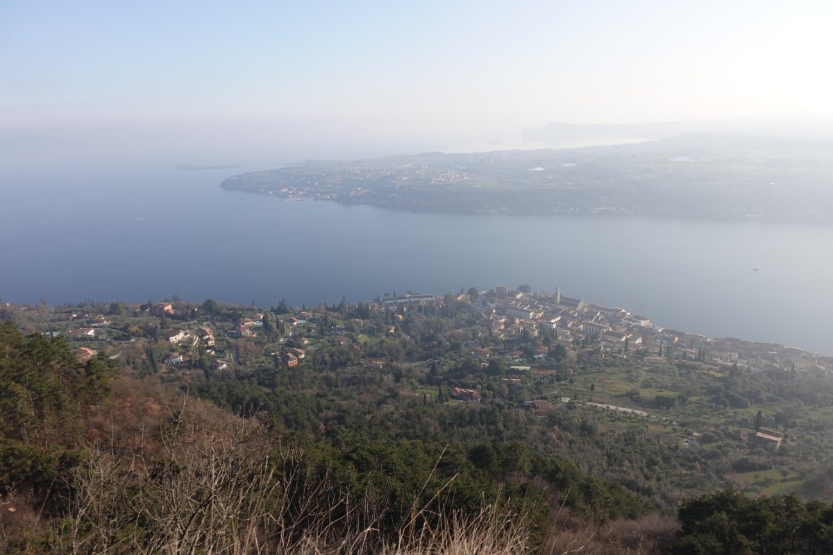
Panorama on the lake
from near Fasano
Photo 13 of 15
© gb for trekking-etc.it
Corna di Salò
panoramic point
Photo 14 of 15
© gb for trekking-etc.it
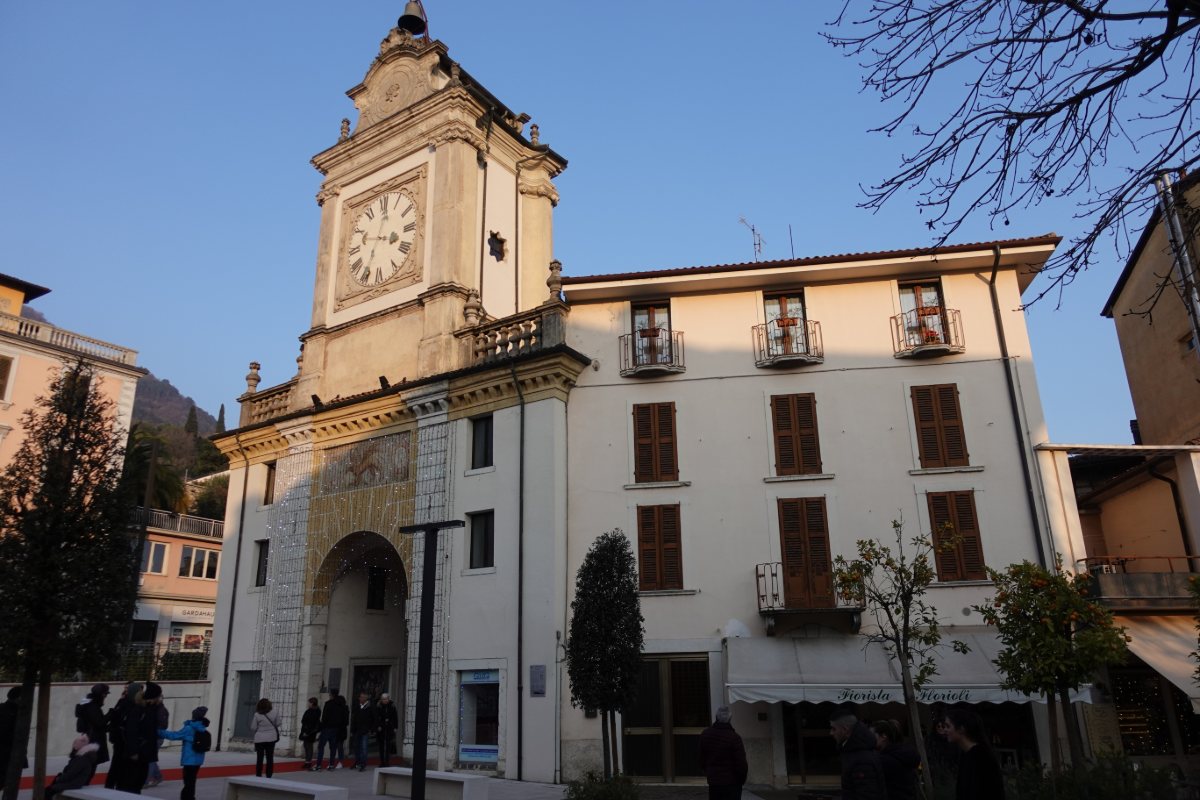
Salò
Porta dell'Orologio
Photo 15 of 15
© gb for trekking-etc.it