
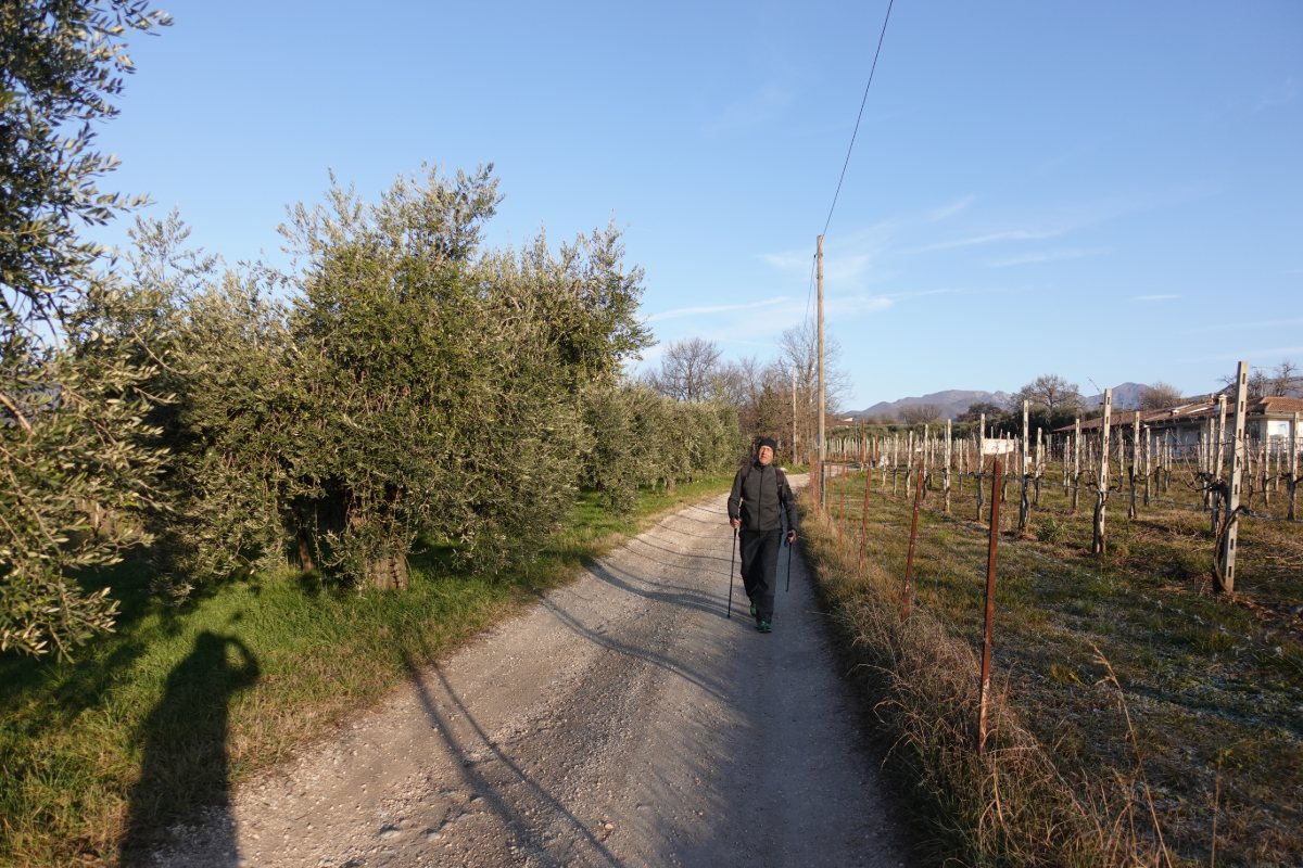
Walking in the countryside
between Salò and Pieve Vecchia
Photo 1 of 15
© gb for trekking-etc.it
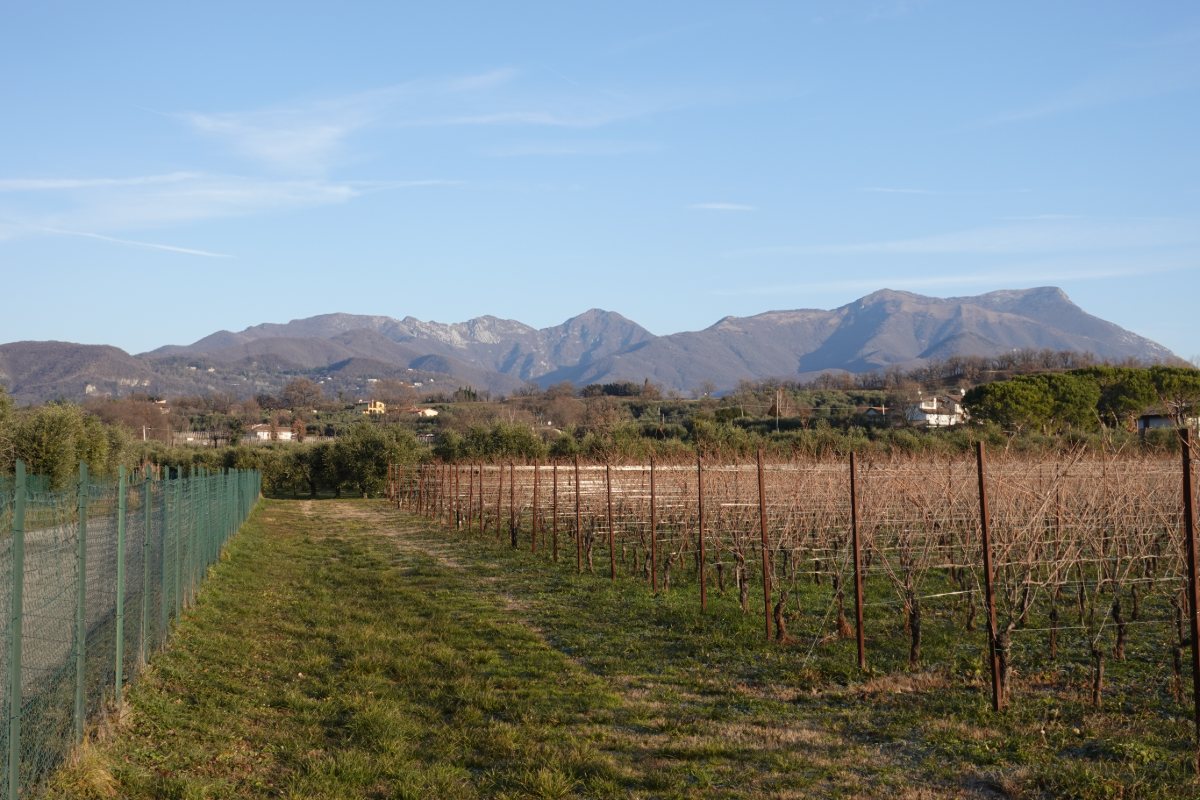
View from the countryside
towards Cresta delle Marmere, Monte Spino and Pizzoccolo
Photo 2 of 15
© gb for trekking-etc.it
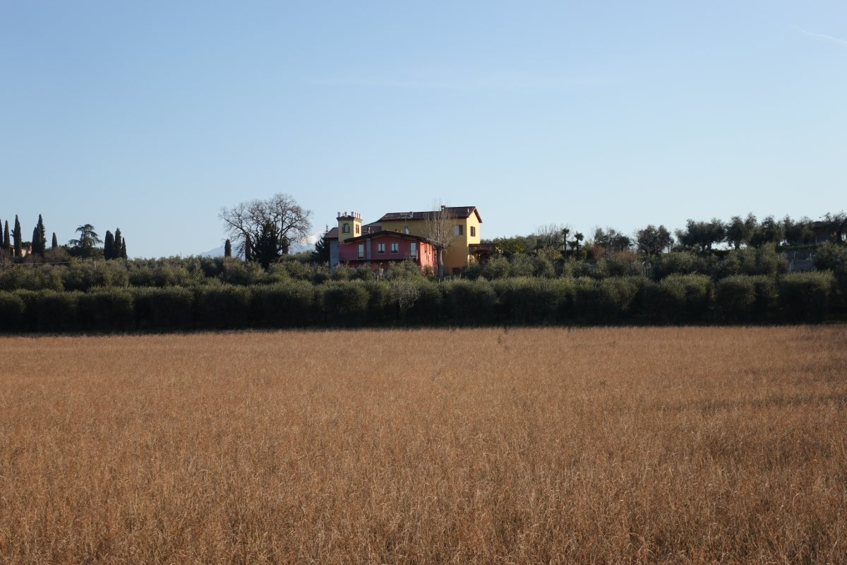
In the country side
towards Pieve Vecchia
Photo 3 of 15
© gb for trekking-etc.it
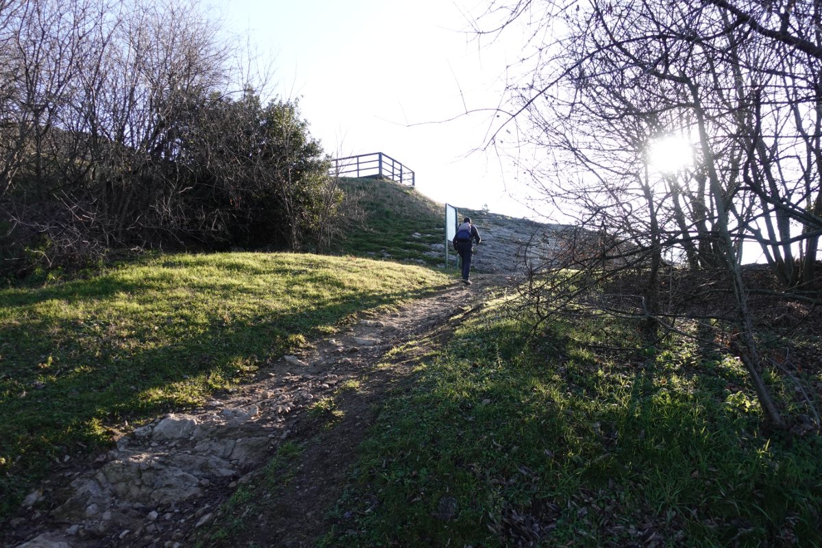
Going up
towards the Rocca di Manerba
Photo 4 of 15
© gb for trekking-etc.it
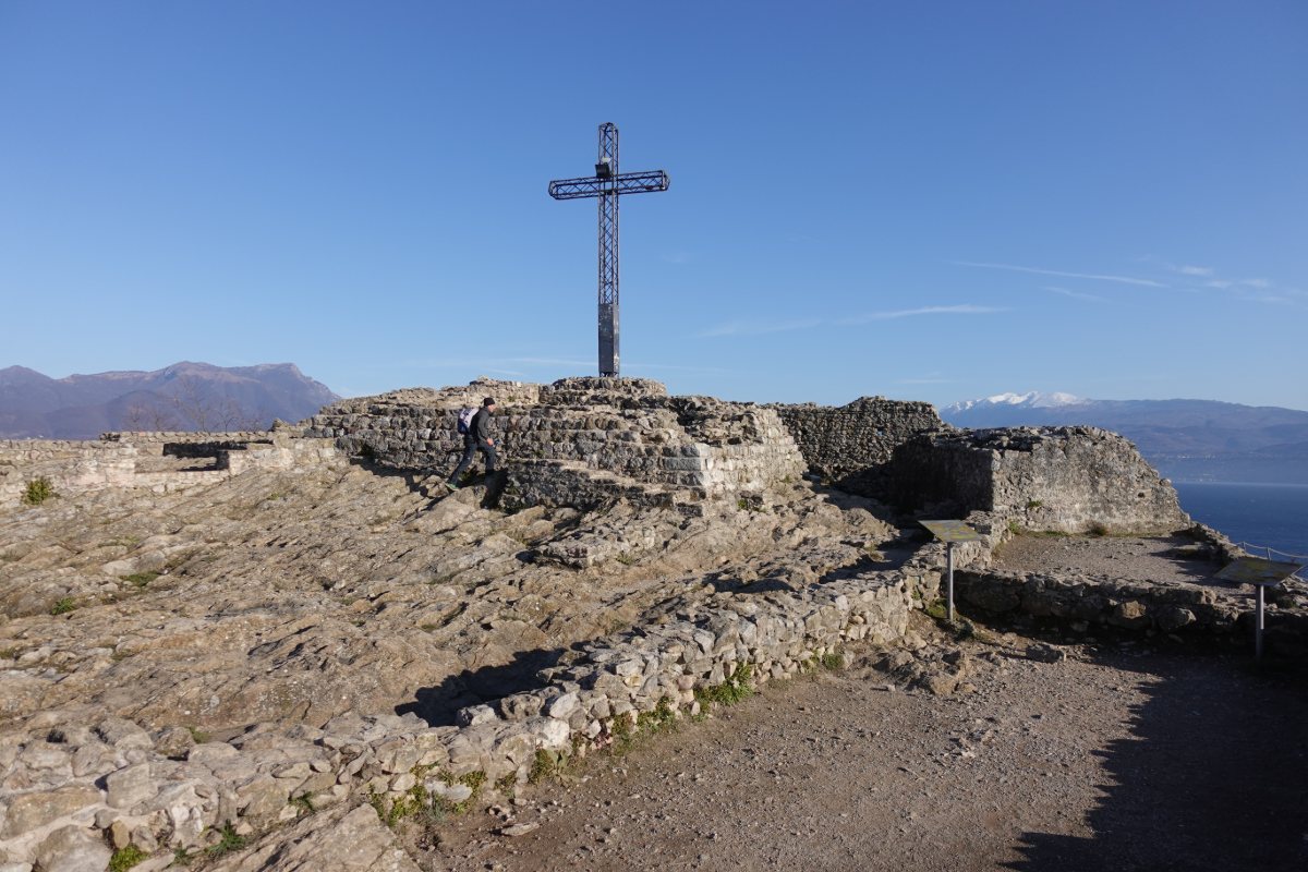
Rocca di Manerba
Photo 5 of 15
© gb for trekking-etc.it
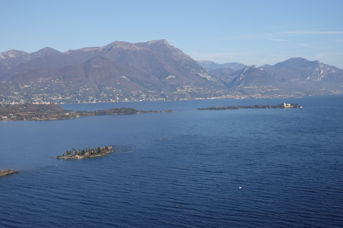
Panorama from the Rocca di Manerba
towards Isola del Garda, Monte Pizzoccolo and Monte Castello di Gaino
Photo 6 of 15
© gb for trekking-etc.it
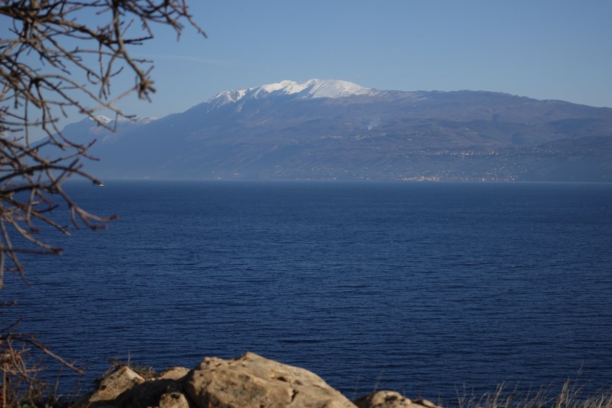
Panorama from the Sasso
towards Monte Baldo
Photo 7 of 15
© gb for trekking-etc.it
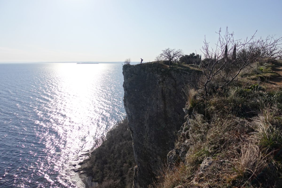
Dizzying cliffs of the park
in the background, Sirmione
Photo 8 of 15
© gb for trekking-etc.it
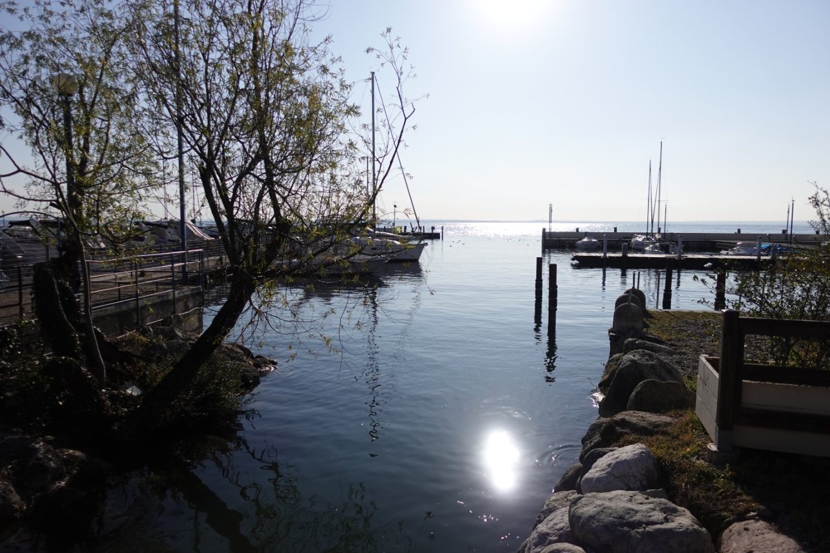
Reflections in the lake
at the Porto Dusano
Photo 9 of 15
© gb for trekking-etc.it
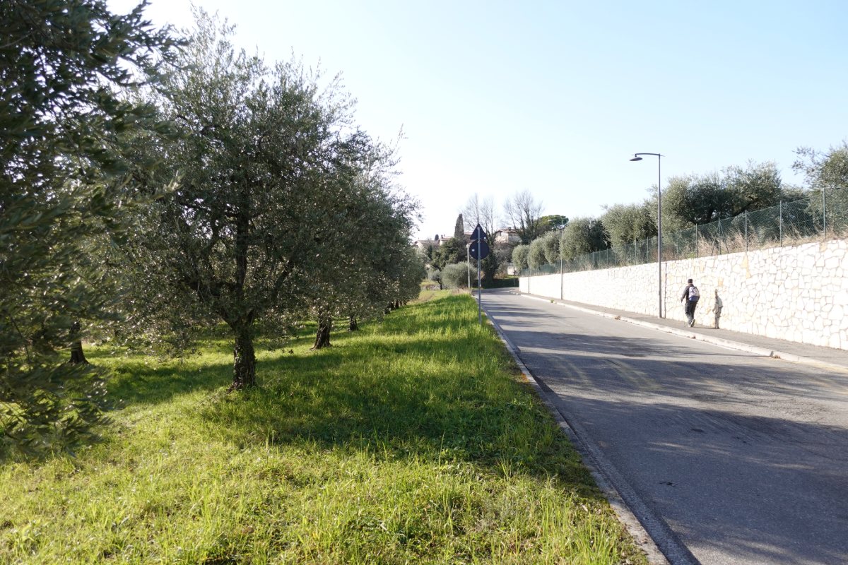
Walking near the olive trees
near Gardoncino
Photo 10 of 15
© gb for trekking-etc.it
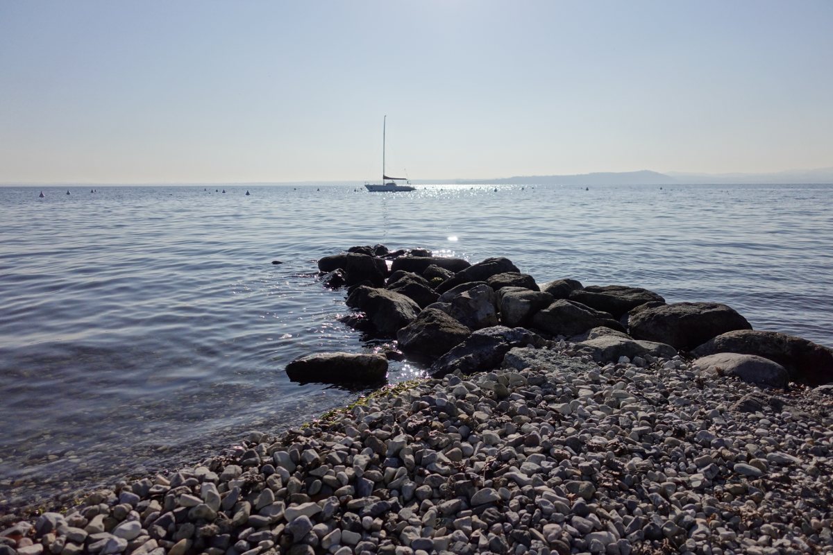
Glimpse of the lake
near Moniga del Garda
Photo 11 of 15
© gb for trekking-etc.it
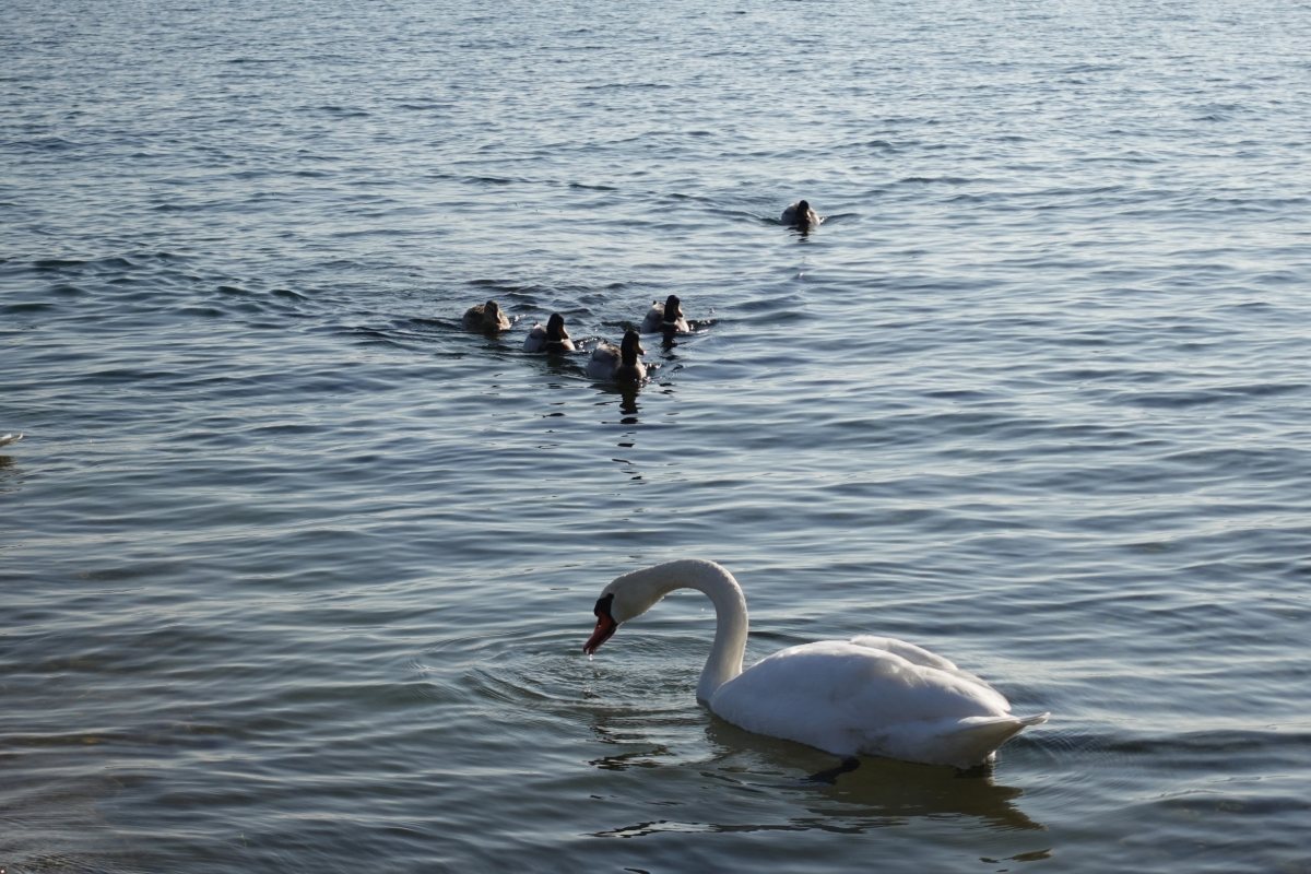
Swan and ducks
near Moniga del Garda
Photo 12 of 15
© gb for trekking-etc.it
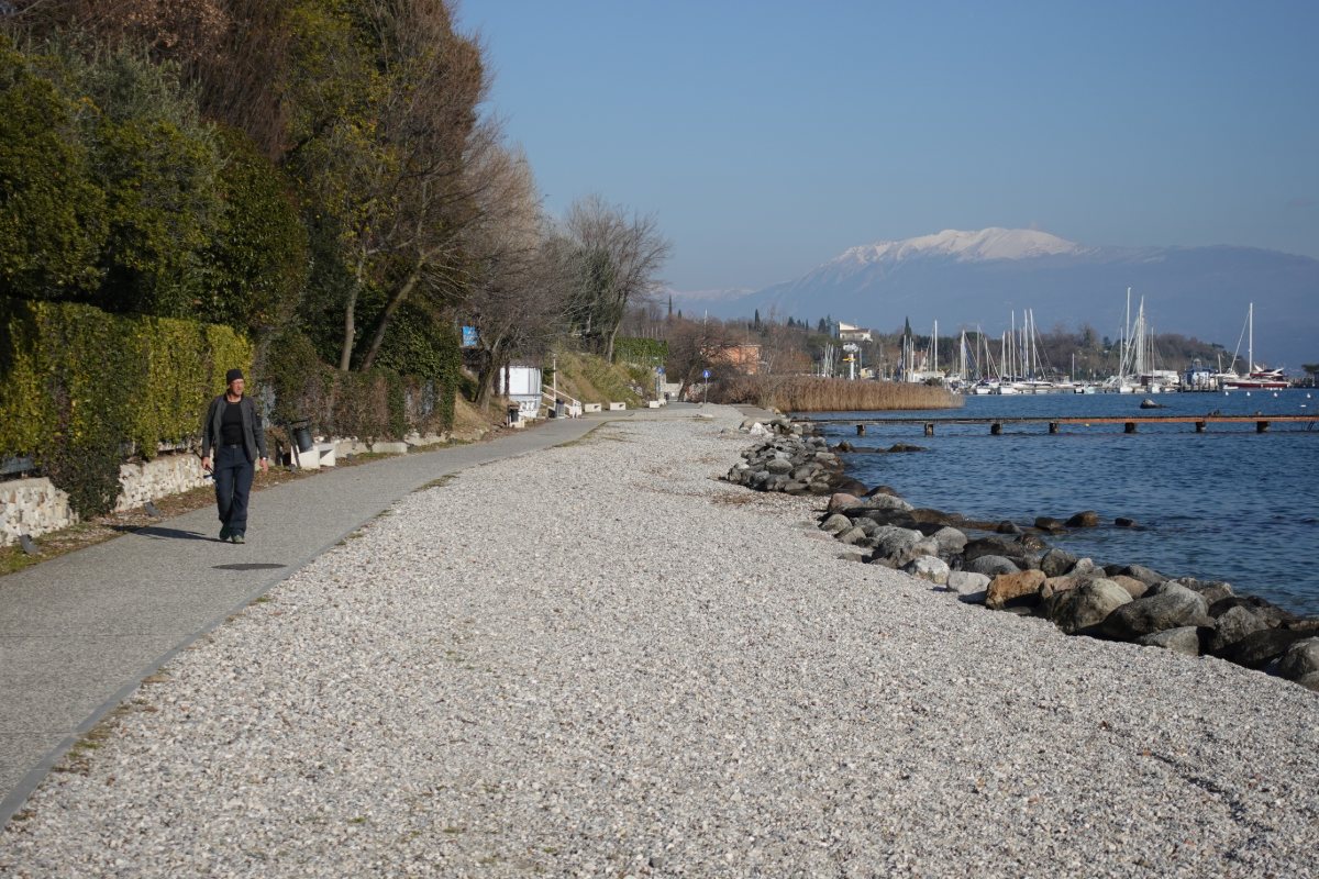
Walking on the lakefront
between Moniga and Padenghe, with Monte Baldo in the background
Photo 13 of 15
© gb for trekking-etc.it
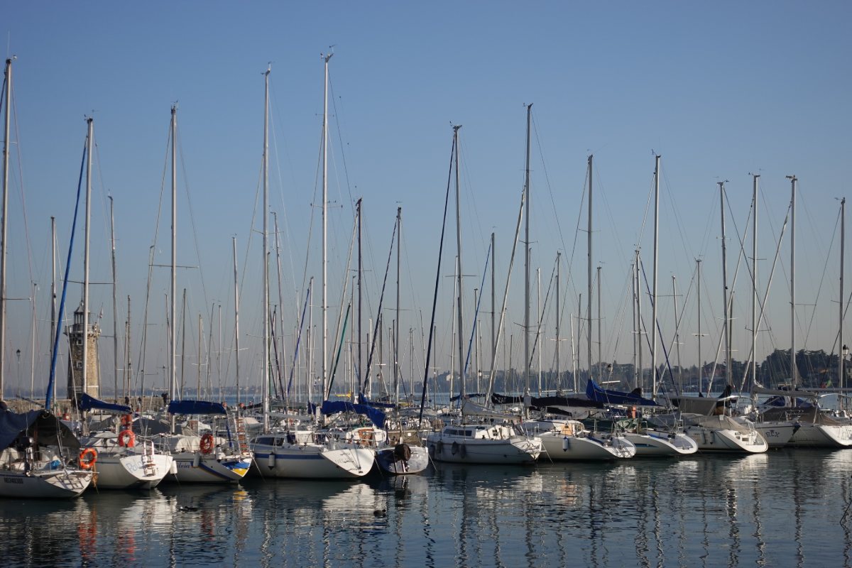
Desenzano del Garda
port
Photo 14 of 15
© gb for trekking-etc.it
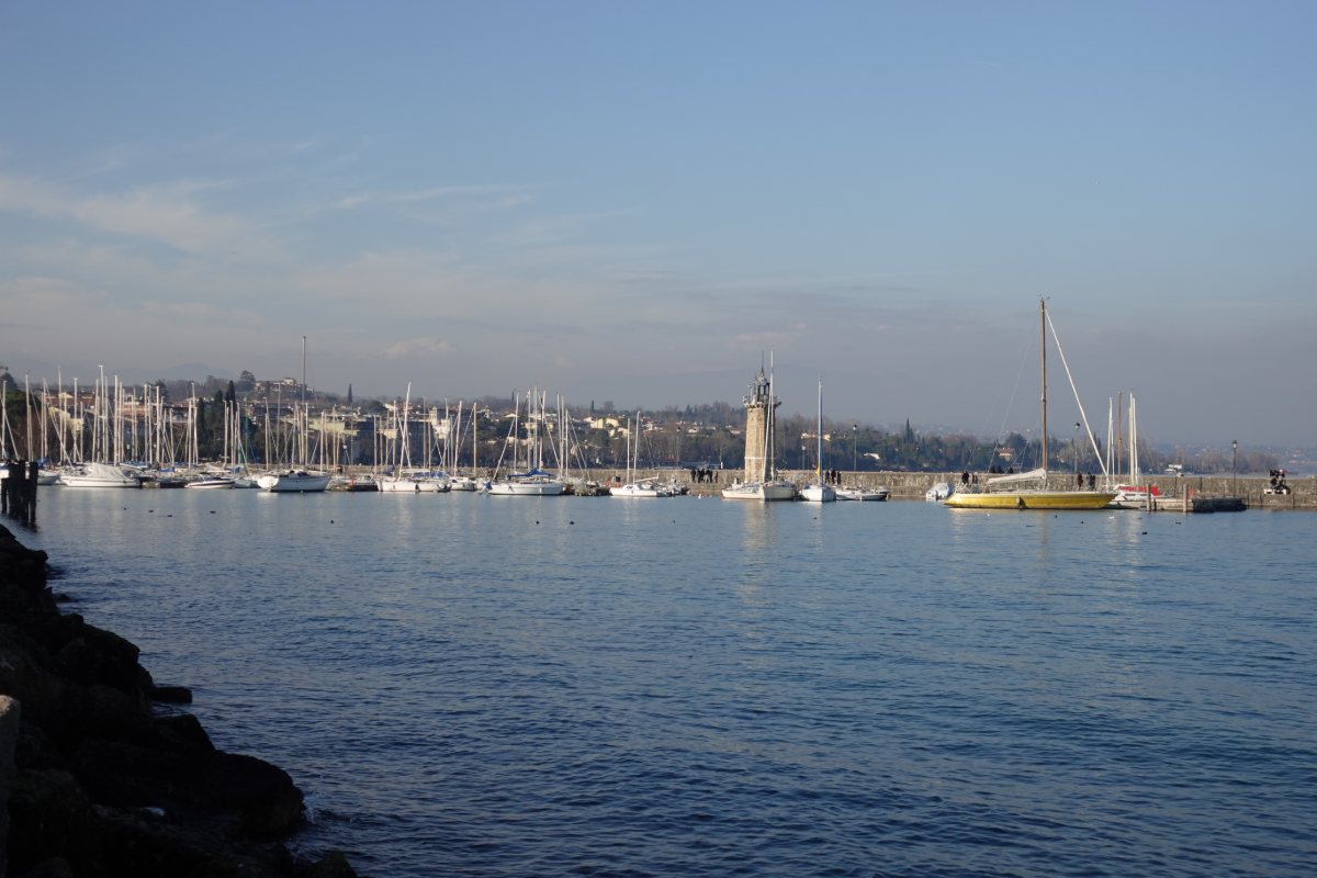
Desenzano del Garda
port and lighthouse
Photo 15 of 15
© gb for trekking-etc.it