
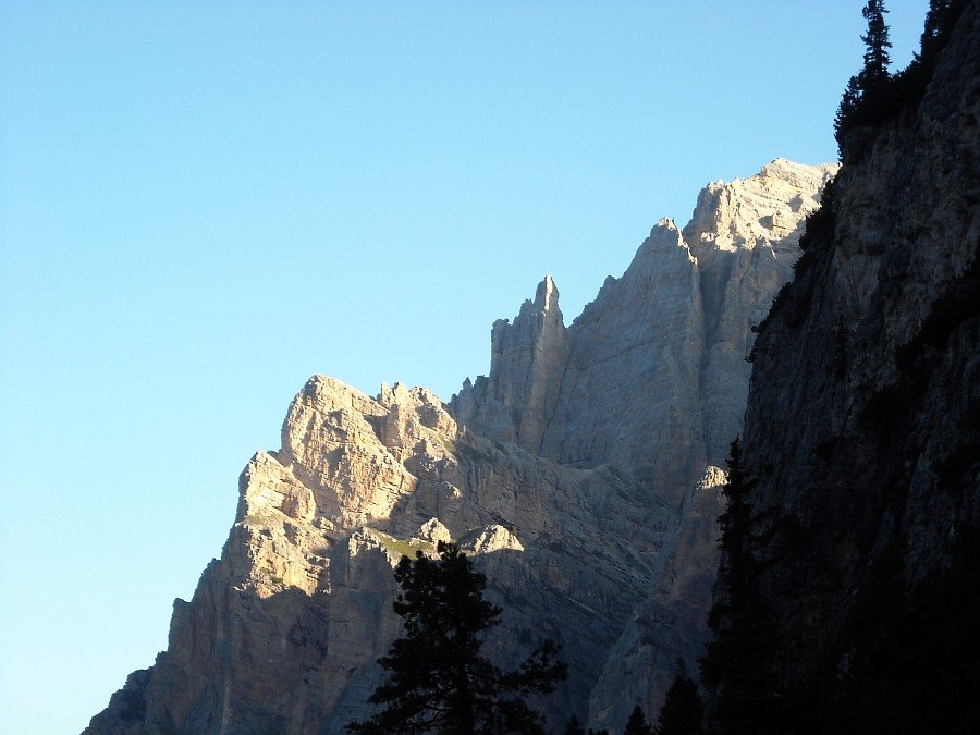
Sunrise
on the Conturines
Photo 1 of 27
© gb for trekking-etc.it
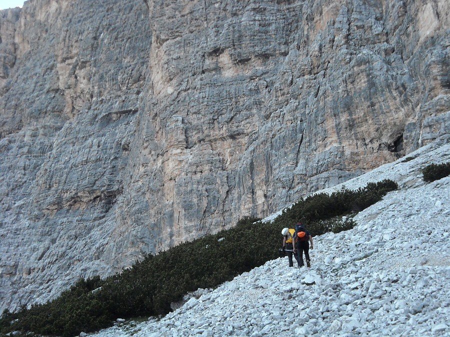
Approach
Photo 2 of 27
© gb for trekking-etc.it
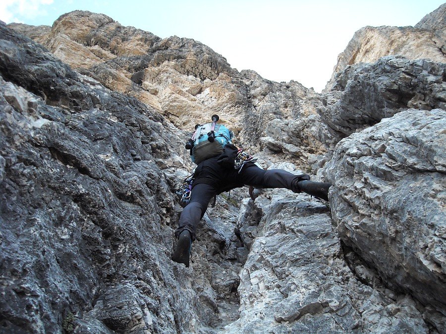
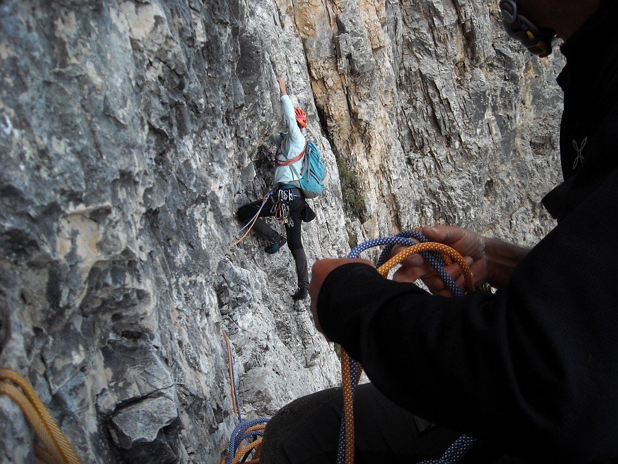
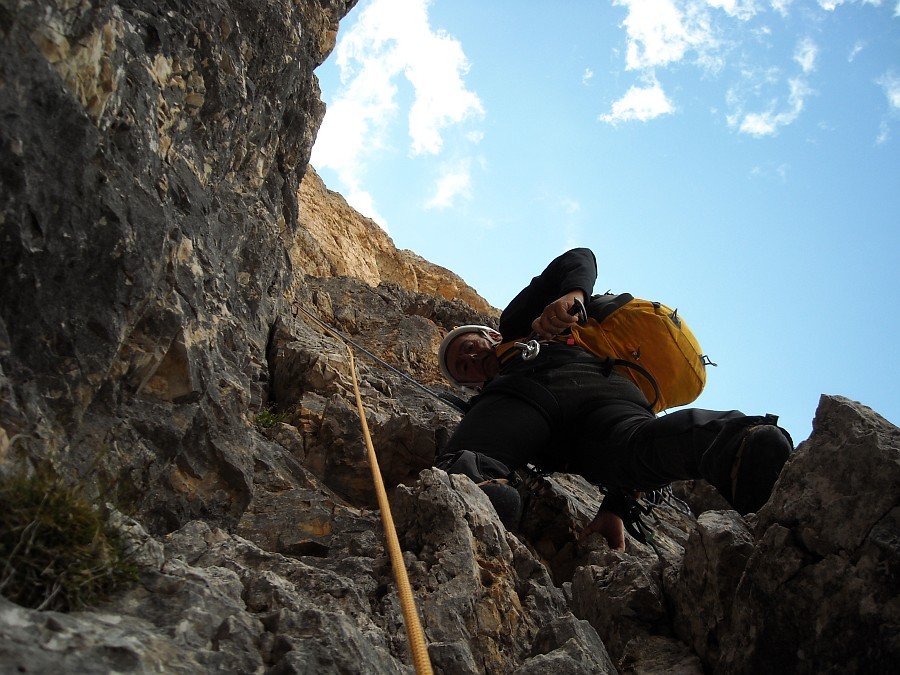
First lengths
on the base
Photo 3 of 27
© gb for trekking-etc.it
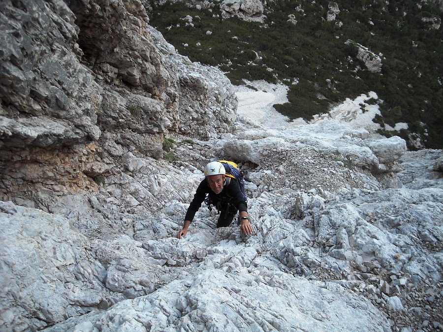
On the base
Photo 4 of 27
© gb for trekking-etc.it
On the base
Photo 5 of 27
© gb for trekking-etc.it
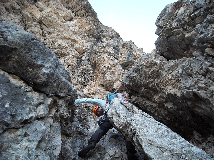
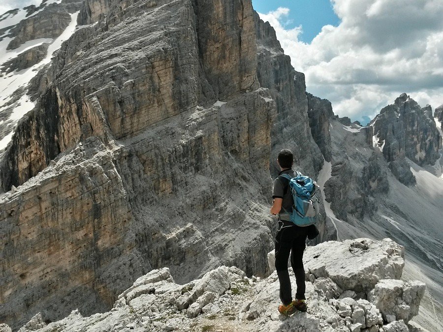
On the ledge
Photo 6 of 27
© gb for trekking-etc.it
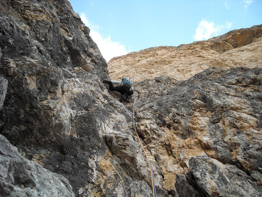
Sixth length
Photo 7 of 27
© gb for trekking-etc.it
Sixth length
Photo 8 of 27
© gb for trekking-etc.it
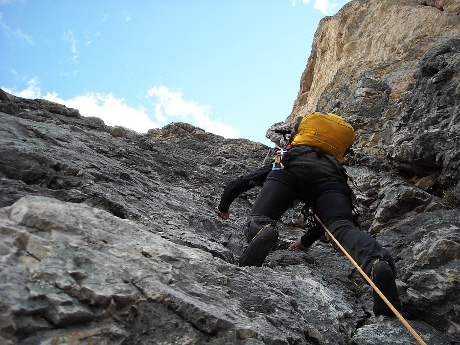
Eight length
Photo 9 of 27
© gb for trekking-etc.it
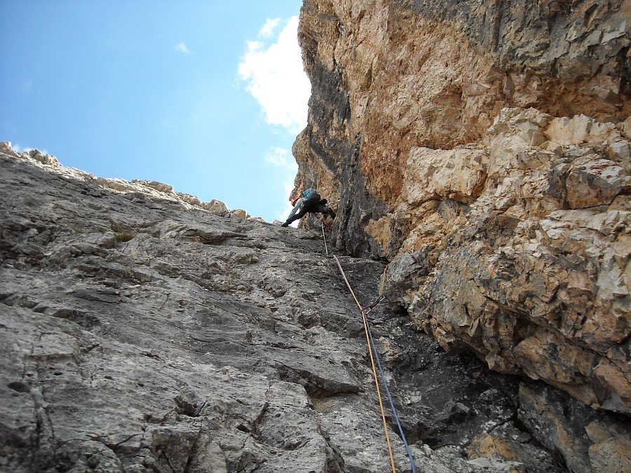
Ninth length
Photo 10 of 27
© gb for trekking-etc.it
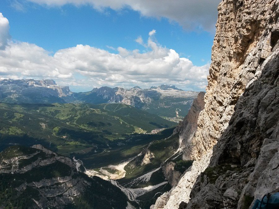
Panorama
towards Val Badia and Passo Gardena
Photo 11 of 27
© gb for trekking-etc.it
Tenth length
Photo 12 of 27
© gb for trekking-etc.it
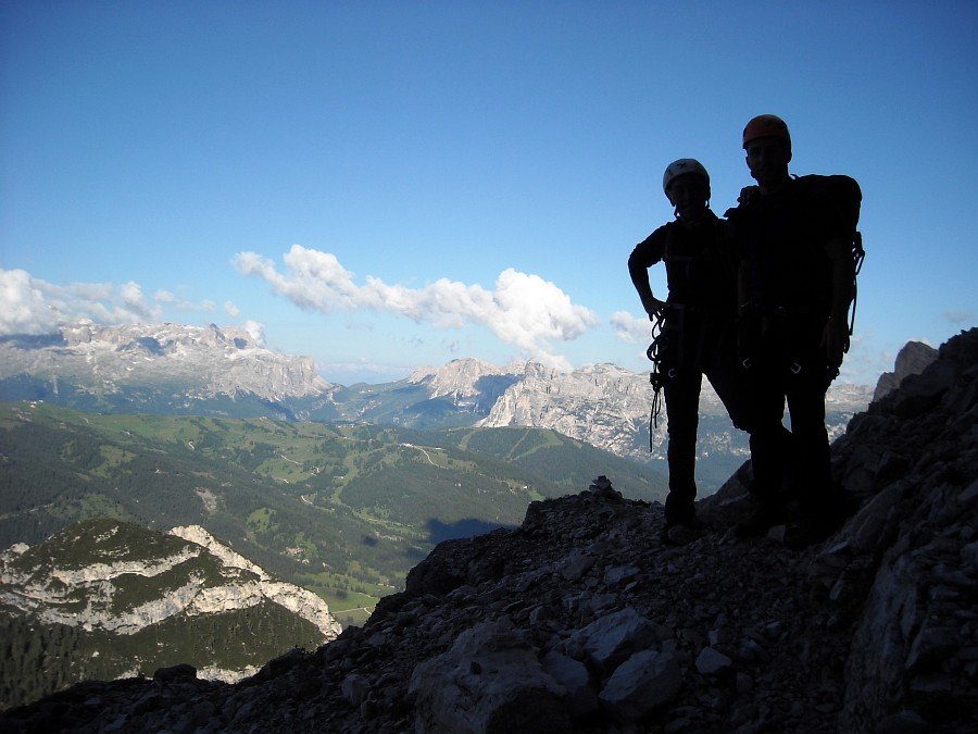
Panorama from the summit
with the Cime Ciampestrin and the Gran Pian
Photo 13 of 27
© gb for trekking-etc.it
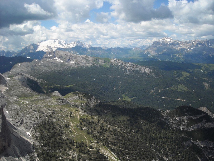
Panorama
with the Marmolada and the Group of Sella
Photo 14 of 27
© gb for trekking-etc.it
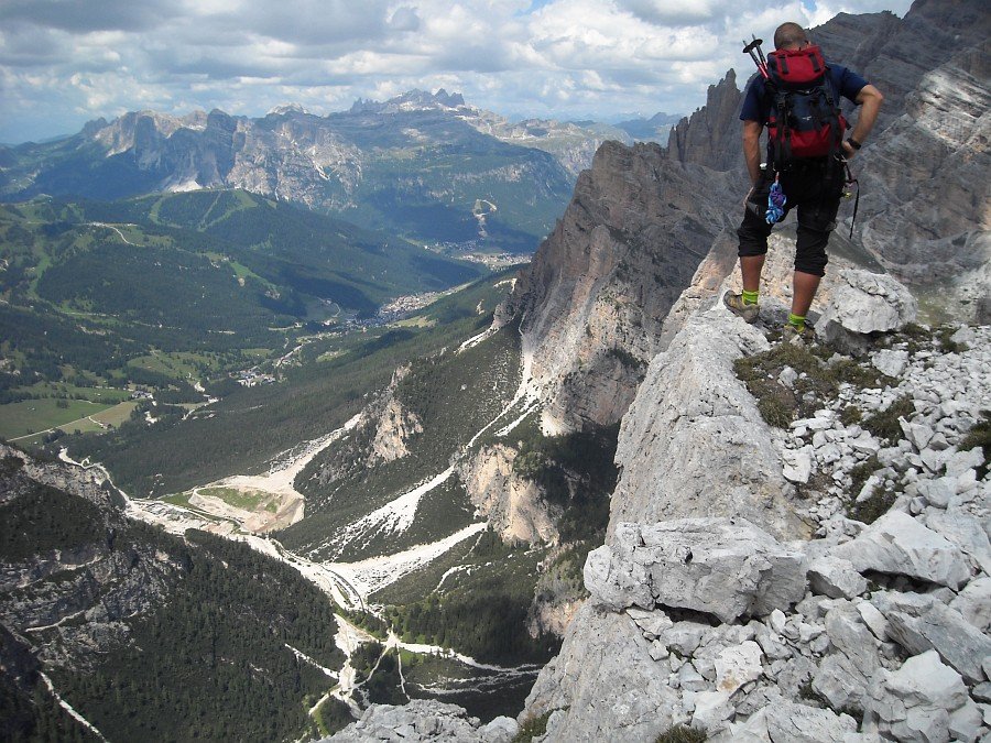
Panorama
on the Val Badia
Photo 15 of 27
© gb for trekking-etc.it
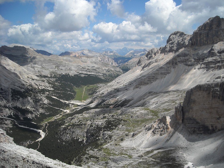
Panorama
towards the Group of Fanis
Photo 16 of 27
© gb for trekking-etc.it
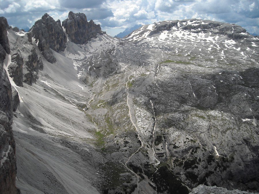
Panorama
with Fanis and Lagazuoi
Photo 17 of 27
© gb for trekking-etc.it
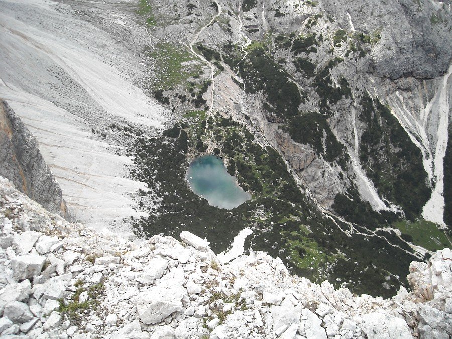
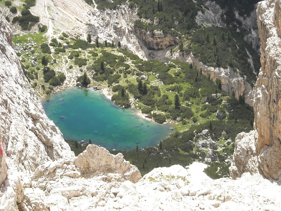
Lake Lagazuoi
Photo 18 of 27
© gb for trekking-etc.it
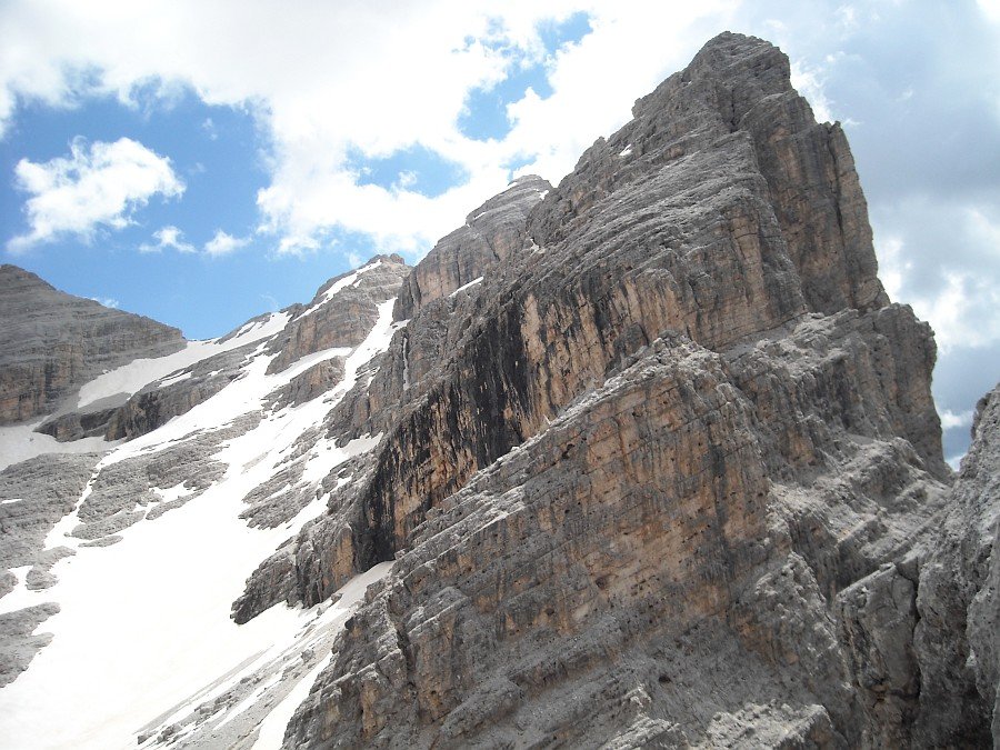
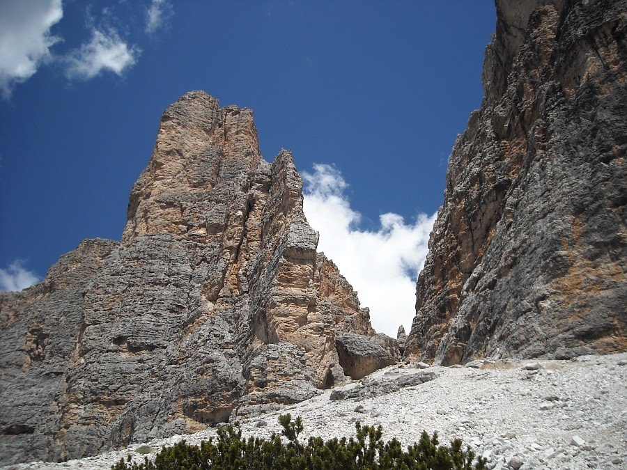
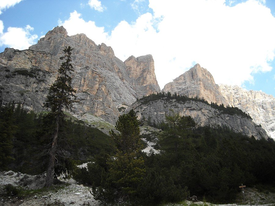
Cima Scotoni
Photo 19 of 27
© gb for trekking-etc.it
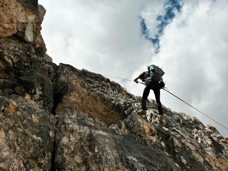
Double-rope
Photo 20 of 27
© gb for trekking-etc.it
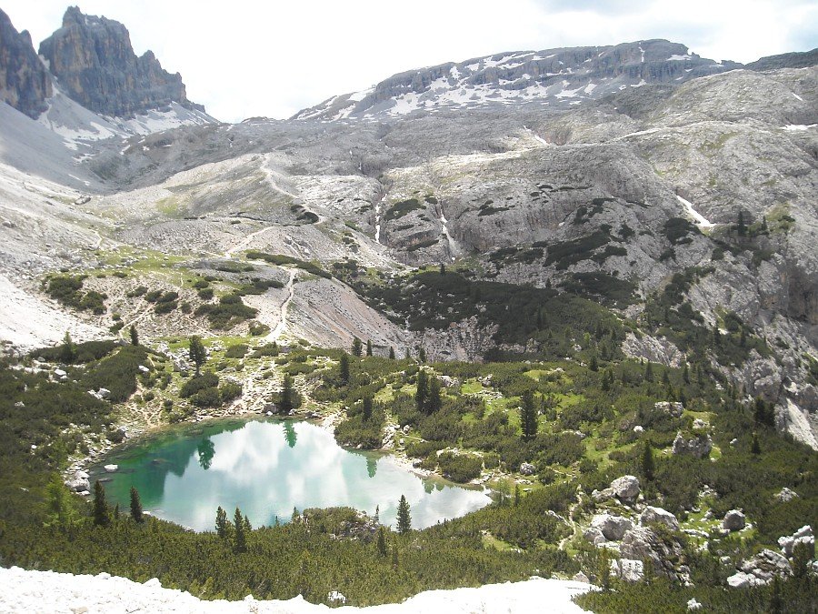
Lake Lagazuoi
seen from the Forcella del Lago
Photo 21 of 27
© gb for trekking-etc.it
Lake Lagazuoi
and Plateau of Lagazuoi
Photo 22 of 27
© gb for trekking-etc.it
Cima del Lago
from Lake Lagazuoi
Photo 23 of 27
© gb for trekking-etc.it
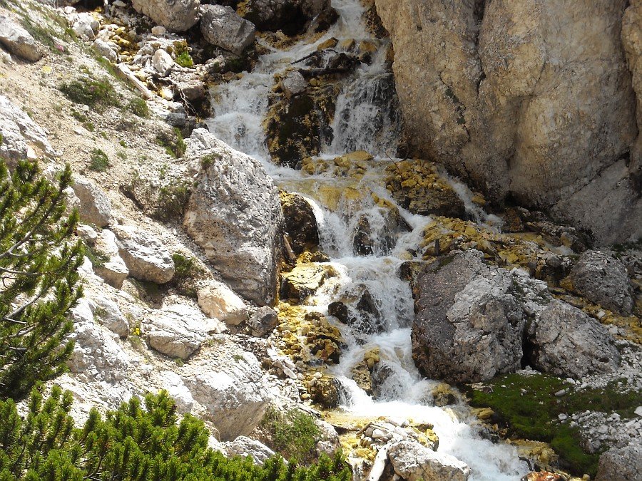
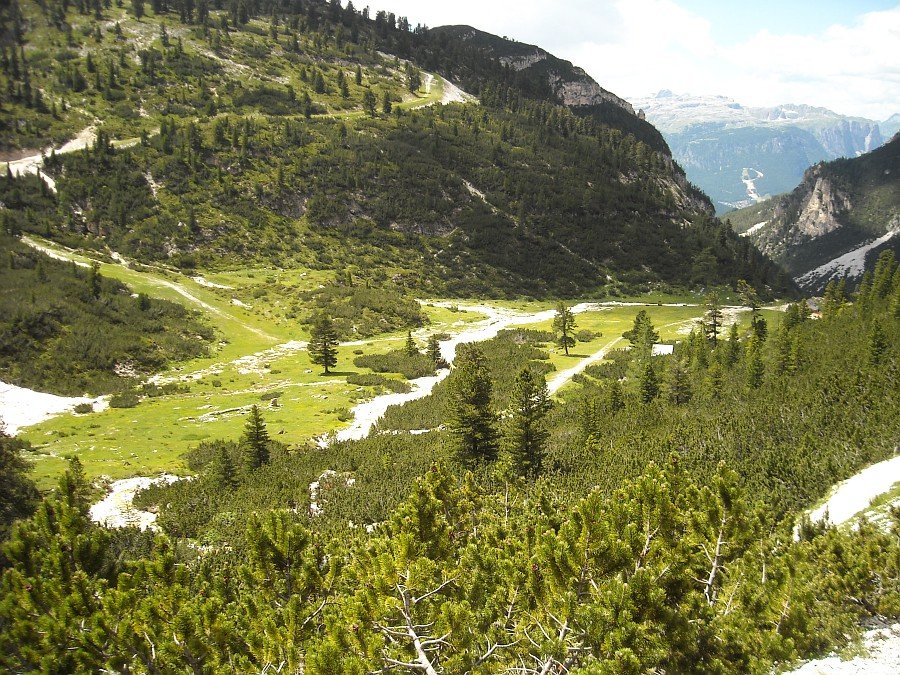
Creek
Photo 24 of 27
© gb for trekking-etc.it
green clearing
near Refuge Scotoni
Photo 25 of 27
© gb for trekking-etc.it
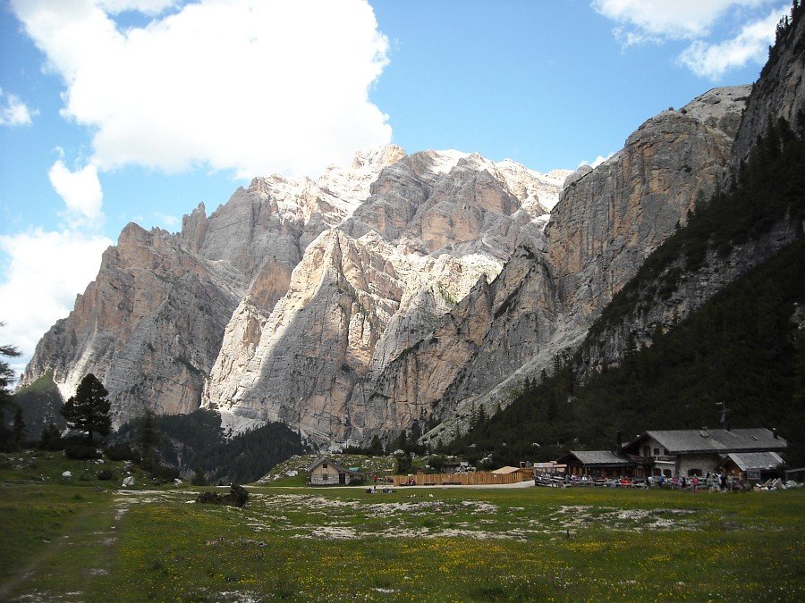
Refuge Scotoni
and the Conturines
Photo 26 of 27
© gb for trekking-etc.it
Cima del Lago
with the dihedral, and Cima Scotoni
Photo 27 of 27
© gb for trekking-etc.it