
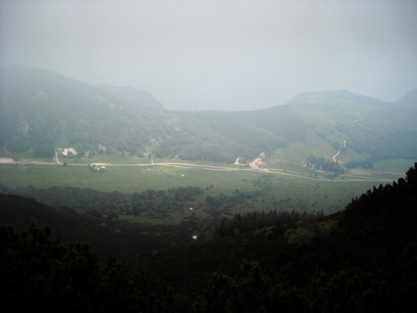
View
from the trail
Photo 1 of 6
© gb for trekking-etc.it
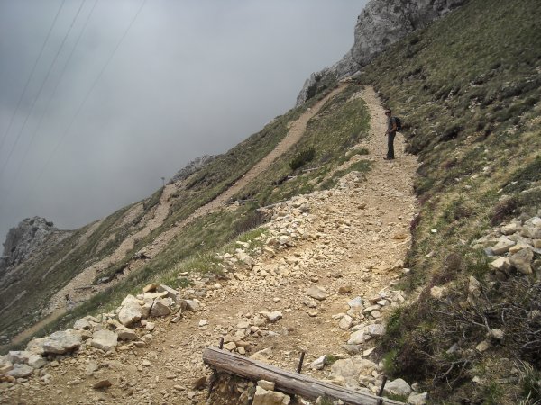
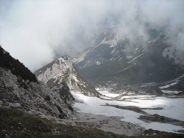
Trail
just before te summit
Photo 2 of 6
© gb for trekking-etc.it
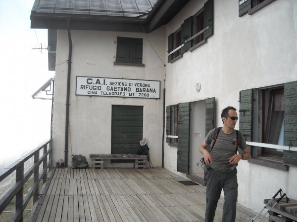
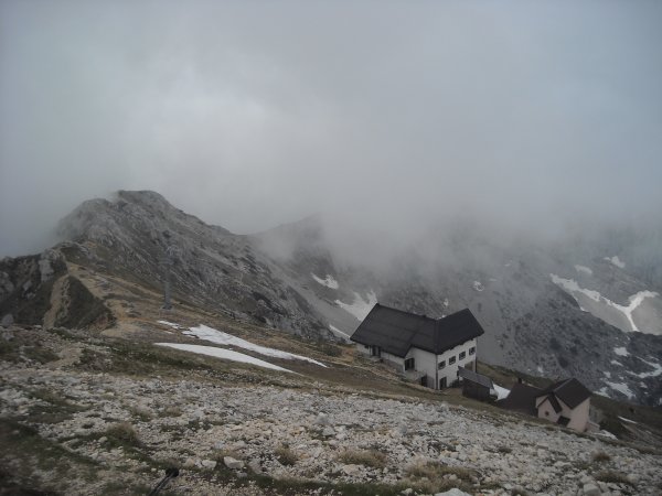
Rifugio Telegrafo
Photo 3 of 6
© gb for trekking-etc.it
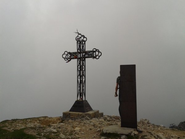
Punta Telegrafo
Photo 4 of 6
© gb for trekking-etc.it
Panorama
from the summit, towards north-west
Photo 5 of 6
© gb for trekking-etc.it
View
from the summit, on the refuge
Photo 6 of 6
© gb for trekking-etc.it