
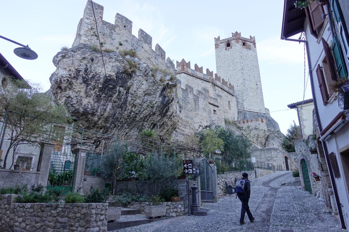
Malcesine
Scaliger Castle
Photo 1 of 11
© gb for trekking-etc.it
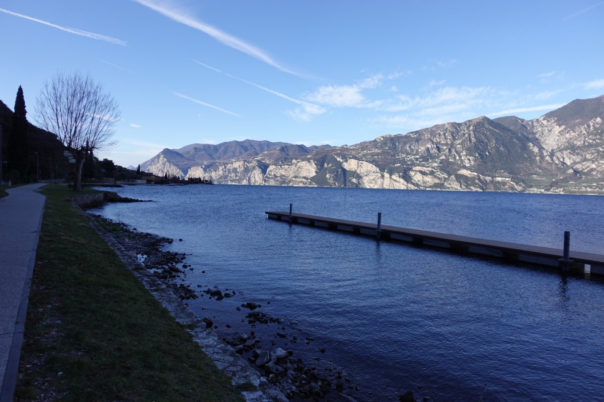
Panorama on the lake
between Malcesine and Navene
Photo 2 of 11
© gb for trekking-etc.it
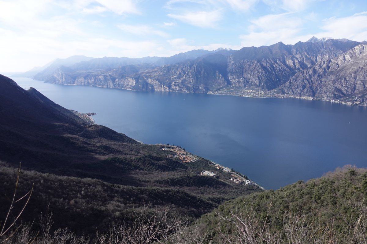
Panorama
from path 6
Photo 3 of 11
© gb for trekking-etc.it
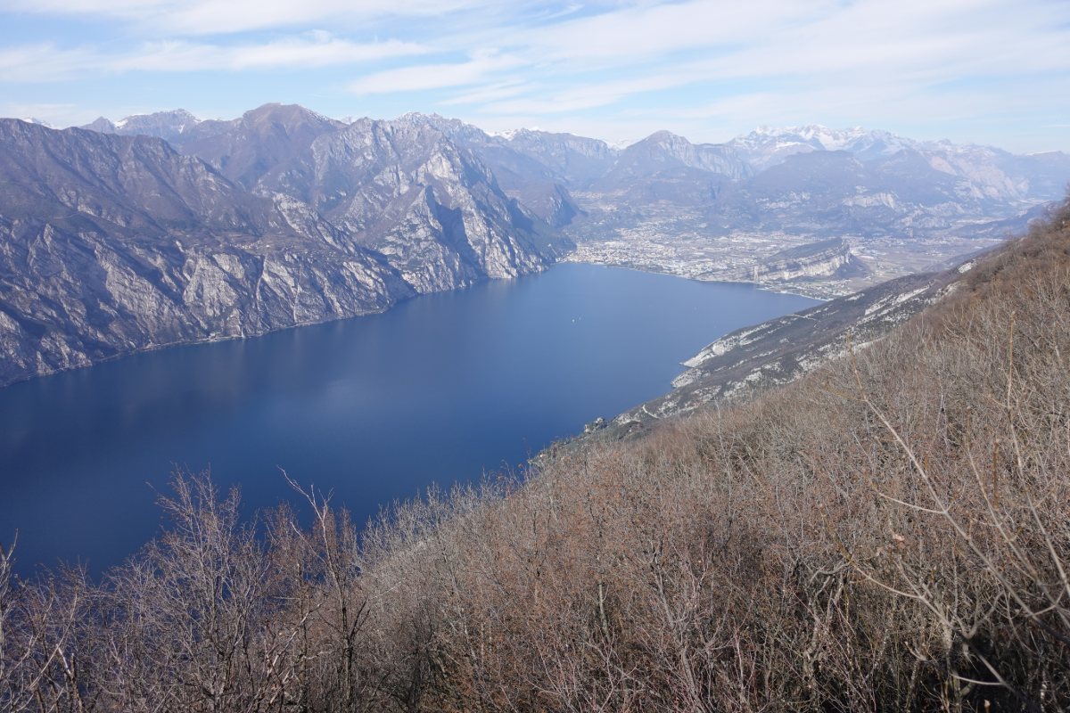
Panorama
from Dosso dei Roveri
Photo 4 of 11
© gb for trekking-etc.it
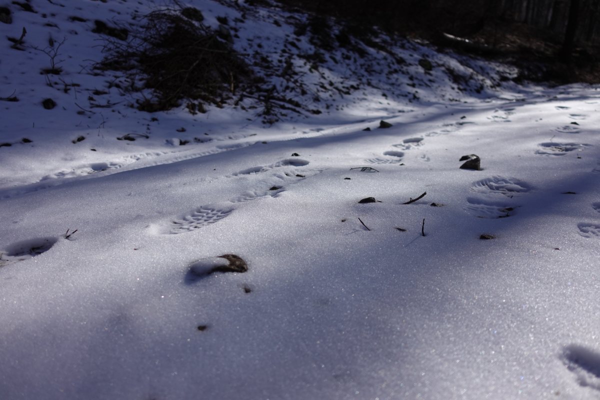
Our steps in the snow
on the Strada della Selva
Photo 5 of 11
© gb for trekking-etc.it
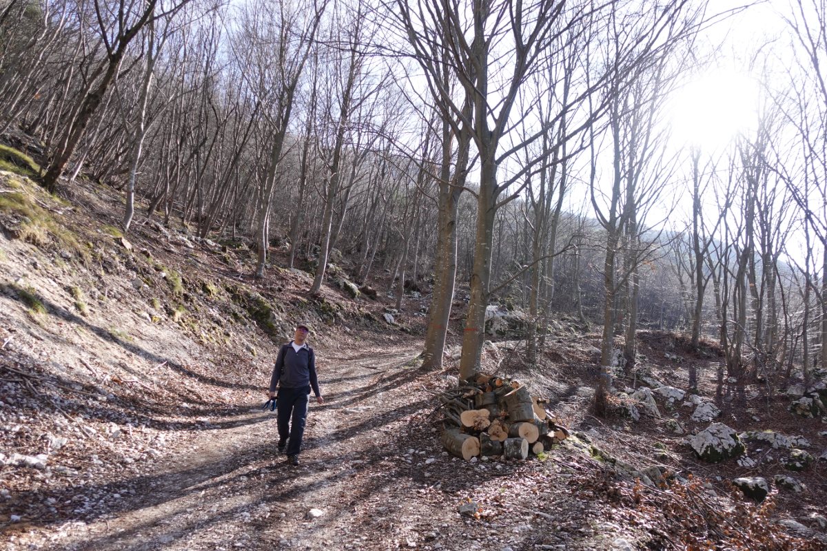
On the way
near Dos Casina
Photo 6 of 11
© gb for trekking-etc.it
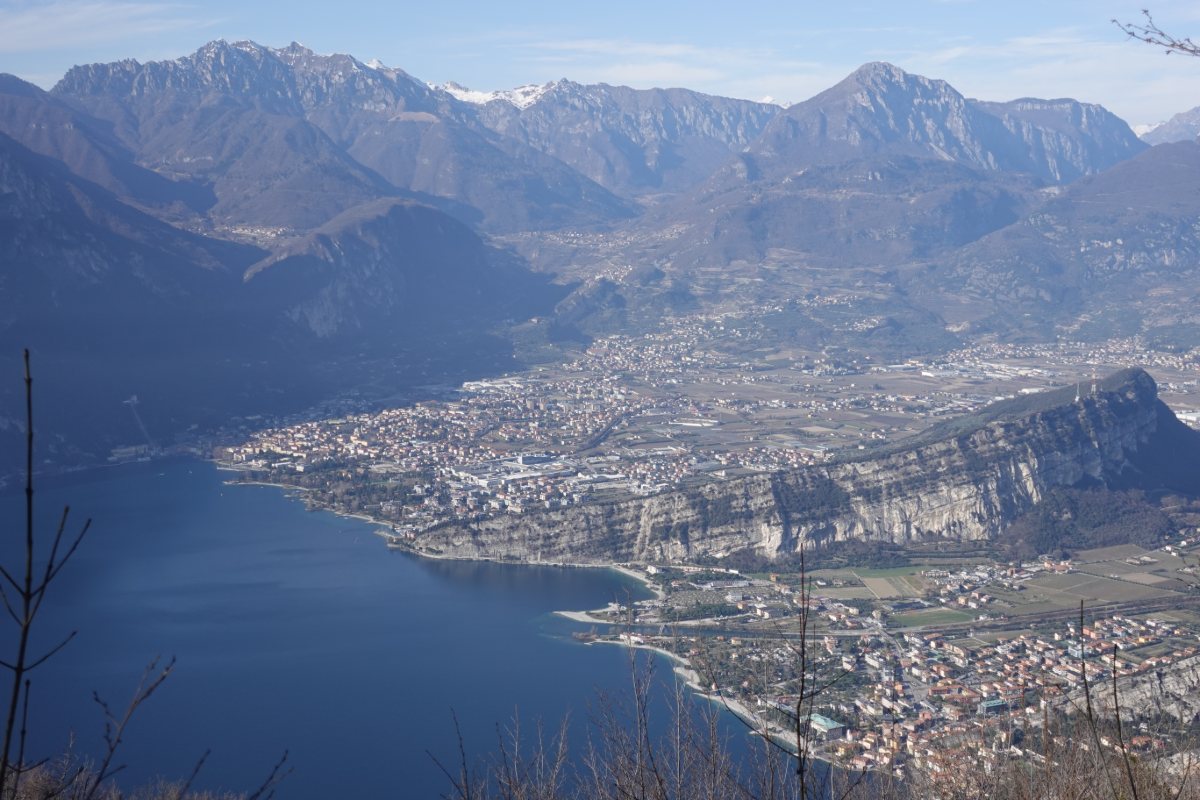
Panorama on Torbole and Riva del Garda
from near Dos Casina
Photo 7 of 11
© gb for trekking-etc.it
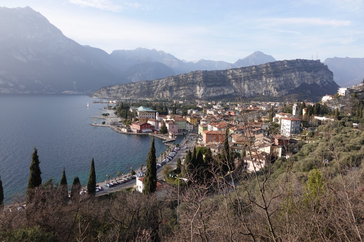
View on Torbole
coming down from the Busatte Park
Photo 8 of 11
© gb for trekking-etc.it
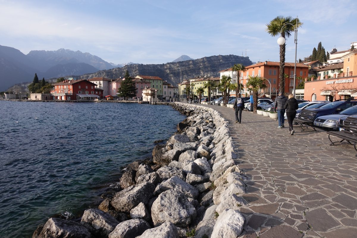
Torbole
lake front
Photo 9 of 11
© gb for trekking-etc.it
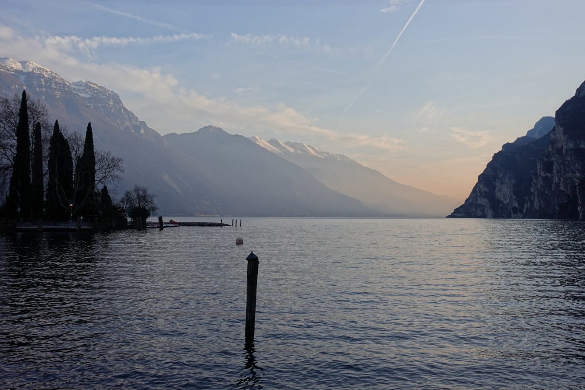
Panorama towards the lake
From near Riva del Garda
Photo 10 of 11
© gb for trekking-etc.it
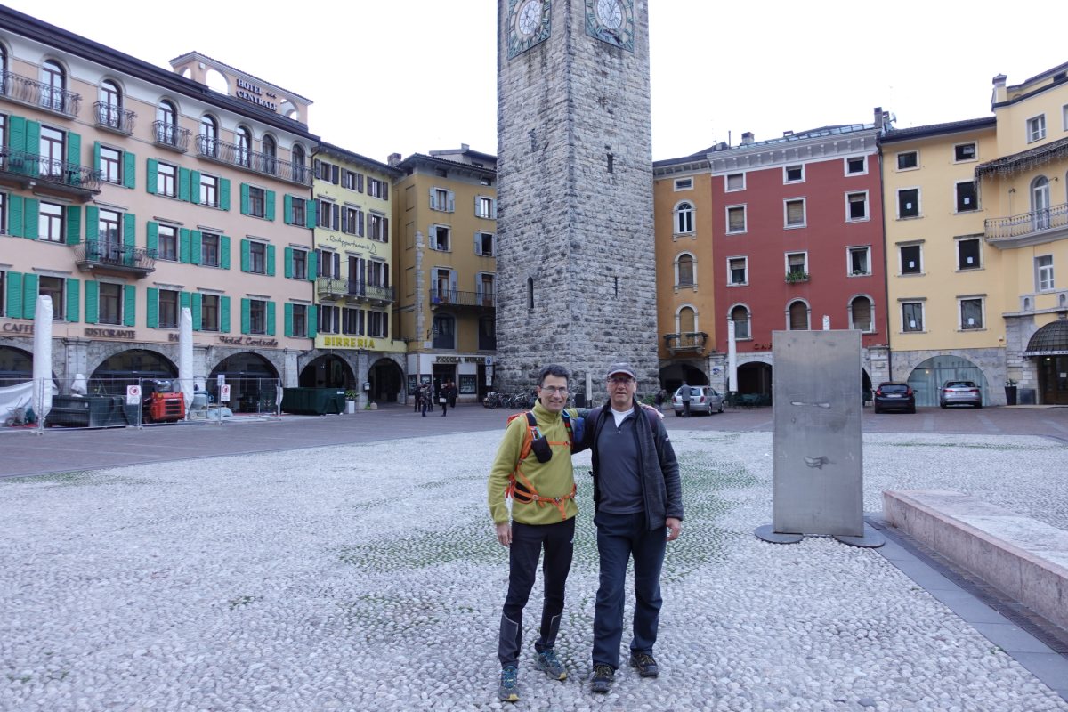
Riva del Garda
memory picture on arrival
Photo 11 of 11
© gb for trekking-etc.it